5.30 taxi to Birmingham Airport and a fairly efficient route through check-in with help from an
Assistant as the machine would not read my barcode!
However RYANAIR app did the trick.
Security took a little longer but we soon comfortably seated in the “ Spoons” where I treated myself to Eggs Benedict and limitless coffee. All the group were refreshed and after a trip to Boots we found our Gate and were seated efficiently on Ryanair 08.35 flight to Barajas Airport,Madrid.
An uneventful flight and after disembarking found ourselves in a long queue through security, casting envious glances at the rapidly disappearing EU passport holders,including Rob,proudly brandishing his Irish passport.
Another BREXIT benefit but at least we were in charge,confirmed by the fact that the UK had exceeded record numbers of migrants….Still, the Braverman witch was saying we don’t need to import fruit pickers – we can train our own .
There she goes …if only.
I wonder how many days,weeks or years it takes to train to be a fruit picker. Perhaps you get the same elevated status of someone who can make a cup of coffee who then call the selves “ Baristas”.
Synonyms for “ fruit picker “ are notoriously rude so don’t go calling yourself a “wenatcheebanana” !
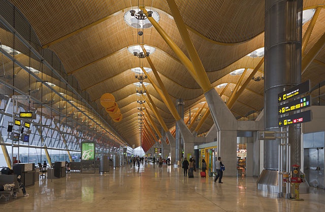
Getting back on track we eventually found the transfer bus from Terminal 1 to Terminal 4 and the newly designed Barajas bus station.
Let the light in …
Very light and spacious, however, unusually for Spain, no cafe/ bar, but well stocked vending machines even though the group found the sandwiches rather bland. Fortunately, my accountant had prepared a Ramblers style picnic for which I was very grateful.
The weather looked fine from our viewpoint in the departures hall and Ranjit, one of our group on his first Camino disappeared for a few moments, only to return in a very fetching pair of shorts and t-shirt. I had to remind him we were going to Burgos not Benidorm but we all admired his optimism. Perhaps it was well founded because the forecast for our first day’s walking destination tomorrow,Hontanas’ is set at 16* and sunny – ideal walking conditions
There was a little confusion at the departure bays as there were two buses departing simultaneously.
How I miss driving in Spain.
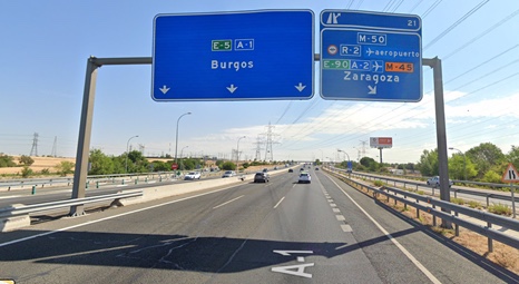
Both via Burgos and it was far from obvious which was which until we started to board the wrong one ! The joys of travelling independently. ALSA buses
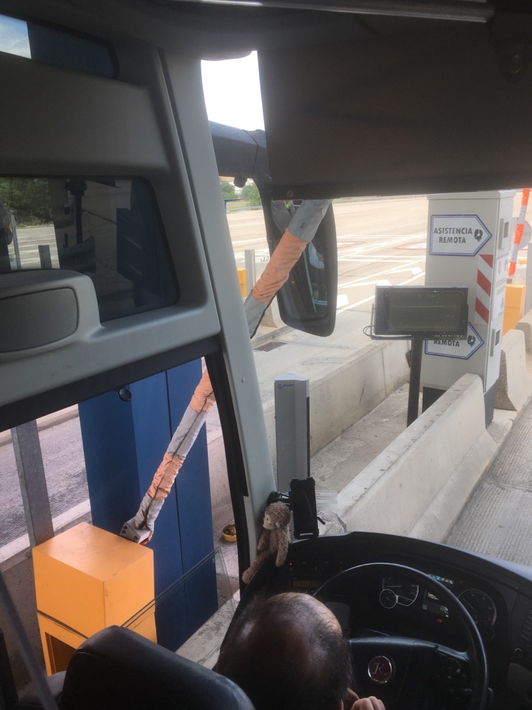
We had hardly travelled for five minutes when the coach approached the barrier to the Autovia, a coach in front moved through and just we were about to do the same, the brakes were jammed on suddenly….the barrier had managed to wedge itself between the drivers side wing mirror and the bodywork of the coach. Two female employees started rushing in and out of the booth and achieving precious little…I expect this was a “ first”. After a wait of fifteen minutes or so assistance appeared in a van with a man. After a few light hearted exchanges with our somewhat surly driver, he pressed something and the barrier lifted, the bus reversed a metre or so,the barrier was tested twice and then thankfully were were able to continue our journey northwards.
Whoops a daisy !
About 90 KM from Burgos there was a hold up on the road by the Guardia Civil – diverted into one lane- with guys holding serious weapons – I’m pretty sure they weren’t checking for insurance. No photos for obvious reasons.Not too long a delay and we were off again.
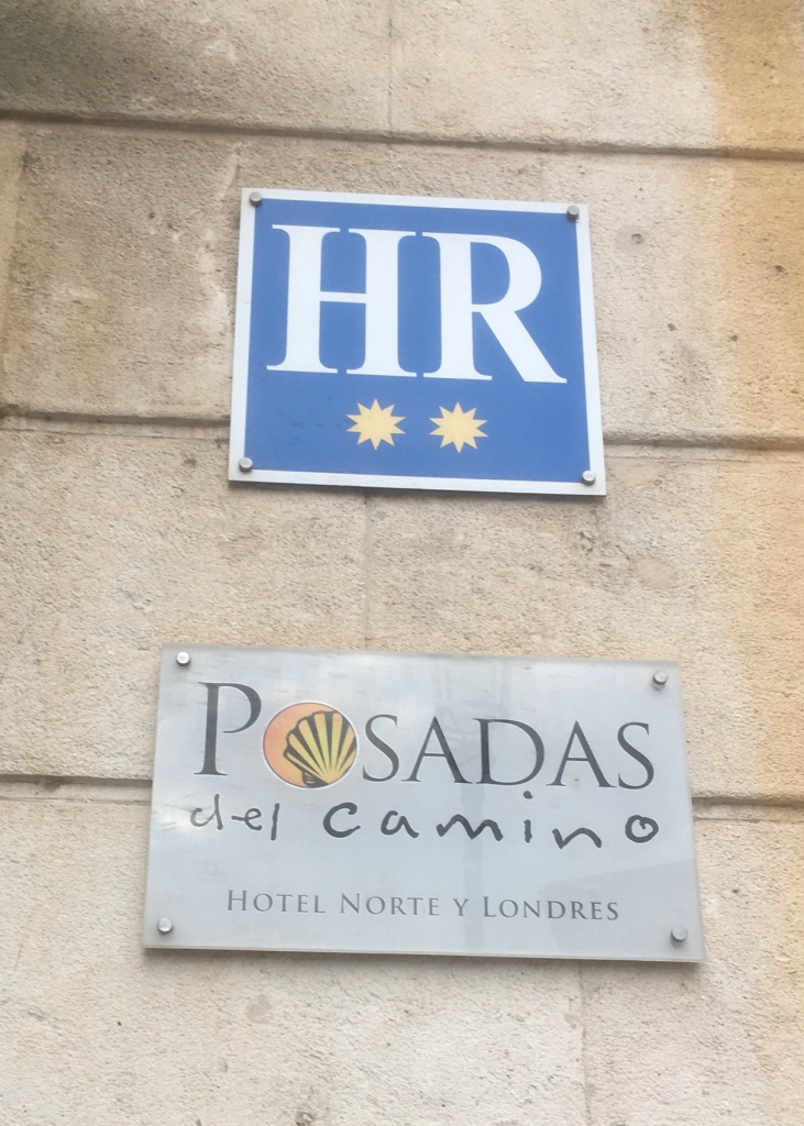
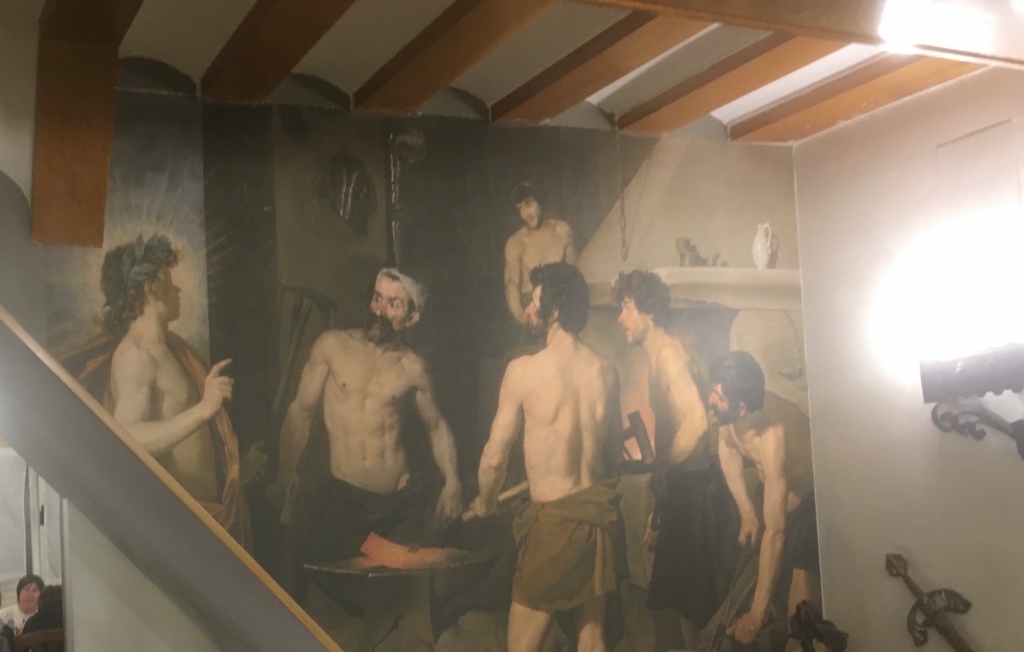
Tom got us to our Digs – Hotel Norte y Londres – pleasant check in and within half an hour we were in Bar Aguilas where Ranjit recounted his problems booking in down the road, but with only 200 metres to walk to our chosen restaurant for the evening – something to do with Blacksmith’s).
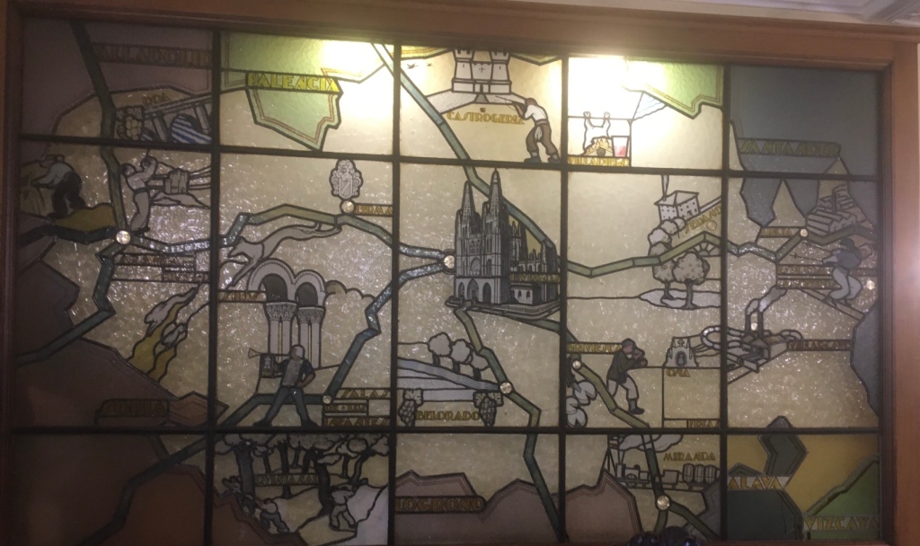
Stained glass mural in the hotel lobby
A pilgrim friendly menus for €17.00 , 3 courses plus wine and bread and a choice of ten starters and mains – rustic cooking at its best and to complete the night a dessert of Arroz con Leche. Muy Buen.
Something related to Blacksmiths
Somebody had the idea of a “ digestif” and so we called in at Los Aguilas again. Whilst deliberating on what to drink the waitress held a bill for 3 unpaid beers earlier on! A total oversight that they accepted good humouredly.After all, if we had done a runner we would not have some back!
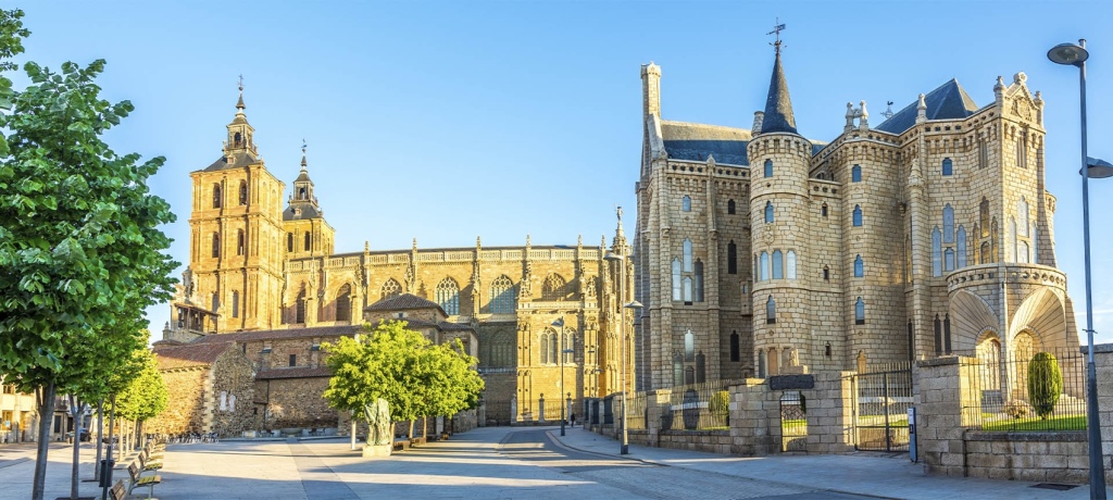
We should have time, late afternoon and evening, of 27 th May to take in some of the highlights of this City.Part of Anton Gaudi’s legacy.
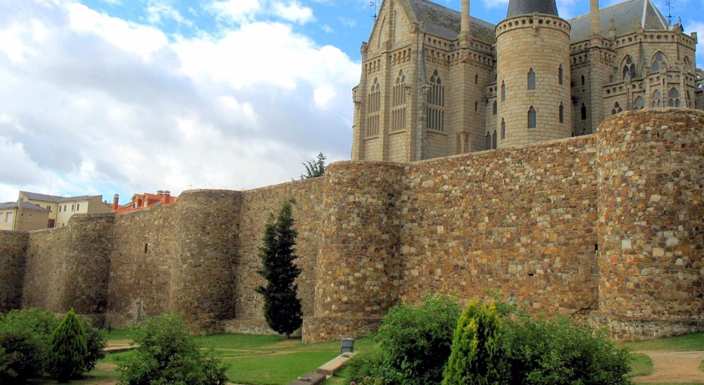
The capital of the county of Maragatería in the province of León offers a rich medieval legacy, the result of its location at the crossroads of: the Pilgrim’s Road to Santiago de Compostela and the Ruta de la Plata (Silver Road). Its walled town preserves churches, convents and hospitals which take travellers back to the purest tradition of the Pilgrim’s Road. Another outstanding feature in the town’s streets is a culminating work by the Modernist architect Antoni Gaudí: the Bishop’s Palace. Astorga is, also, a good opportunity for enjoying the rich cuisine of this area.
Beautifully preserved walls
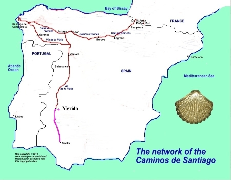
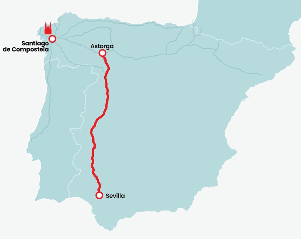
Astorga stands at the confluence of two important Spanish routes which in past times were pilgrims’ itineraries. The older of the two, the Silver Route, dates from Roman times. This itinerary (Gijón-Seville) was the route used to transport the metal extracted from the mines in the north of the peninsula to the shipping ports in the south. During the Middle Ages it was used by Arab and Christian troops at the time of the conquest and the reconquest. This excellent communications route throughout the centuries then became the way for pilgrims heading for Santiago de Compostela.The Way of Saint James, the Jacobean route that has been declared a part of our World Heritage by the UNESCO, also runs through Astorga. This was part of a series of paths that criss-crossed Europe and northern Spain on the way to Santiago de Compostela, a holy city by virtue of being the site of the tomb of Saint James the Apostle. The historic quarter of this town in Galicia is also a World Heritage Site. WP States “ In Astorga you May notice a sudden increase in the number of pilgrims…they are likely Spanish, as this is a common starting point for Spaniards,or they have come from Sevilla along the Via de la Plata. A quick peek at their boots will tell the two apart”
About 700 KM
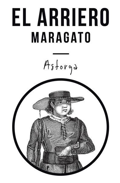
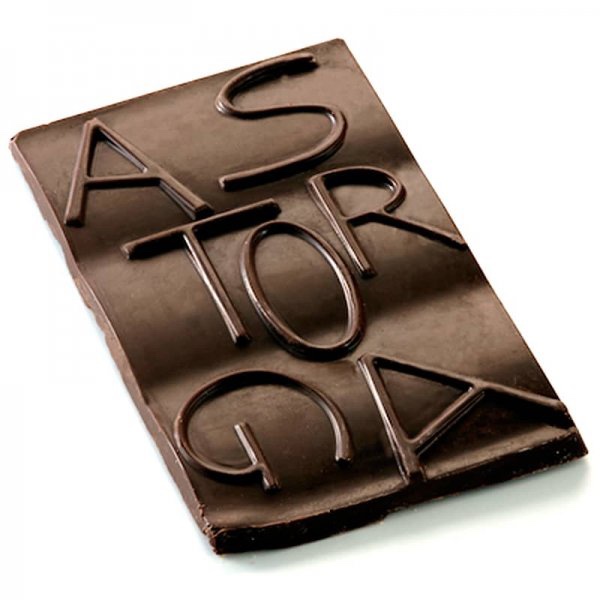
“ Astorga also marks the beginning of the territory of Leon known as the Maragateria,home of a people called Maragatos….defined by the unique culture of strong mountain people, including arrieros ( traditional muleteers ) who transported goods over the mountains before there were railways and trucks and who were key to to Astoga’s rebirth as a centre for chocolate making”. BB
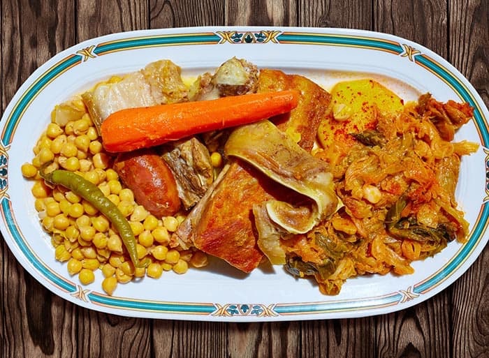
Continuing the Maragateria theme, the local cuisine – make a stop in any of the restaurants in the centre of town to sample the region’s traditional dishes. The exceptional quality of the pulses from León can be savoured in dishes like ‘cocido maragato’ (chickpea stew), which here is served in the reverse order from in other parts of Spain. Diners begin with the meat, chorizo and dumplings, and end with the chickpeas, cabbage and soup. ‘Cecina’ (cured dried smoked beef), ‘botillo’ (cooked smoked pork sausage meat), ’empanada’ (savoury filled pastry) from El Bierzo, cod and trout are some of the other delicious options. I think I might know who would be up for the challenge.
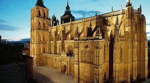
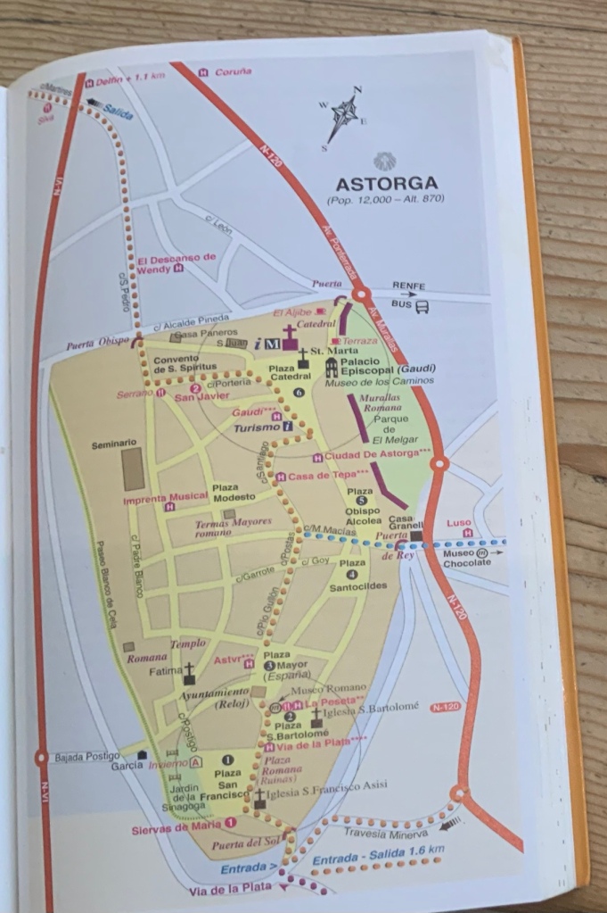
Here are just six of the highlights in what JB describes as “ An attractive city ( more akin to a lively market town) set atop a steep ridge with an…interesting array of historic buildings all tightly packed within its medieval walls”.
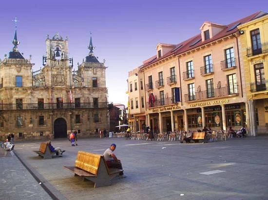
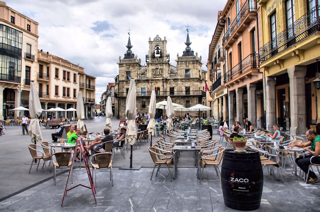
PLAZA SAN FRANCISCOPLAZA SAN BARTOLEME PLAZA MAYORPLAZA SANTOCILDESPLAZA CATEDRAL
Brierley’s guide book has a useful walking tour on P.199
Hey Presto!
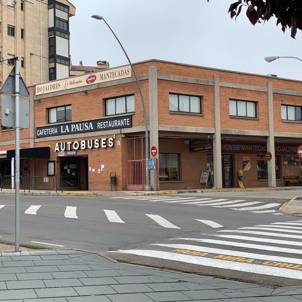
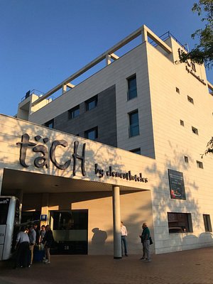
On the morning of 27 th May we take a five minute walk to Astorga Bus Station to board the 10.20 ALSA coach to Madrid. On arrival at 15.00 we will make our way to TACH Airport hotel.
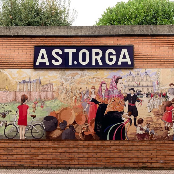
Mural in the bus station On Monday 29 th May we have an early start to get the 06.40 flight from Madrid to Birmingham, arriving 08.10.
I have benefited greatly from these four guide books and hope I have credited them accurately.
“Walkers seek their place in the world and often find it.” And walking heals. It is a remedy for melancholy, against the sorrows of a separation, even against certain diseases. There’s a lot of talk about resilience right now. I prefer the word resistance, more combative. Walking is resisting” by David Le Breton in “Walking Life”. The endless geography of the walker
Looks fairly flat, apparently some friendly hills towards the end of the journey
“ The majority of this stage is relatively solitary so bring food and water ( there are few villages on the way ) however there are attractive sections with trees and other shade in which to rest out of the sun…allow some time to savour Orbigo. Note the last section beyond Orbigo has some gentle hills” JB
Let’s hope we don’t feel like that when we reach AstorgaNuff said !
BB gives some further advice, “ If it rains, even only slightly, along this stretch, watch the path under your feet,for snails and caterpillars may come out to revel in the precipitation. Notice that the terrain is changing, shifting from mustard yellow towards a darker,iron- rich Earth. The fields around you grow many large-scale crops, including corn,potatoes and sugar beets.”
The Puente del Paso Honroso is called a “ top experience” by BB “ the 19-arched bridge “.
“ Pause for a while,take off your backpack and enjoy the magnificent sight of the bridge over the River Orbigo. It’s the longest on the Way, having no fewer than 19 arches and making more than one change of direction along its length.” SR“ However,before crossing look carefully in case a knight in armour is barring your passage. The story goes that in the year 1434, in a Co with a promise he had given to a lady, Suero de Quinones mounted guard on the bridge from 10 July to 10 August and challenged whoever might wish to cross to a joust. The episode came to be called El Paso Honroso ( the honourable pass ). He found himself with plenty to do, as it is said that in that space of time 166 opponents faced him. He defeated them all.” SRLet’s hope we can cross without a fight ! WP rightly states that “ Where there are rivers with bridges there is always history to be found”. And we should add, fabulous stories too.It is also rumoured that the said knight set off on his own pilgrimage to Santiago. JB suggests that this act of chivalry’ “May have been the an inspiration for Cervantes’ Don Quixote “
“ Pass over the bridge to the equally delightful village which, on the far side becomes Hospital de Orbigo and a knights commandery of the ancient Order of St. John who maintained a pilgrim hospital here”
LEAVING HOSPITAL de ORBIGO “ Follow the yellow arrows out of town where the main road through Hospital de Orbigo turns from black asphalt to a wide earth path. Here the road splits, one following the Astorga / Camino Way to the right, and the other Astorga / by Highway to the left.BB Both JB & BB recommend the the turn to the right. “Staying on the Camino Way is more beautiful,wilder and rewarding, passing through low red hills,wheat fields and groves; this also seems to be the original path of the Camino and has more food and accommodation support.” BB “ It is only a little longer…and above all, you do not have to hear the traffic” . SR
There is a bar and a shop here. On leaving the village BB informs us. “ Keep your eyes open for wildlife, including hawks and falcons that hunt small game from the treetops and ride air pockets in the sky. Sant Ibanez de Valdeiglesias come shortly after leaving here , population 323. “ the village itself could be missed in the blink of an eye” BB“ This place is in the heart of corn country, so much so that locals call it “El laberinto de maiz “ ( the corn labyrinth “ BBOne dog,man missing! But it does have a bar situated in the Albergue Camino Frances.
After 5 Km or so you come upon La Casa de Dioses.BB is the only one of the four guides I have been referencing to mention this “ free pilgrim paradise”. La Casa de Dioses “ feels like a small encampment on the Mongolian Steppe. Yurt like shelters made of blankets give warmth as does a hot kettle of tea. Bowls of fruit are arrayed on tree stumps and a food stand is arrayed with cheeses hard boiled eggs,yogurt, juices and vegetables….Drop what you can afford in the money jar and take what you need” . BB. David Vidal from Barcelona operates this oasis,he makes everyone welcome and his shelter is based on the honour system, hauling the fuel and water here himself . Such humility and grace.
Let’s hope this Camino Angel is still there when we walk by. “ You will notice that the landscape is changing. The plain is now behind you…you will encounter a series of climbs. The terrain is not demanding, however,and is certainly more interesting….You will then come to one of the notable features of the day , the Crucero de San Toribo. From here you can see,on the plain below, the two towns which still lie ahead”. SR
They are San Justo de la Vega and Astorga.
Following an initial steepish path downwards we come into San Justo de la Vega,” an expanding residential satellite of Astorga with several bars and restaurants” JB.
“ San Justo de la vega is not a beautiful town, but it has beautiful aspects, such as it’s surrounding fields and kitchen gardens, speckled with fluffy white sheep and it’s 17 th century church, of San Justo, a simple but pretty adornment on the town’s highest hill” BB“ From San Justo de la Vega we continue out over the bridge and the Rio Tuerto and turn off right to take a pleasant track that runs along the river valley past the side of a factory crossing the Roma footbridge, Puente del Molderia,upto the main road …into the outer suburbs of Astorga .”JB He neglects the fact that aforesaid factory makes thousands of hojaldres de Astorga- flakey,honey dripping cakes. Those with a sweet tooth won’t be disappointed Before we can enjoy these delights we come across what BB describes as “ a nutty zigzagging bridge ( some pilgrims call it the jolly green giant ).Or,” the Peregrino torture tower over the railroad tracks…designed to keep pedestrians safe and away from the tracks. Then it is up the slope and in to Astorga and our accommodation for the night.Boutique accommodation in Astorga DESCANSO DE WENDY is a boutique accommodation located in the center of the bi-millennial city of Astorga, with easy parking outside. We are a 2-minute walk from the Cathedral of Santa María and also from the Episcopal Palace (Gaudí), from the square itself we can visit the Roman Museum and its excavations, as well as the different and unique Churches, Museums, squares and buildings of interest artistic-historical. WENDY’S REST is made up of only SIX ROOMS or SUITES, two of them on each floor of the building. All with private bathroom or toilet in the room itself, furnished and decorated in an eclectic style with state-of-the-art TV, hairdryer, exterior windows and beds with “Premium” mattresses and pillows, as well as toiletries and extra cotton bed linen. The laundry service is optional Included in the price of the accommodation we will serve you our accredited Maragato Breakfast , consisting of a seasonal fruit starter, followed by a hot dish cooked at the moment and a dessert of delicious pastries and sweets from the region. All rooms of the accommodation have free WI-FI. ( From the hotel’s website ) 4.5 and rated excellent on Trip Advisor.As for Astorga ? That will be in the next and final instalment of this series of Camino previews .
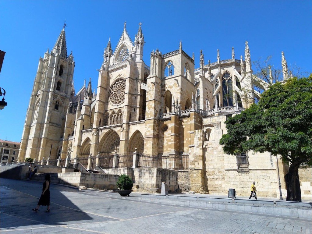
With the best part of a day and a half to explore and enjoy this iconic Pilgrimage city, there are a variety of options to suit all interests.Catedral de Santa Maria de Leon “ Step inside this Gothic gem into a Cezanne – like swirl of saturated colours coming through the stained glass” BB. Let’s hope the sun is shining.
“León’s 13th-century cathedral, with its soaring towers, flying buttresses and breathtaking interior, is the city’s spiritual heart. Whether spotlit by night or bathed in glorious northern sunshine, the cathedral, arguably Spain’s premier Gothic masterpiece, exudes a glorious, almost luminous quality. The show-stopping facade has a radiant rose window, three richly sculpted doorways and two muscular towers. The main entrance is lorded over by a scene of the Last Supper, while an extraordinary gallery of vidrieras (stained-glass windows) awaits inside.” WANDERLOG.COM
Specialty Museum – The Sierra-Pambley Museum is dedicated to the Leonese bourgeois elite of the 19th century and their lifestyle. The museum features original furnishings and fittings, such as patterned wallpaper, luxurious carpets and gilt-edged mirrors. The collection also includes paintings, sculptures, objets d’art and manuscripts.Museo Catedralicio Diocesano de León is a small but very interesting museum inside the Leon Cathedral. It has a great collection of religious art, including paintings, sculptures, and stained glass. The cloisters are also worth exploring, as are the royal tombs in the crypt. You can visit the Cloister and at the same time you can see different works. There is even a little game inside investigation. You can also see the statues that should be on the façade of the cathedral but for one reason or another they are there and not on the façade. The good thing is that it is next to the cathedral and if you buy the joint ticket it will be cheaper. It is a mandatory visit if you pass through Leon. GOOGLE TRANSLATIONFarmacia Merino, Dra. María José Alonso Núñez (Translated by Google) You walk past it without noticing it, and yet this pharmacy is a work of art from 1827. You can go inside to admire this wooden establishment, of course by asking the pharmacists for permission. There is no word to write this work…..Compeed,Ibruprofen anyone?El Escribano (Translated by Google) El Escribano is the most beautiful and interesting store in León. It is entering medieval Spain at the hands of Antonio Suárez Gordón. Parque Del Cid It’s old full of trees, cozy, cool and shadowy in the scorching summer evenings, right in the centre of town, surrounded by nice bars where you can have a quick bite. I’d say go and enjoy it.
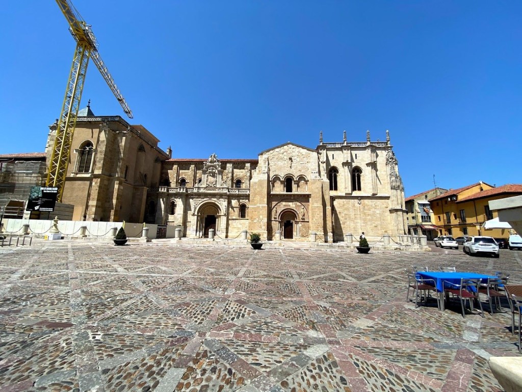
Daniel Alonso — Google reviewPanteón Real Attached to the Real Basílica de San Isidoro, the stunning Panteón Real houses royal sarcophagi, which rest with quiet dignity beneath a canopy of some of the finest Romanesque frescos in Spain. Colourful motifs of biblical scenes drench the vaults and arches of this extraordinary hall, held aloft by marble columns with intricately carved capitals. The pantheon also houses a small museum where you can admire the shrine of San Isidoro, a mummified finger(!) of the saint and other treasures.Basílica de San Isidoro Even older than León’s cathedral, the Real Basílica de San Isidoro provides a stunning Romanesque counterpoint to the former’s Gothic strains. Fernando I and Doña Sancha founded the church in 1063 to house the remains of the saint, as well as the remains of themselves and 21 other early Leónese and Castilian monarchs. Sadly, Napoleon’s troops sacked San Isidoro in the early 19th century, but there’s still plenty to catch the eye.Museo de San Isidoro Incredible place in a beautiful city. The staff are so helpful and pleasant to talk to. They obviously take great pride in the place and want to share it’s history with visitors. They offer information in English for visitors to read .
For the evenings’ entertainment and delectation there is only one destination – The Barrio Húmedo is located in the Spanish city of León and is part of its Old Town. The name roughly translates as the ‘Wet District’, so called because of the number of bars and pubs located in the area. The Barrio Húmedo is a circular area in the centre of the city, running from Las Cercas street, up to Calle Ancha and across from La Rua to Caño Badillo street. At its centre sits the lively Plaza de San Martín,
I could not resist the temptation to include two places renowned for their food and drink, just to give a flavour of what to expect.
El Rebote
If you like croquetas (deep-fried croquettes), then you’ll love El Rebote, as it’s famous for them. Instead of regular croqueta flavours such as ham or mushroom, they have innovative varieties such as pizza, beef or even jalapeño chili pepper.
This cute little bar offers a limited number of tapas options, which are all equally tasty. Try the traditional Leonese sopa de ajo (garlic soup). Thick and fragrant, it’s made from crusty bread and roasted garlic.
San Martin del Camino, at the end of the next day’s saunter will come as a complete contrast to Leon with less than 400 inhabitants! “ Leaving Leon….you will cross the bridge over the Bernesga river , and pass a small tree- covered park,where hens and roosters roam. The Camino then continues west. This is perhaps one of the road’s ugliest,most industrial stretches, though the people along it are very nice. If you wish to skip the 7.7 KM of walking on pavement, the bus…with “ Virgen del Camino” noted on its digital sign,stops at the corner where Avenida de la Magdalena opens up after the first traffic roundabout,just after passing the park ( a hardware store, Ferreteria El Crucero, is across the street). You’ll see a small sign on the sidewalk and a large white BUS painted on the asphalt. Buses run every half hour. The bus drops you off on the Camino in La Virgen del Camino”. BB Useful and very detailed information
“La Virgen del Camino is named for the miraculous sighting of the Virgen by a local shepherd. His vision has been translated into sculptures several times by artists…the sculptures are stunning and bear a resemblance to La Piedad by Michelangelo, with the exception that Jesus is facing downwards.
“ When you get to the Basilica de la Virgen del Camino you will cross the busy road and continue on a small access road. In 300 metres you are presented with a choice between two routes . The painting of yellow arrows here is confusing, and there is zero official signage to indicate your options.” WP SR is more forthright, in his opinion it is the result of “ Disgraceful Competition” . The numerous signs have been painted by the owners of local businesses! WP recommends taking THE SCENIC ROUTE “ and it adds <3KM to your journey. It is considerably more pleasant and there are now plenty of services and albergues along the way “ . However, a look at the map shows that this route does not go through San Martin, our destination, but bypasses it by some distance . It would seem we should take the original historical path with the N 120 on the right. DECISIONS,DECISIONS….
JB’ s maps indicate a cafe/ bar in Valverde Casa Camino and BB describes two options further on in Villadongos del Paramo,” just before exiting town,there’s a good bakery and general store Hermanos Garcia to your right that sells provisions , including fresh baked goods,fresh fruits and vegetables,olives,cheeses and cold cuts…”
“ Villadangos del Paramo is known as the site where Queen Urraca of Leon and Castile fought a battles against her husband,Alfonso I of Aragon, in 1111” BB It’s a complicated story but well worth researching . “ Every August the the town people stage a re- creation of the famous battle called La Mantanza )
Not sure if the Covid masks are original!
BB tells us that we’ll “ next cross over the irrigation canal, Canal de Villadongos, followed by a wild wooded park ( you may ) get a glimpse a lot of bird life , including hawks, for nearly 2 kilometres before returning to run parallel with N 120, crossing to the left side of the road”.
SAN MARTIN del CAMINO “ is a quiet farming village …Nothing remains of the original 13 th century pilgrim town or the 17 th century hospice that stood right on the main street, calle real. The church is from 1963, though the bell tower survives from the 1600s” BB
Storks’ nest
Our “ digs” for this evening are in Albergue La Huela
Sharon E5/5a month ago on Google Excellent! Very modern, spacious, organized and clean. Great service, great food. In the summer take advantage of the pool 🙂 This is the place to stay after Leon. Perfect distance. Clean and comfortable rooms. Alejandro was very helpful from the moment a book it. Staff is friendly and will welcome you warmly for sure.
“Thou shield of that faith which in Spain we revere
Thou Scourge of each foeman who dares to draw near
Whom the Son of the God whom the elements tames,
Called Child of the Thunder, Immortal Saint James!”
– – – – – – – – – – – – – – – –
~ Pilgrims’ hymn, translated by George Burrows
Modern day protectors on the Camino – The Guardia Civil – what a cultural difference from my first encounters with them in the 70s.
NOTE THE SHELLORIGINAL GUARDIA CIVIL MOTIF
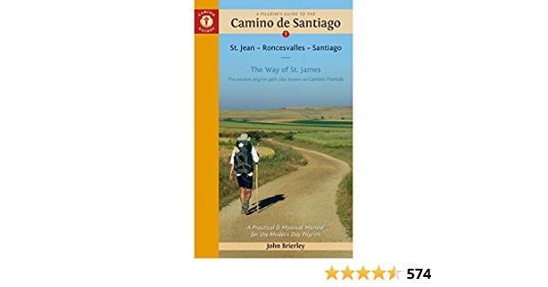
I thought I should preface today ( I’m writing this on Maundy Thursday ) by reminding us of the four principal sources I have used: CAMINO DE SANTIAGO – Sergi Ramos – SR in the text. A WISE PILGRIM GUIDE TO THE CAMINO FRANCES – WP in the text. CAMINO DE SANTIAGO , A PILGRIM’S GUIDE – John Brierley – JB. CAMINO DE SANTIAGO -MOON – Beebe Bahrami – BB in the text .
This would appear to be a relatively straightforward saunter and SR interestingly,gives it most attention. “ …it is a testing one …the towns along the stage are far apart,although all of them,with the exception of Villamoros de Mansilla, have at least a bar , restaurant and grocery store. It is necessary , however, to carry sufficient water,above all for the first section.” WELL NOTHING WE WOULDN’T DO ANYWAY !
“Much of the way between here and Puente de Villarente is adjacent to the road. “WP
Just a little further on is the Archaeological site of Lancia – “ a detour to the right …the partially excavated ruins of the Roman settlement of Lancia “BB
After 6 KM or so “ Villarente shaded area down by the river ( The first building( left) was a medieval pilgrim hospital which operated a donkey ambulance service for sick pilgrims to Leon ). There are several cafes to choose from here.
“ The river here once posted a serious threat to pilgrims when waters ran high and as a result it became home to several pilgrim hospices”WP
“ As you are leaving Puente behind you,keep an eye out for arrows pointing you along a trail to your right hand side ,and up a small hill towards Arcahueja. It is fairly well marked but is along a service road that is often lined with parked trucks and the way might be obscured “ WP
Next up is Arcahueja,” The last chance to take a rest in the relative quiet before we hit the city traffic.150 metres off route,( left) is the welcoming bar La Torre”. JB
It is also an Albergue.As traditional as it gets…Thank goodness
Puente Castro is the last notable place before entering Leon. ( The modern buildings here disguise the fact that this was an influential Jewish district in the XIIth c and site of a former Roman settlement “ JB
We the shall continue through the “ Leon suburbs up the wide Alcarde Miguel Castano ,eventually arriving at Av. Del Europa and then into Plaza de SantaAna…here we can calm frayed nerves “( speak for yourself ) JB. Then on through Puerta Moneda one of the original gateways to the medieval city ( note the vast city walls as you pass) JBPUERTA MONEDA
And the digs for this night,and our rest day ( 2 nights in all ) is rated 9. on Booking.com HOSPEDERIA MONASTICA PAX . It’ ll have to do….
In the old part of town. We shall probably take ourselves off to the BARRIO HUMEDO “A district made to delight the senses, the Barrio Húmedo is home to the essence of Leon. The weight of tradition can be felt in the old shop fronts, in the web of streets whose names are a testimony to the medieval guilds who worked there, and in the infinite number of bars and restaurants that have given the district its name. The local custom of tapas (small snacks served with every drink) here takes on almost religious dimensions. The Barrio Húmedo is a place not to be missed. The history of Leon, a very human city, full of culture and made for walking, is encapsulated in the Calle Ancha, one of the most beautiful streets in the city. A testimony to local hard work and talent, seen in the 19th century buildings that still do business there.” Quoted from leon.es.
The literal translation means “ damp quarter’ – say no more!APROVECHE !
It is a metaphor for the Road of Life. Each day the Camino gives us something new: a new experience, a new challenge, a new blister, a new joy, a new sorrow, a new achievement, a new defeat, a new friend. Walking the Camino affords us the time and opportunity to see, understand and accept what we have encountered both on that day and on our entire Road of Life.
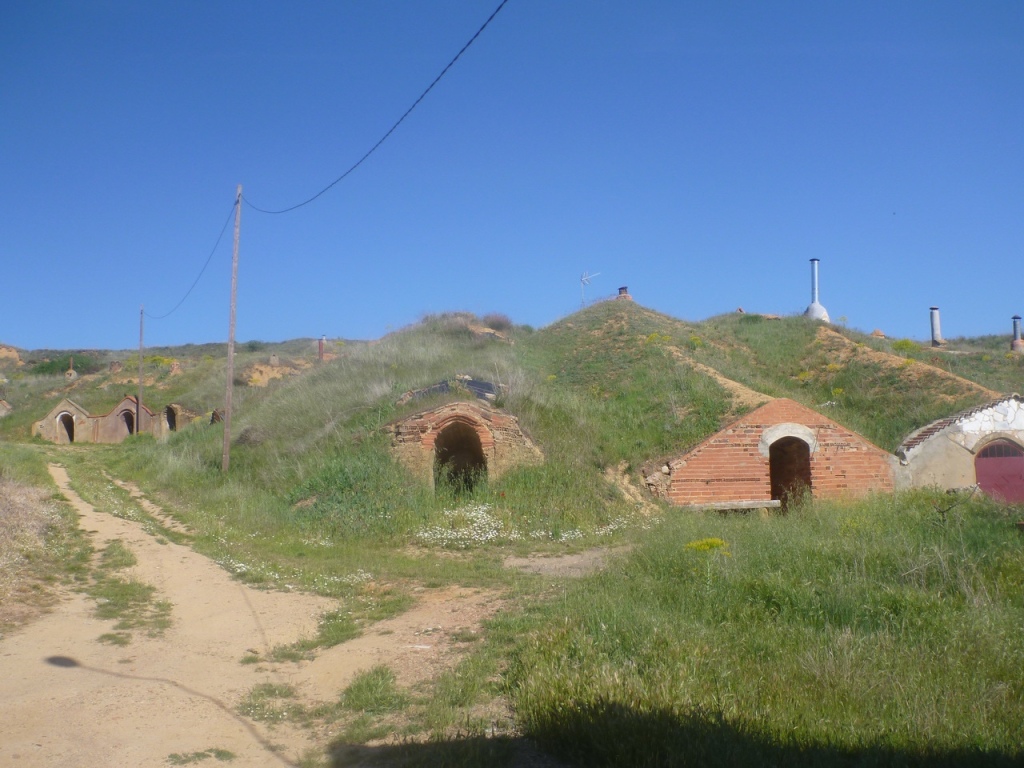
We had better take plenty of water on this stage. The advice is:- “ brace yourself for what is the second longest stretch of the Way without a town or village. You will spend almost three hours on a plain…the track is in good condition…About an hour after starting out you come to a picnic and rest area”SRAfter the area de Descanso the Camino rejoins the Calzada Romana at Reliegos. “ The modern village of Reliegos ,a former Roman village that was settled in the 10 th century, has few vestiges of its past ( though you can see many wonderful private family bodegas tucked into the hillsides like Hobbit holes…BB“If more of us valued food and cheer and song above hoarded gold, it would be a merrier world.” The Hobbit.”Now they are used as warehouses or,more commonly,for family reunions and the like” SR
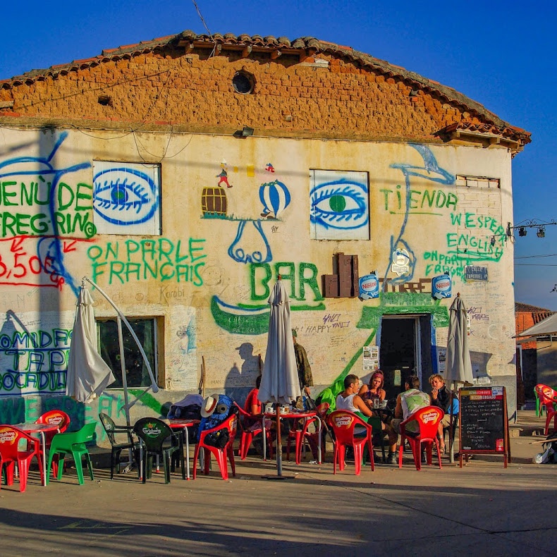
The famous „El Bar de Elvis“ in Reliegos, Spain, on the way to Santiago de Compostela
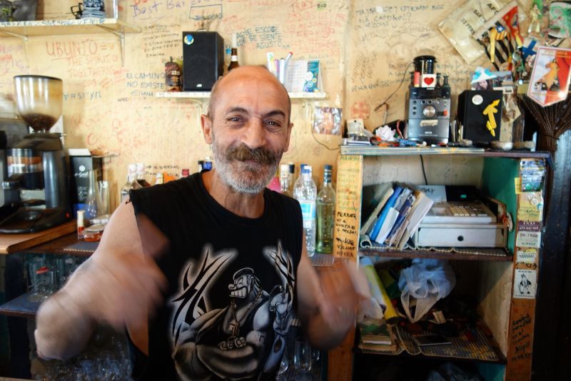
“ It was at Reliegos that the Astorga – Bordeaux Roman road and the French Way crossed. By way of complete contrast,WP informs us of this: Bar Elvis, quite possibly the most famous bar on the whole Camino,is located in the main square. The owner is quite a character…”
If you ever walk the Camino de Santiago, you should not miss a bar! This bar is definitely the strangest bar I’ve seen on the Camino. It reminds me of a movie, but I do not remember which one it was? The graffiti-covered Bar de Elvis in Reliegos comes after a long sweaty hike on the Meseta. I had a great time in this bar, crazy rock music and oldies, good food, fab tapas, the best “boccadillos”, excellent wine and of course a wonderful company. The Elvis Bar, the meeting place for tired pilgrims 🙂
Graffiti invited apparently…on the walls,not the boss!
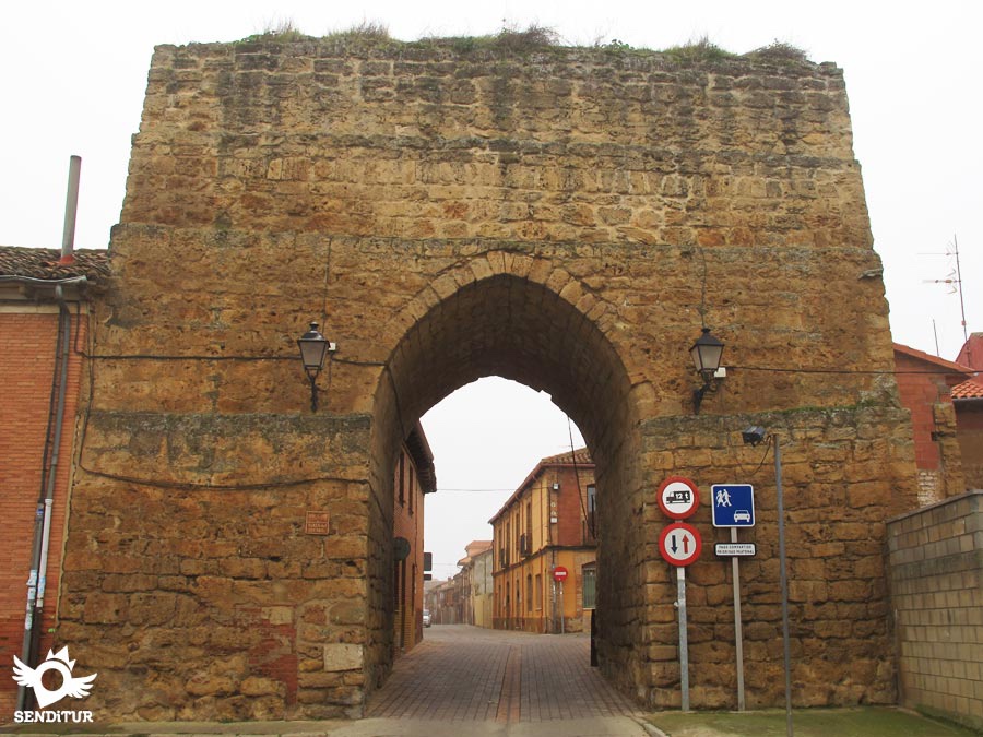
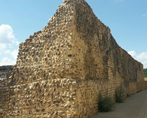
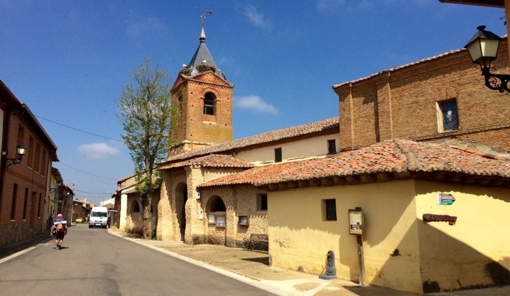
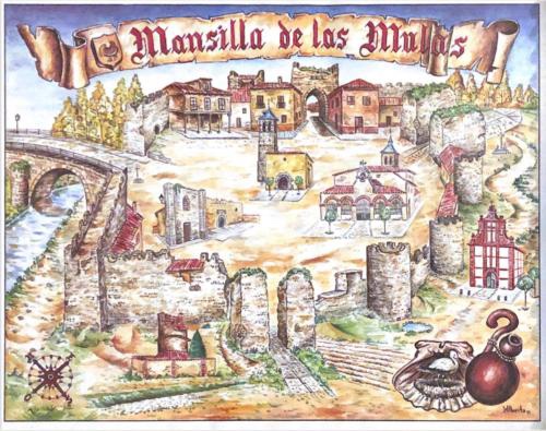
“ From the moment you leave Reliegos the outline of Mansilla May be seen. This is encouraging.” SR Just over 6 KM remain. “ You enter Mansilla de las Mulas through one of the surviving gates of its old wall of adobe and boulders,which dates from the twelfth century.” SR
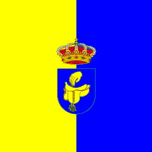
“ …it’s dense town walls – 3 metres thick in some places – enclosing the medieval centre….In the Middle Ages, Mansilla’s economy, in addition to pilgrim commerce, was as a mule market ( las Mulas ), which supplied the the region with these all-important animals for labour and transport “ RBThe town crest with saddle.
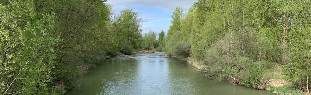
“ Today, the old town is full of picturesque plazas…pedestrian promenades and riverside paths along the Esla river” BB And if you fancy a dip “ There is a nice place for a swim in the river
The River Elsa
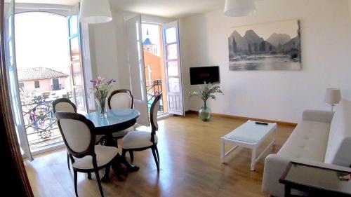
Accommodation is in Casa Bella – a whole house to ourselves.
“We were not meant to confine ourselves within classrooms, offices and apartments. Our destiny lies outdoors, where we can walk, run and move freely. Trust me, nothing rejuvenates the soul more than the satisfaction of having covered a great distance on foot, under the warmth of the summer sun. If this does not bring you joy, then you urgently need to find your way back to your inner self.”RICHARD ROHR
Fine weather for the morning and a promise of rain for the afternoon. So after gathering our packed lunch – we both enjoyed these lunches everyday this week – we made for Porlock.
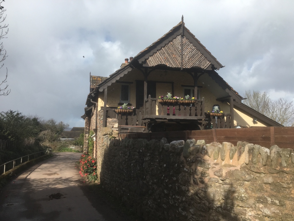
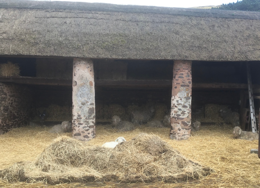
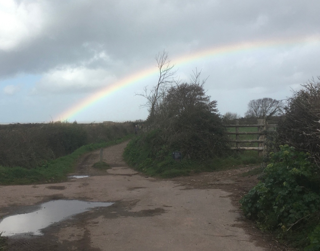
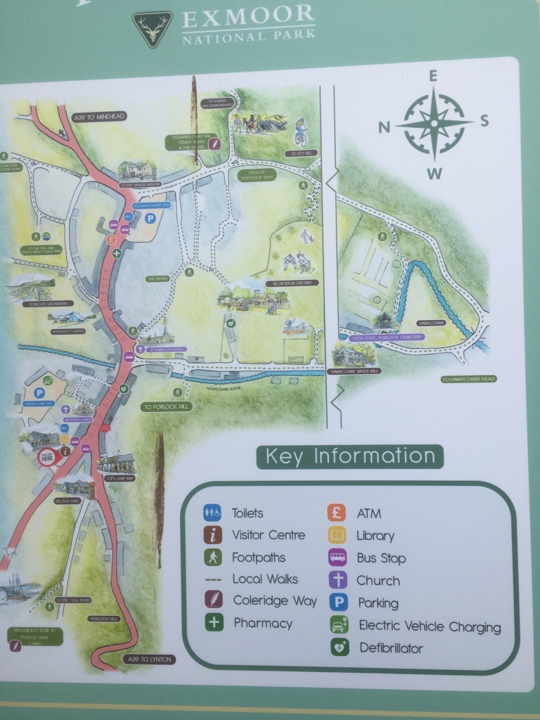
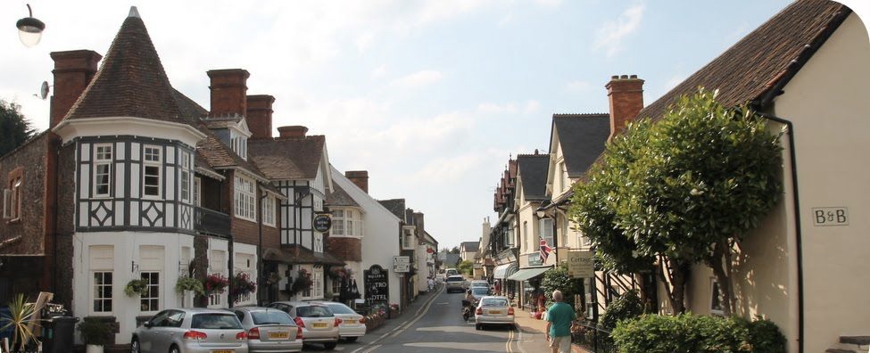
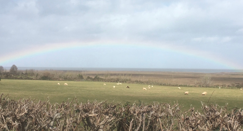
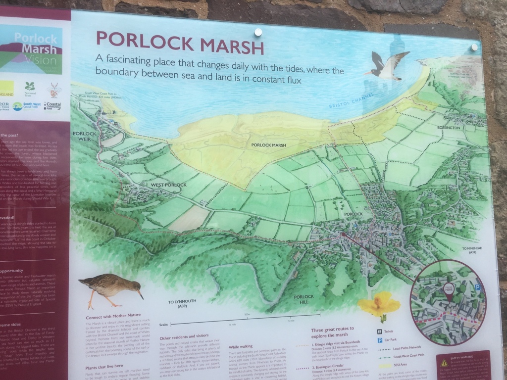
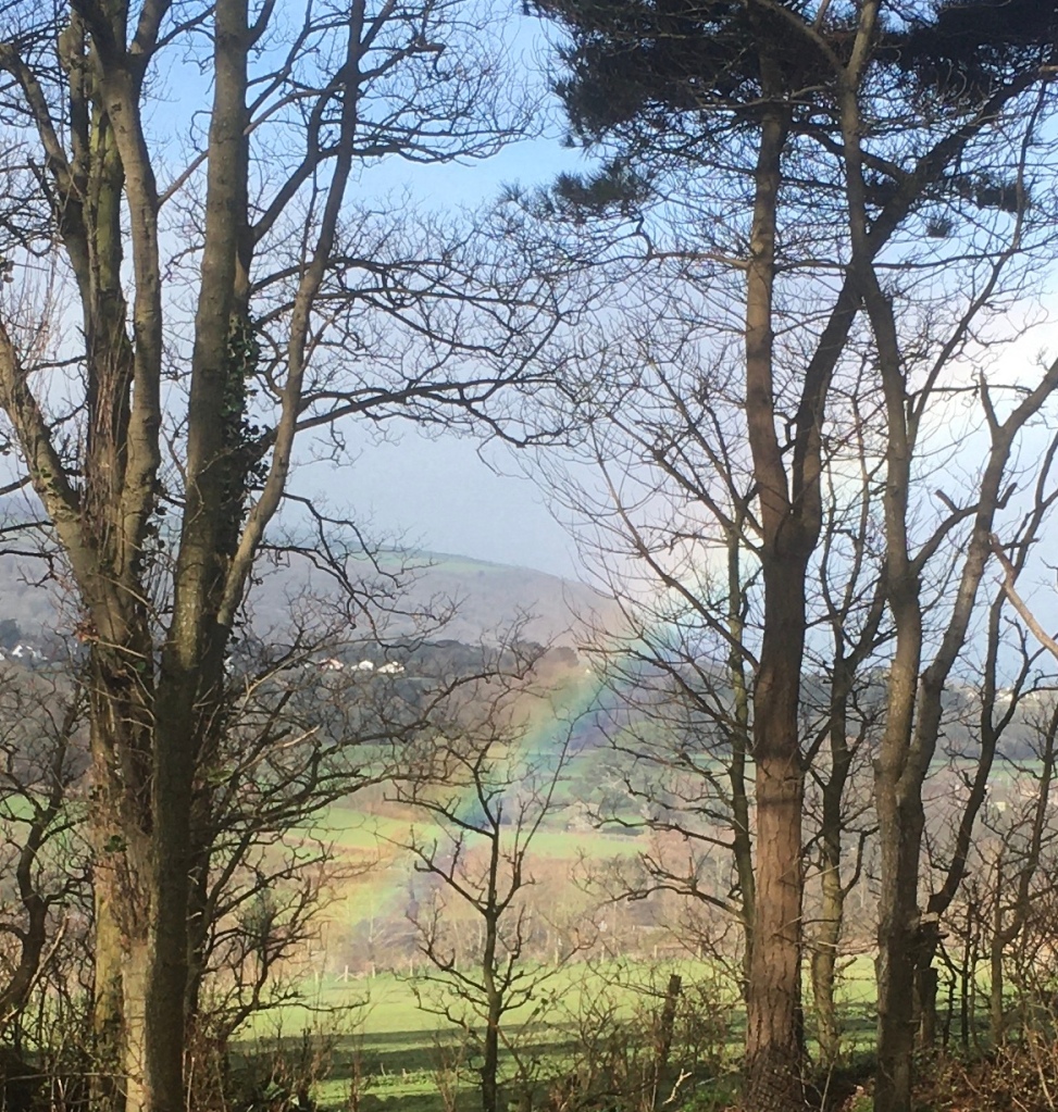
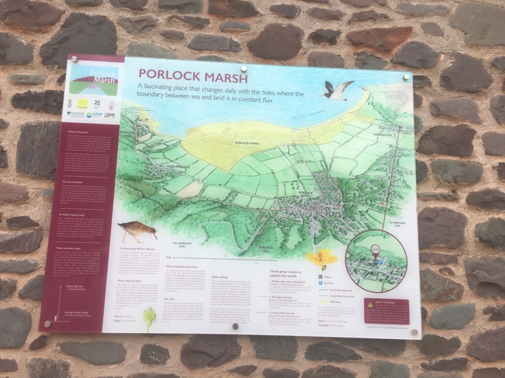
Quiet paths and lanes took us through the previously visited villages of Allerford and Bossington.Nicely situated Swiss style chalet and balcony.I stopped to admire this hedge.Peekaboo with the white sheep in the hay, but look carefully to pick out some shaggy,grey haired seniors resting under the thatched roof.Approaching Porlock a rainbow over the sea – a portent of what was to come ?A useful, easy to follow map.
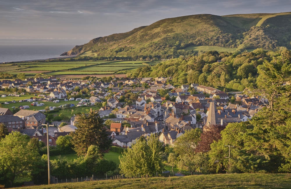
Porlock, it has to be said, is very much in Somerset and proud of the fact! The village first appeared in print in the 10th Century as Portloca from the Old English words meaning ‘Enclosure by the harbour’ and at the time of the Domesday Book in 1086 it was Portloc. Under the shelter of the infamously steep Porlock Hill, the village enjoys a micro climate that makes it significantly milder and warmer than the mighty Exmoor at its hinterland.The Saxons developed Porlock as both a port and fishery, which inevitably attracted the unwanted attention of the Vikings.
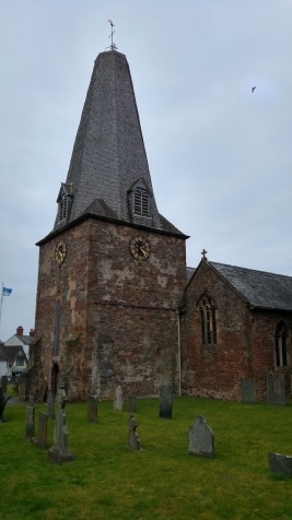
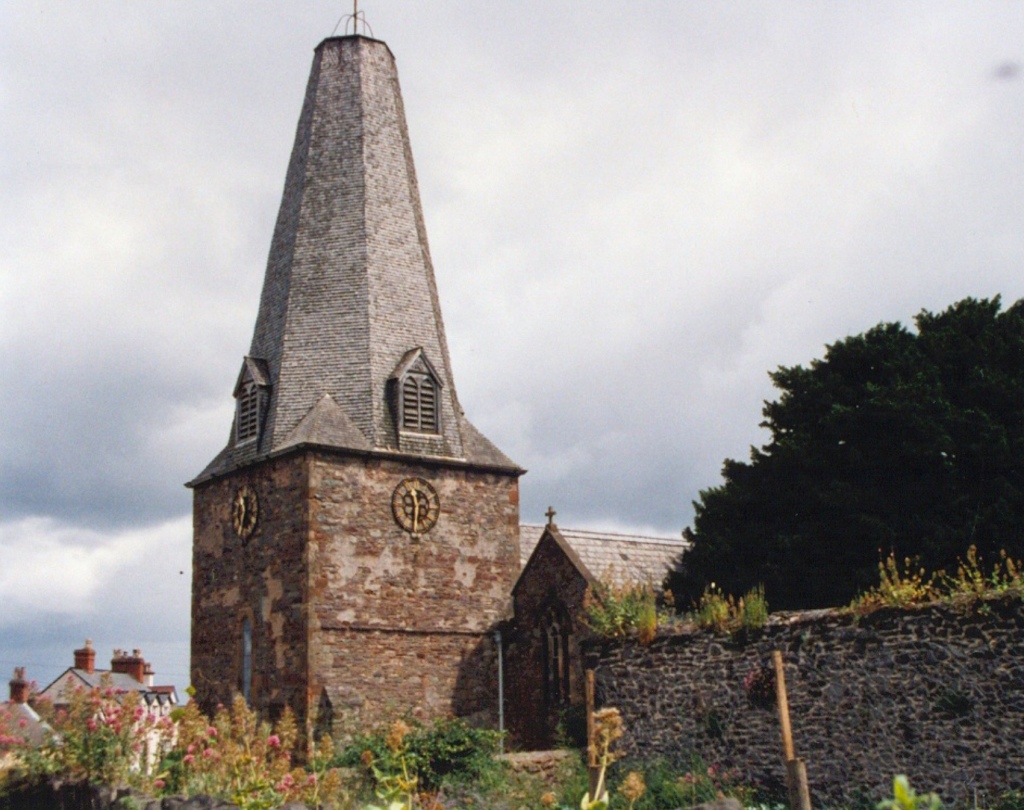
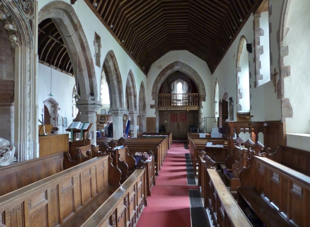
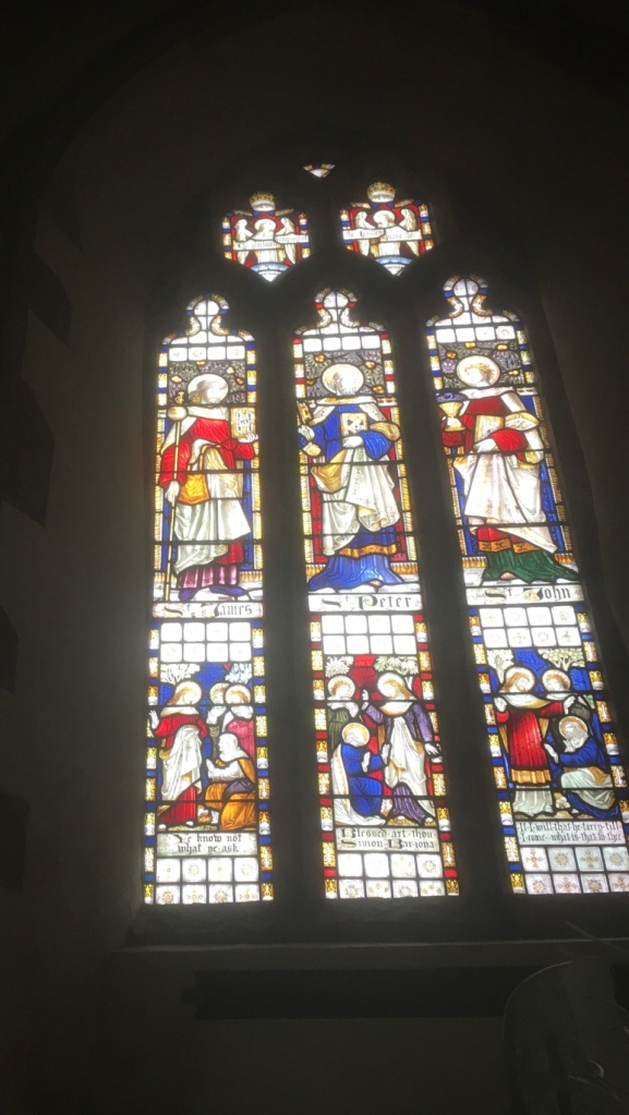
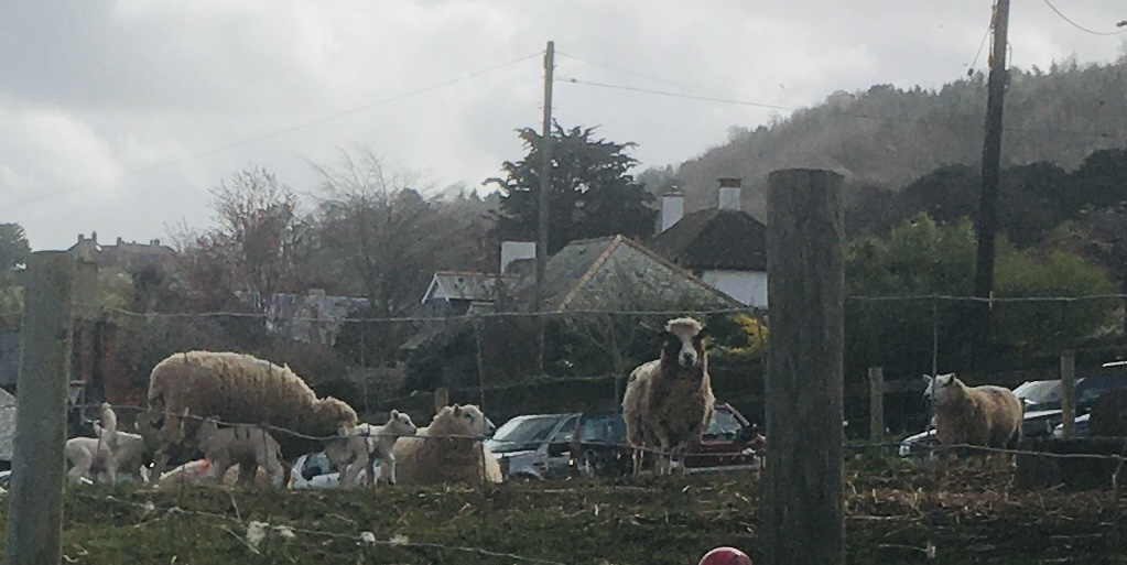
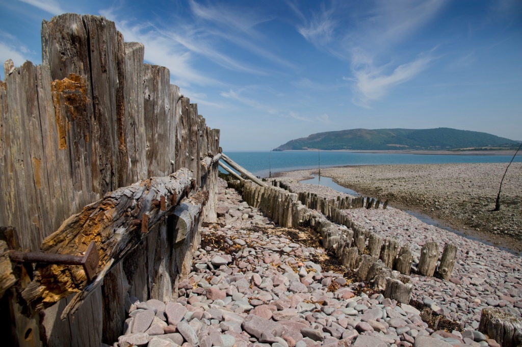
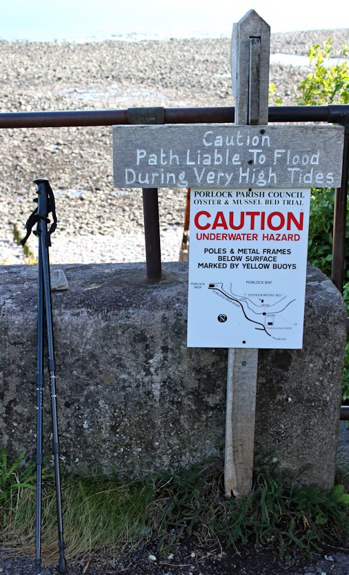
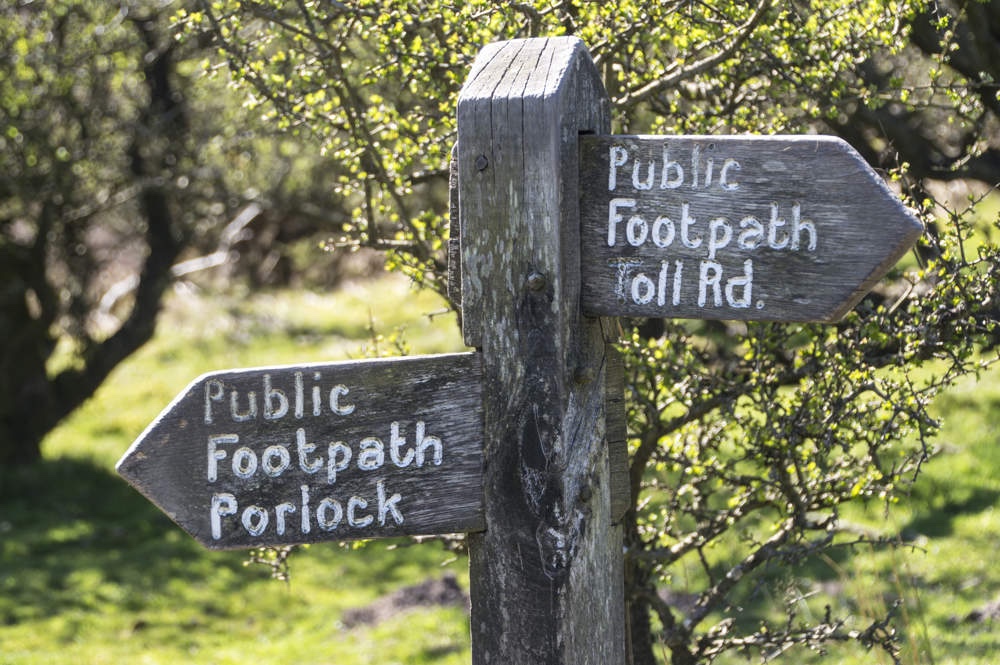
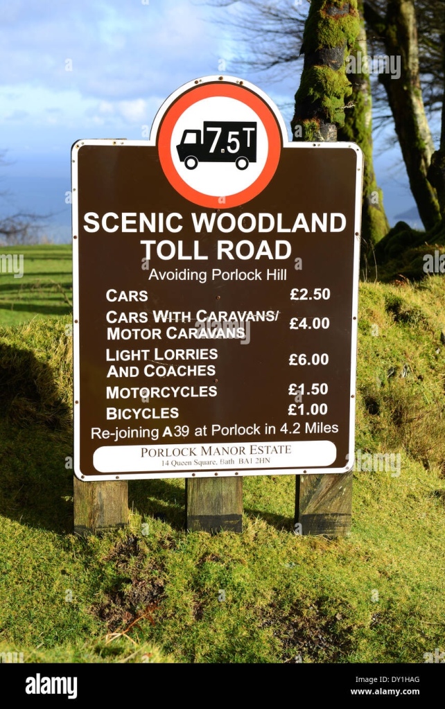
The arrival of the Normans brought the building of Porlock’s superb Parish Church with its dedication to the Celtic Saint Dubricius, a former Bishop of Llandaff and, legend has it, the man who crowned King Arthur.The grade I listed Church of St Dubricius dates from the 13th century, and includes many interesting and varied architectural details from throughout it’s history, including it’s unusual spire! The Church holds regular Sunday services, and special events throughout the year including a flower festival. Rumor has it that in 1703, during a storm the top of St. Dubricius Church steeple was completely destroyed but others say there is no evidence to prove this because they claim its roof line appears flat due to an added light beacon on the building’s surface. The church includes two windows from Norman architecture with remnants dating back before 1120 and 15th Century crosses found within its yard are believed by some historians as proof for when it first opened. St Dubricius was a 6th century Celt, but did not just stick to his home country. He travelled across the land from Herefordshire all of the way down south to Exmoor in order to perform many acts of healing on those who needed it most during this time period. It is said that he became an archbishop and crowned King Arthur with him being officiant at Queen Guinevere’s wedding held later on! In the churchyard you will find a Yew tree said to be over 1000 years old. An ancient law protects yew trees dedicated to St Dubricius.A large and costly Chantry tomb for Lord Harington (d. 1417) and his widow, Elizabeth Courtenay (d. 1472) stands under one of the aisle arches, but was not thought to be its original position.The church is on the Porlock Pilgrim Trail and it was no surprise to find St James in the stained glass window,complete with staff.Porlock’s meandering high streetJust after leaving Porlock in the direction of the Weir, we came across these newborn lambs.Rainbow number two over the marsh Walking along part of the Marsh along the Coastal Path was very tricky in places because of the small boulders brought in by high tides.The harbour and much of the surrounding area is part of the Porlock Manor Estate, which has been linked to the Blathwayt family since 1686 when William Blathwayt, Secretary of State to King William III, married Mary Wynter. Porlock was one of the Somerset manors left to Mary and has since passed down the Wynter-Blathwayt line. The ancient port of Porlock Weir has existed for more than a thousand years, having been documented in the Anglo-Saxon Chronicle. Over the centuries it has played a vital part in the life of eastern Exmoor, being one of the few places along the rugged Exmoor coast capable of providing a haven for small craft. Given its isolated position within Exmoor, this sea route was also the easiest way to and from the area. In the 18th and 19th centuries the main exports were flour and corn, bark for tanning, bricks, pit-props for the Welsh coal mines and oysters to Bristol. Imports included limestone and coal from Wales, which were used to make lime in local kilns.We took the Woodland Trail,climbing up above the Marsh for a scenic walk back to Porlock.This is a rugged part of the Somerset coast and quite unspoilt by tourism- a great day’s independent saunter,if a little damp for the last five KM.
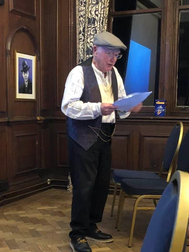
After a shower and a rest we were ready to join in our last evening’s entertainment- A Peaky Blinders / Brummagem Evening .
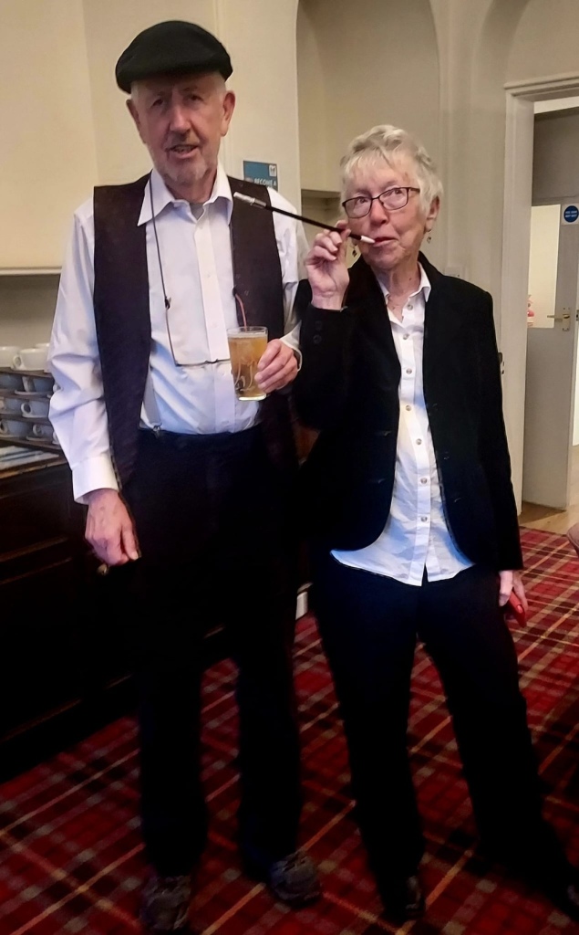
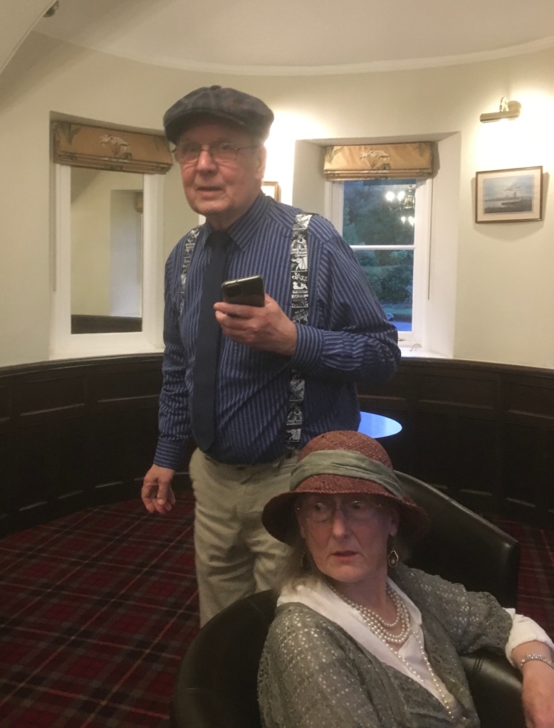
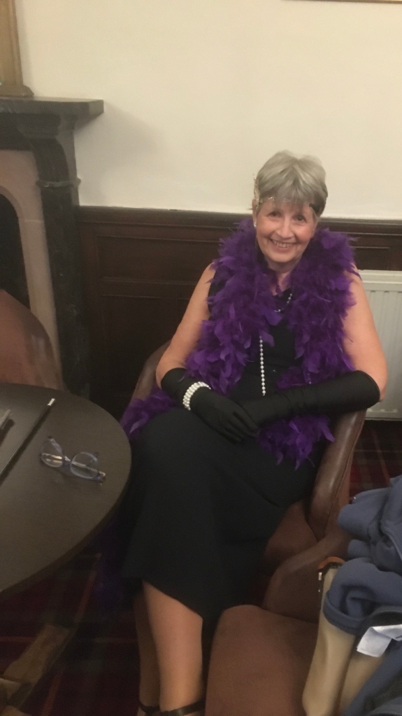
Ramblers and guests put on their best Peaky Blinders gear .“ Ooh, look at you!”Brumbeat selections- you can’t beat’em! Our four days’ Spring break at Holnicote House was thoroughly enjoyable – good company,food and drink, fine weather and great walks .
Wednesday was a “ free” day with a short walk on offer if wanted. Most people planned to visit locally and so we decided on a morning at Dunster Castle and then over to Lynton and Lynmouth. From Somerset to Devon via Porlock Hill.
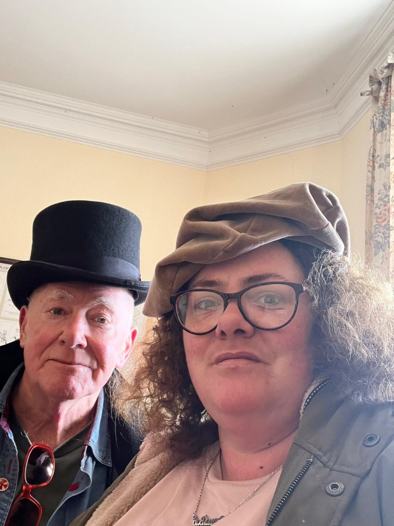
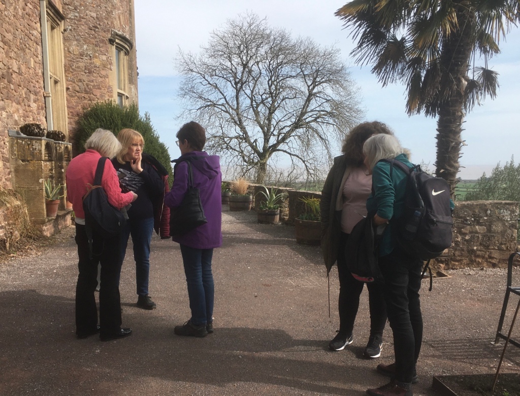
Unexpected opportunity for a “ Selfie” in DUNSTER Castle.A fine morning for the tour.
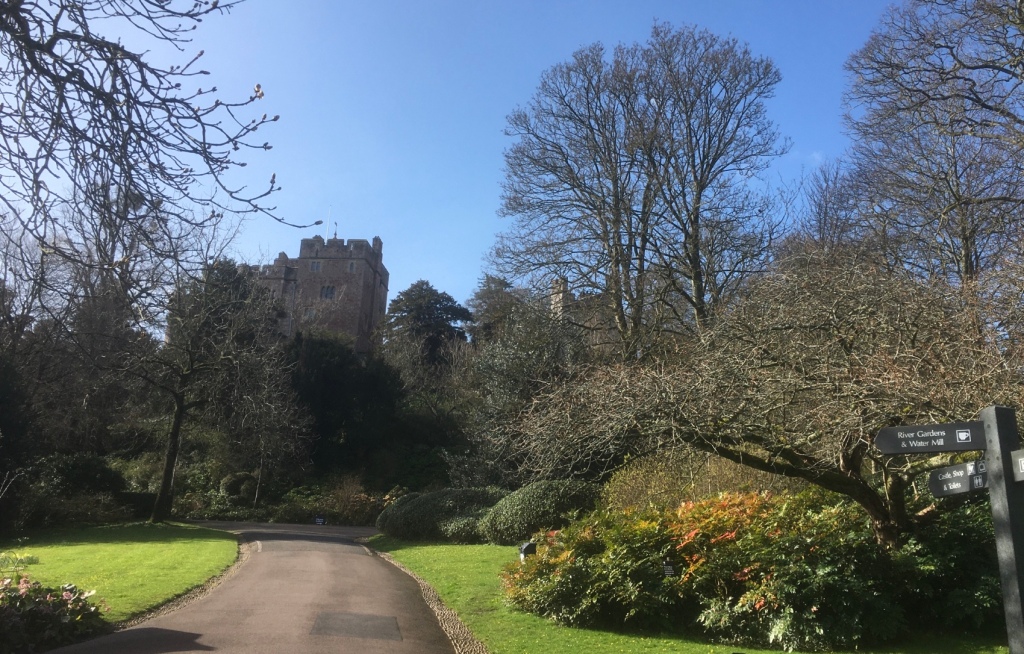
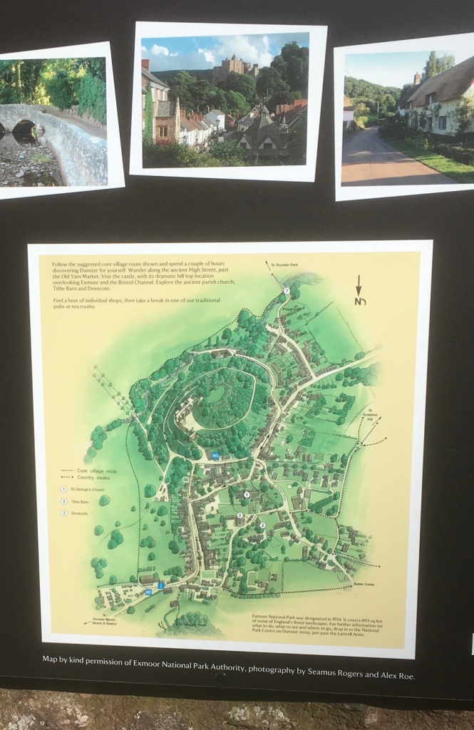
Dunster Castle: Dramatically sited on top of a tor, a castle has existed here since Norman times
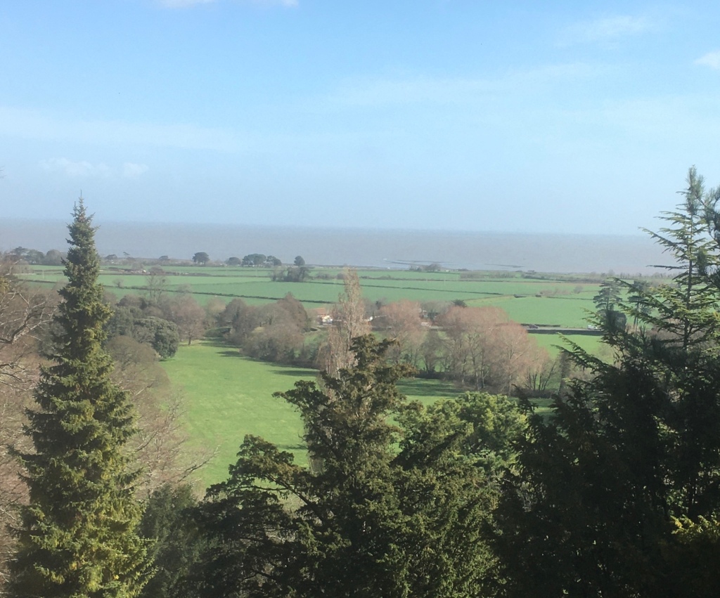
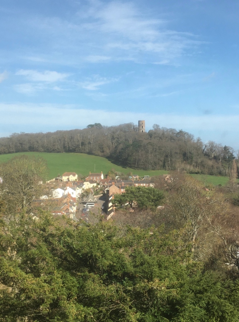
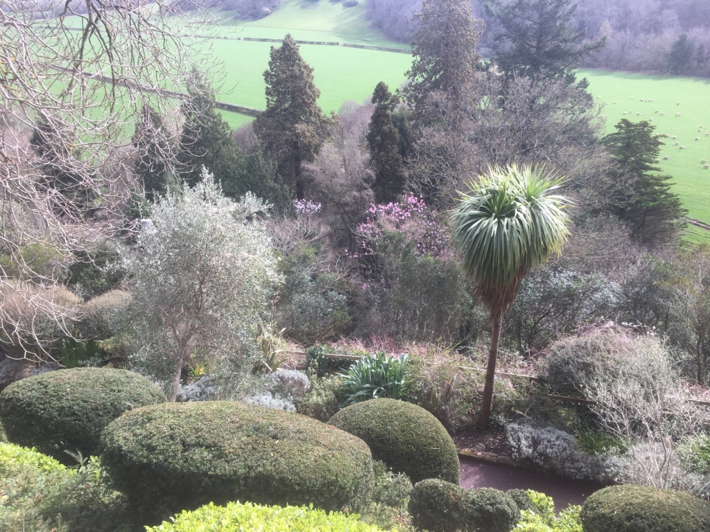
A fortress that became a family home for the Luttrells, who lived at Dunster for 600 years, the castle was extensively remodelled in the 1870s to create a Victorian country house.The castle boasts breath-taking views over Exmoor, Somerset, and the Bristol Channel.A Folly in the distance A view from the extensive gardens that surround and almost crown the castle .Olive trees thrive here.We saw a number of fellow ramblers here.Another exotic specimenAn ingeniously planned setting for sun loving plants.
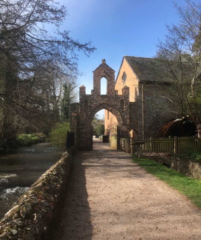
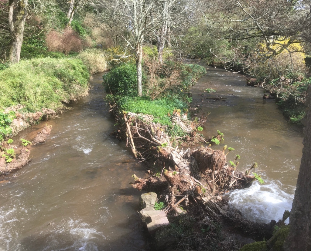
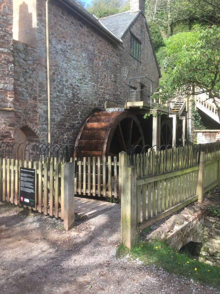
We then walked down to the Water Mill alongside the River Avill.
It’s a working mill and Hannah couldn’t resist buying a couple of bags of flour.
A very enjoyable and informative morning, followed by a coffee in the village – a bit on the twee side but pretty enough I suppose.
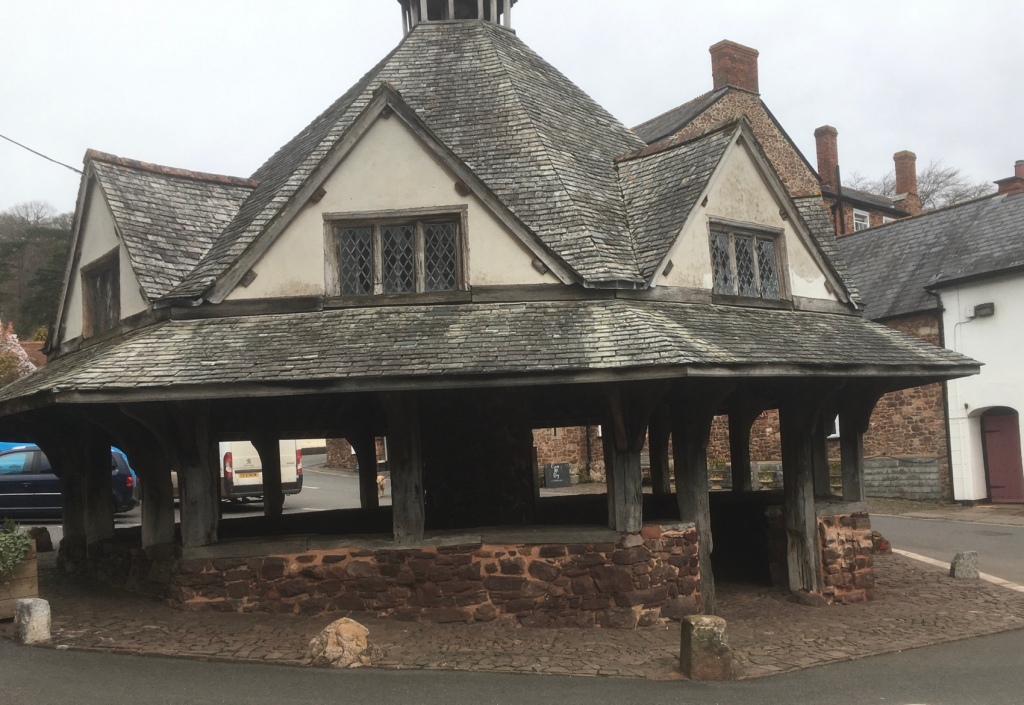
The village Yarn Market
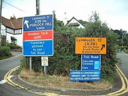
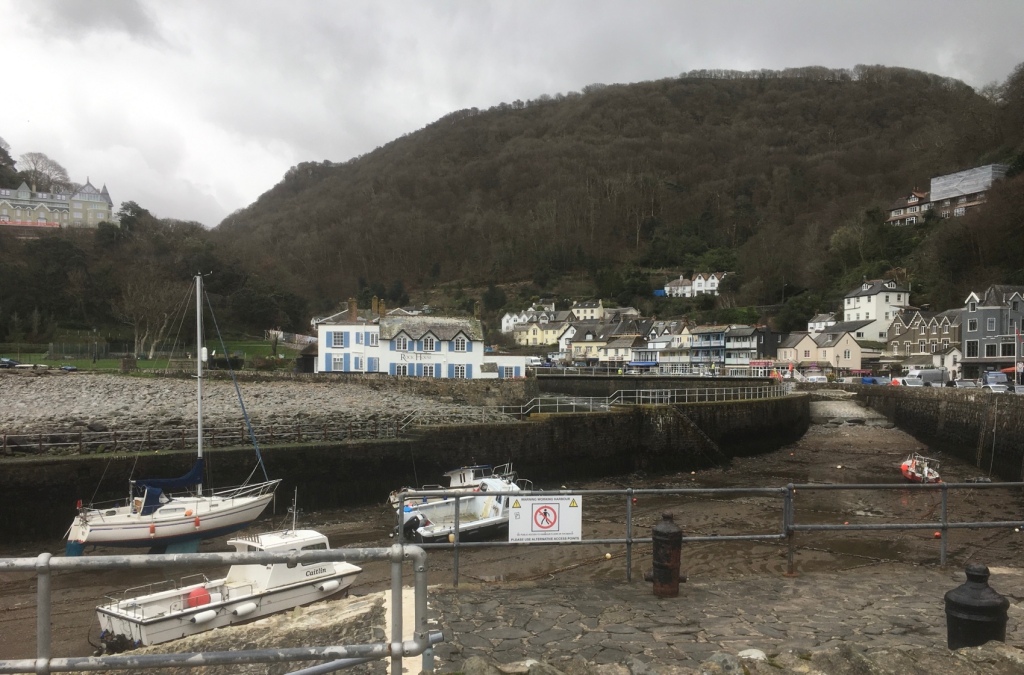
The afternoon was spent in Lynton and Lynmouth after a crawl up the infamous Porlock Hill behind a tractor towing a trailer full of sheep.
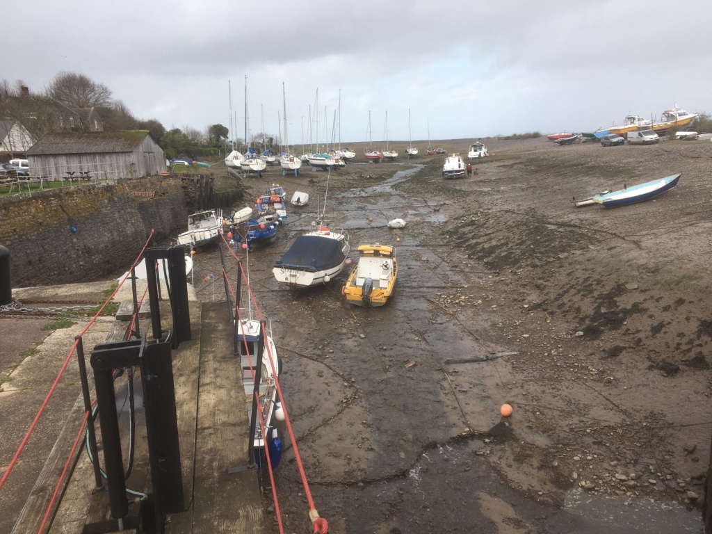
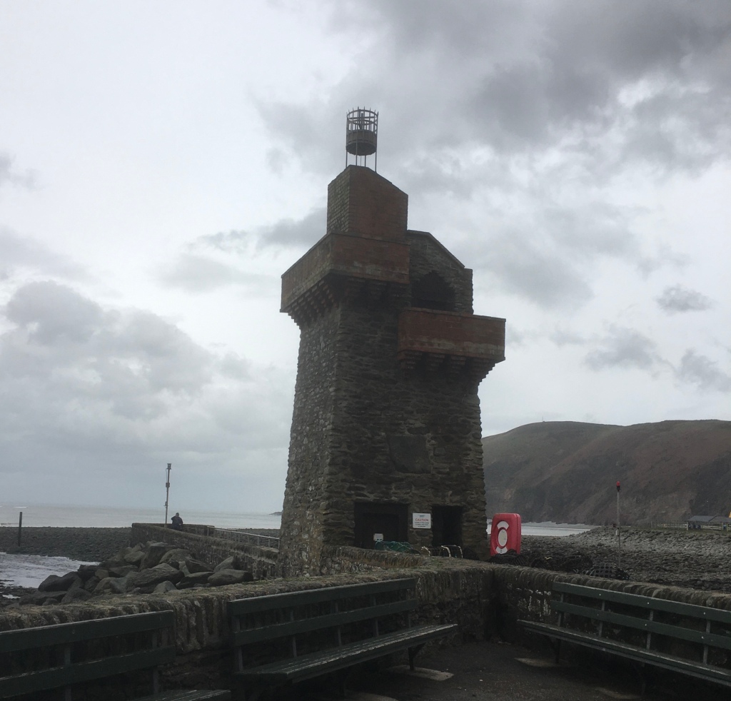
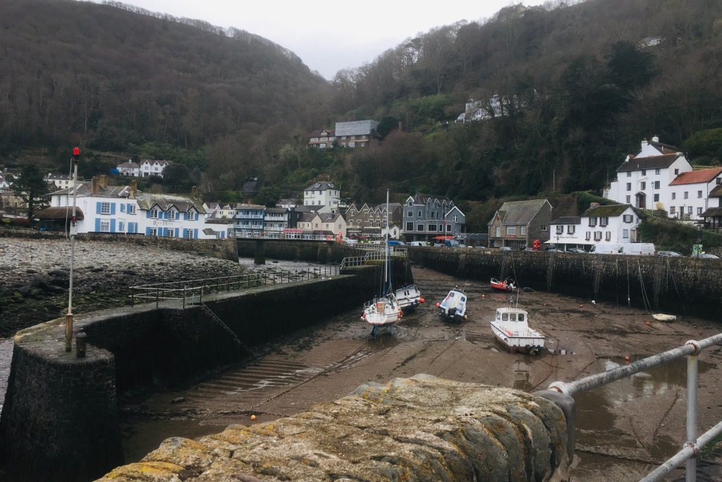
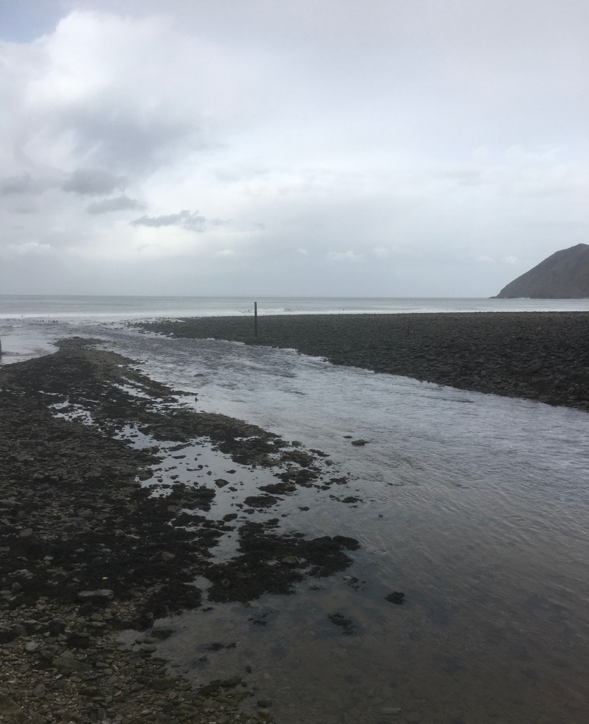
The tide was out.A watchtower.
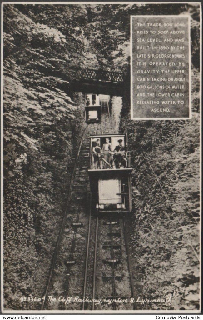
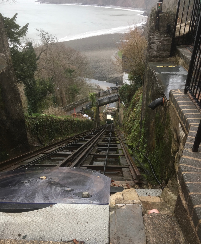
The highlight of the afternoon,albeit an expensive one,was the ride on the cliff railway – it has an interesting history. In the 19th century, the high cliffs separating Lynton from Lynmouth were a major obstacle to economic development. The twin villages mainly relied on sea transport because land travel was extremely difficult over Exmoor. Coal, lime, foodstuffs and other essentials arrived at Lynmouth in sailing vessels, but this freight had to be carried by packhorses or in horse drawn carts up the steep hill to Lynton. The cliffs also posed problems for the growing tourist industry. From the mid 1820’s holiday makers began to arrive at Lynmouth on paddle steamers from Bristol, Swansea and other Bristol Channel ports… but a daunting hill faced those who decided to walk up to Lynton. Ponies and donkeys could be hired at 6d a time, but the steep gradients severely tested the unfortunate animals. Other tourists travelled up Lynmouth hill in carriages, but the horses that pulled them had a very short working life.
The idea of a funicular was discussed for several years and eventually work commenced. Late in 1885, a major project was proposed which included the construction of a solid pier, an esplanade and ‘a lift from the said pier or promenade to Lynton’. The pier, to extend 112 yards into the sea, was intended to enable the resort to attract a bigger share of the growing steam-excursion traffic. Many of the paddle steamers had not been calling at Lynmouth where passengers had to be ferried ashore in small boats, instead visiting Ilfracombe where tourists could easily disembark at the deep-water pier. The construction of an esplanade, which survives today, was to start from a point near the Rhenish Tower and provide access to the pier. The proposed ‘lift’ would make it possible to carry up to Lynton the large numbers of people that would be landed from the steamers at the new pier.
Work began on the lift construction in 1887. It took less than three years to complete, a remarkable achievement considering that the entire excavation relied on manual labour.
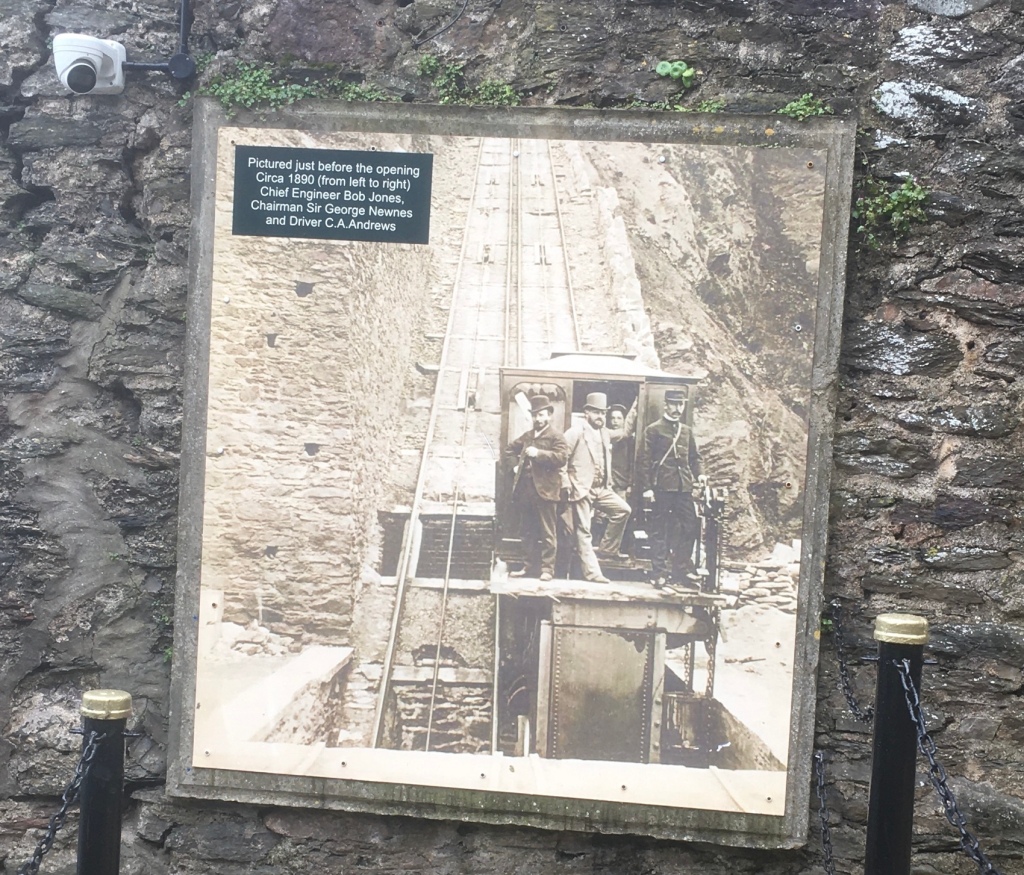
Blasting operations soon took place on the cliff. By December The North Devon Journal could report: “The excavations for the purpose of a hydraulic lift between Lynton and Lynmouth is steadily progressing. Many thousands of tons of material have been removed from the hillside”. The Cliff Railway was finally opened on Easter Monday (the 7th April) in 1890. A large crowd gathered at the Lynton station to see Mrs Jeune, Lady of the Manor of Lynton, perform the official ceremony. George Newnes conducted her to a raised dias under the wall of the reservoir from which the cistern of the car would be filled. After receiving a bouquet of flowers from Bob Jones’ little daughter, Mrs Jeune pulled a lever releasing the first car which glided forward on its first journey, while the second car simultaneously started on the upward track.
Nearly opening time.All aboard!
We then had a look round Lynton.
A good number of “art” shops up here and a decent charity outlet.
The weather was closing in as descended to Lynmouth. There had been severe flooding as described here :-
ON FRIDAY 15 AUGUST 1952, THE TINY VILLAGE OF LYNMOUTH SUFFERED WHAT COULD BE DESCRIBED AS THE WORST RIVER FLOOD IN ENGLISH HISTORY.
On the day itself, just over 9 inches (230mm) of rain fell, 6 inches (150mm) of which fell in a few short hours in the afternoon/early evening. Add in the 6 inches (150mm) of rain that had already fallen in the first two weeks of August, then it is no surprise that the top of Exmoor was unable to absorb the rainfall and was totally overwhelmed.
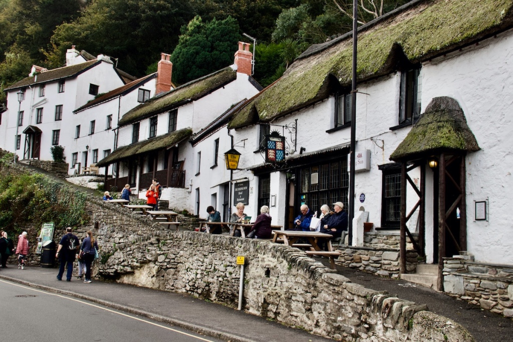
The town has recovered and there are some remaining cottages of note.
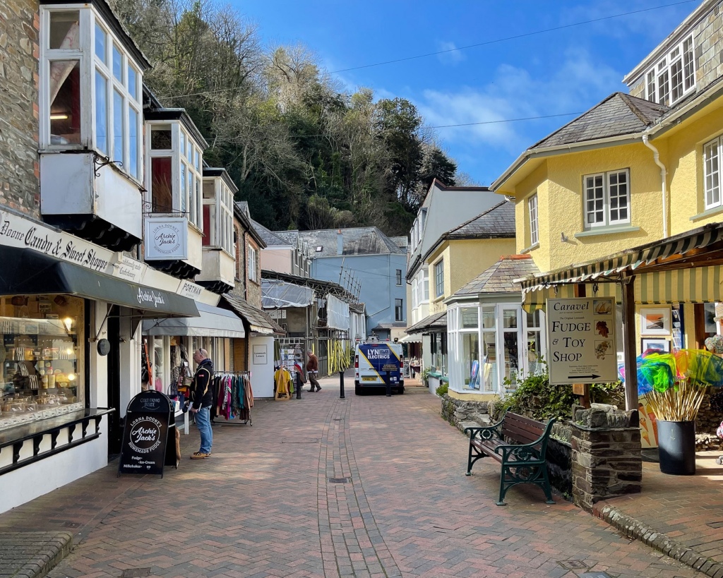
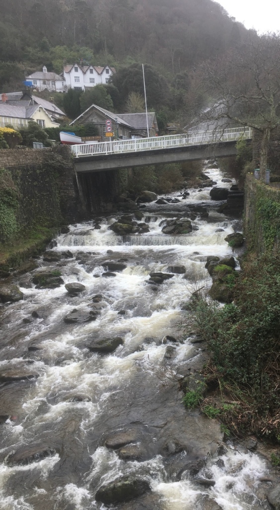
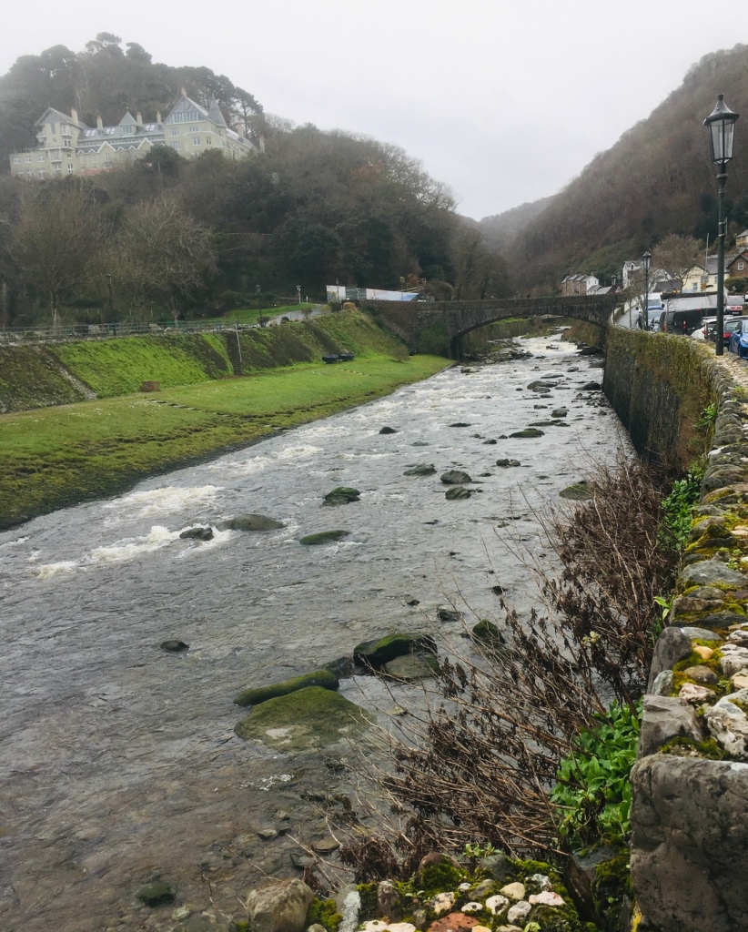
Plus some enticing restaurants We ate there on a visit pre-Covid.A pedestrianised row of shops mostly selling woollen items, a range of sweets and pottery The river is the most attractive feature – water dominates the setting of the town Tide is outLynmouth is known nationally as Little Switzerland ,with its steep hilly setting characterised by deep woodlands, river gorges and rocky walking trails. Well worth a visit even if “ Switzerland “ is a little overstated .
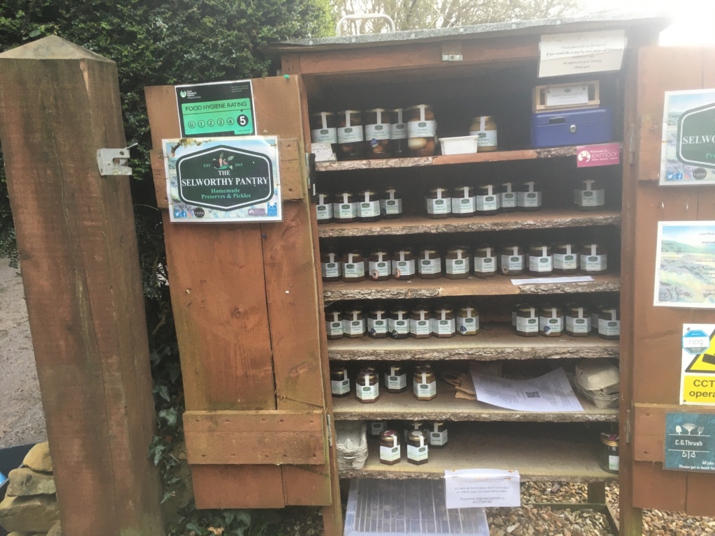
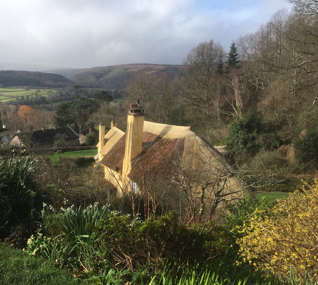
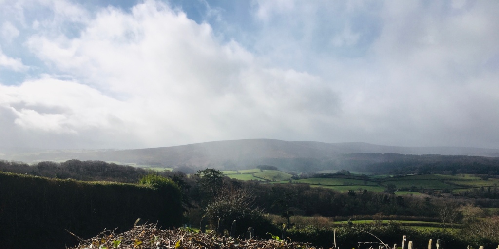
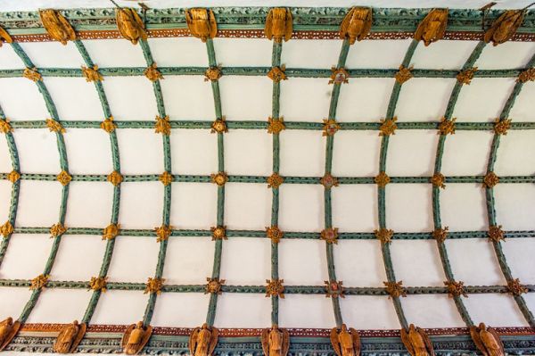
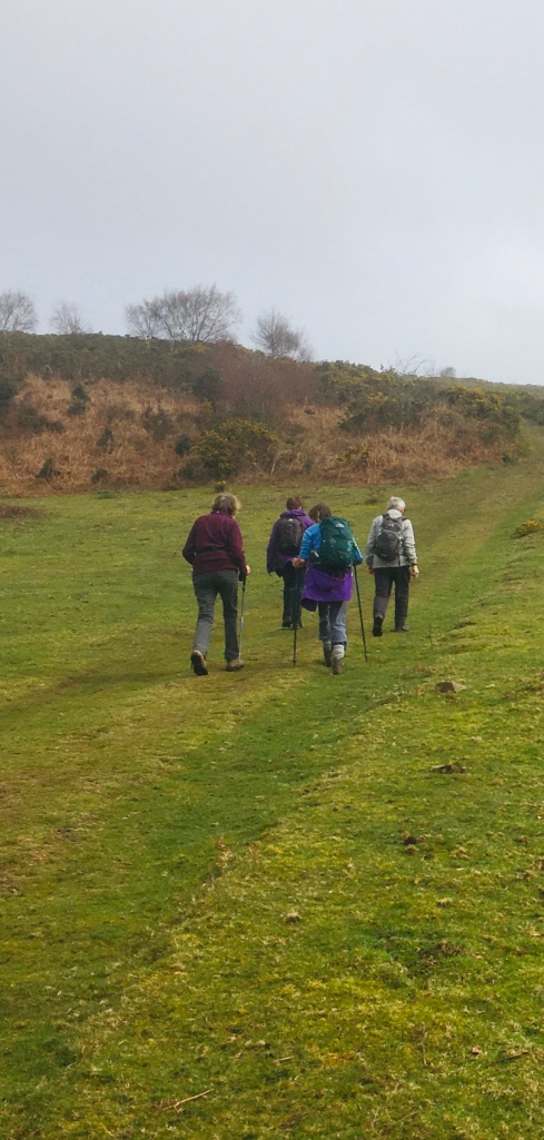
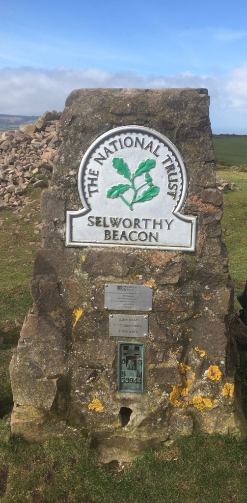
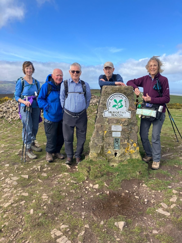
A choice of two walks today. One taking in Porlock and the other rather more strenuous walk up to Selworthy Beacon and back via picturesque villages.We were pleased to see sunshine as earlier forecasts promised rain.A light shower on the climb up to Selworthy Village and a rainbow to compensate.A typical cottage hereaboutsWith locally made produce on saleClimbing still further above the villageSelworthy is a village of picturesque thatched cottages which is part of the National Trust’s huge Holnicote Estate, which takes in over 12,000 acres of Exmoor coast and countryside. The charm of Selworthy is the wonderfully preserved thatched cottages and the historic All Saints church. The church is perched on the side of the hill, and the view from the porch out over the Vale of Porlock to the moors beyond is quite superb. Highlights in the church include the 12th century font, painted nave ceiling, and 18th century gallery.Amazing ceilingNever far away from running waterUnderfoot conditions were good and very often we enjoyed grassy pathways.Selworthy Beacon
Its elevation is 1,013 feet (309 m
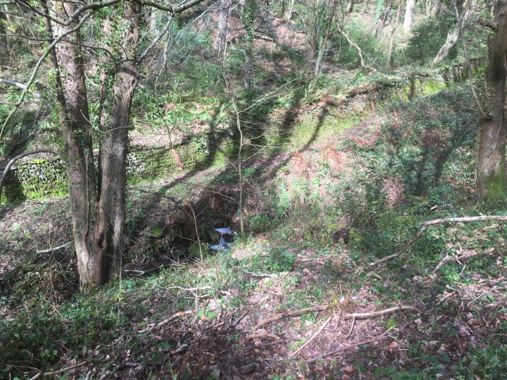
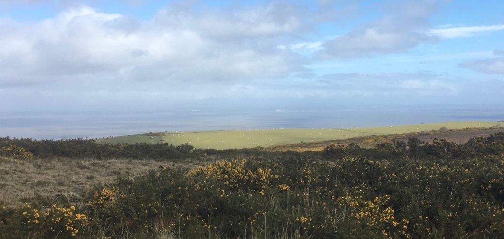
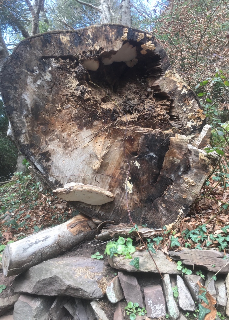
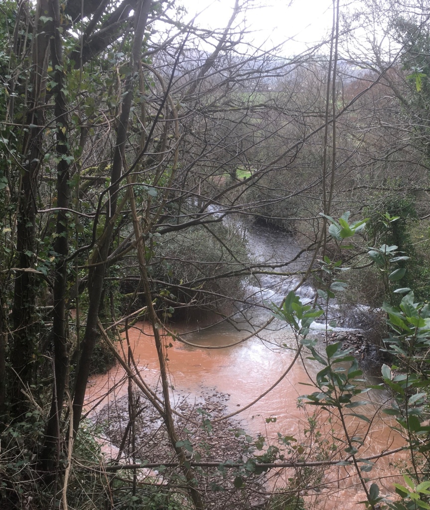
This sixteenth century Beacon was (as its name implies) the site of a beacon to warn of impending invasions.Sea viewsLooking down towards Porlock MarshPorlock to the rightThere followed a long and in some places quite tricky descent.A dramatic image of a fallen tree“Watersmeeting”! And what a contrast between the two watercourses.We eventually reached sea level in Bossington‘s National Trust car park.Bossington
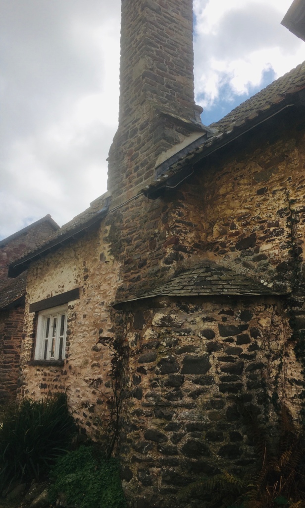
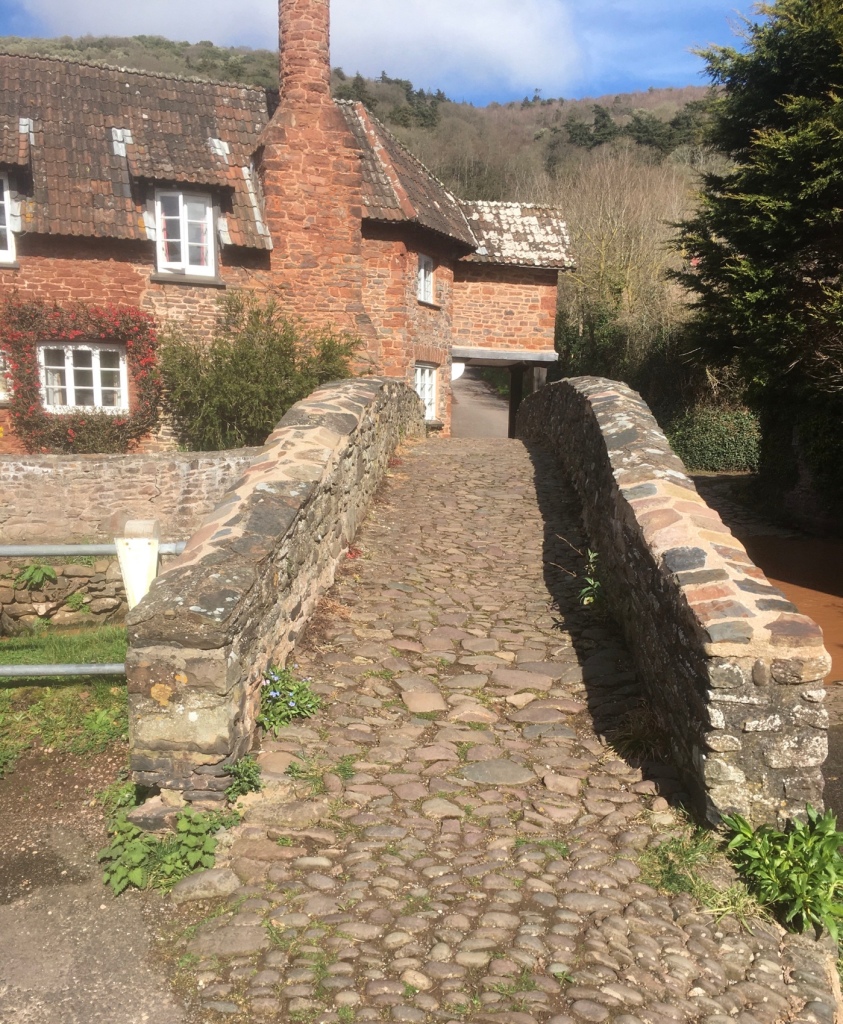
A picturesque hamlet in Selworthy parish, on the National Trust’s Holnicote Estate. Distinctive cottages with chimney stacks and bread ovens bulging from the facades line the single street.Aforesaid bread ovens.We then traversed Lynch with its GRADE II listed Chapel of Rest by passing its Mill,now a guest house which boasted of Tennis and squash courts as part of its “ exclusive” amenities – last things I could have done with! A tea room would have been good,though!Allerford is a small pretty village, located just east of Porlock, and home to the iconic and historic Pack Horse Bridge. The picturesque 15th century bridge which spans the Aller Brook is a Grade II listing structure supported on two segmented arches. The village is full of attractive period houses. Within the village is the West Somerset Rural Life Museum and Victorian Schoolroom, an attractive thatched building that served as the village’s school in the 19th century.
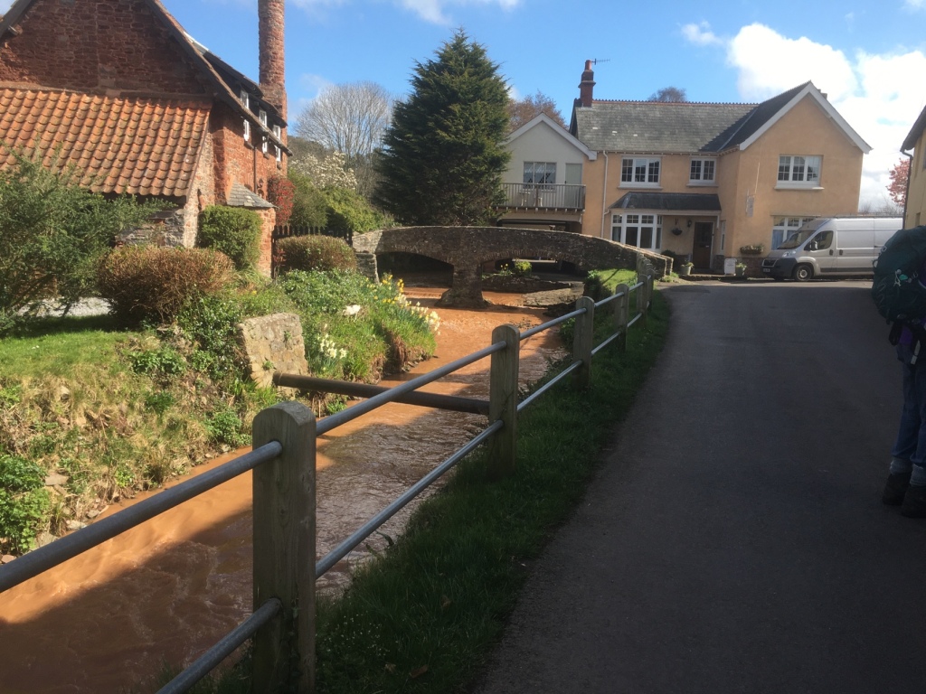
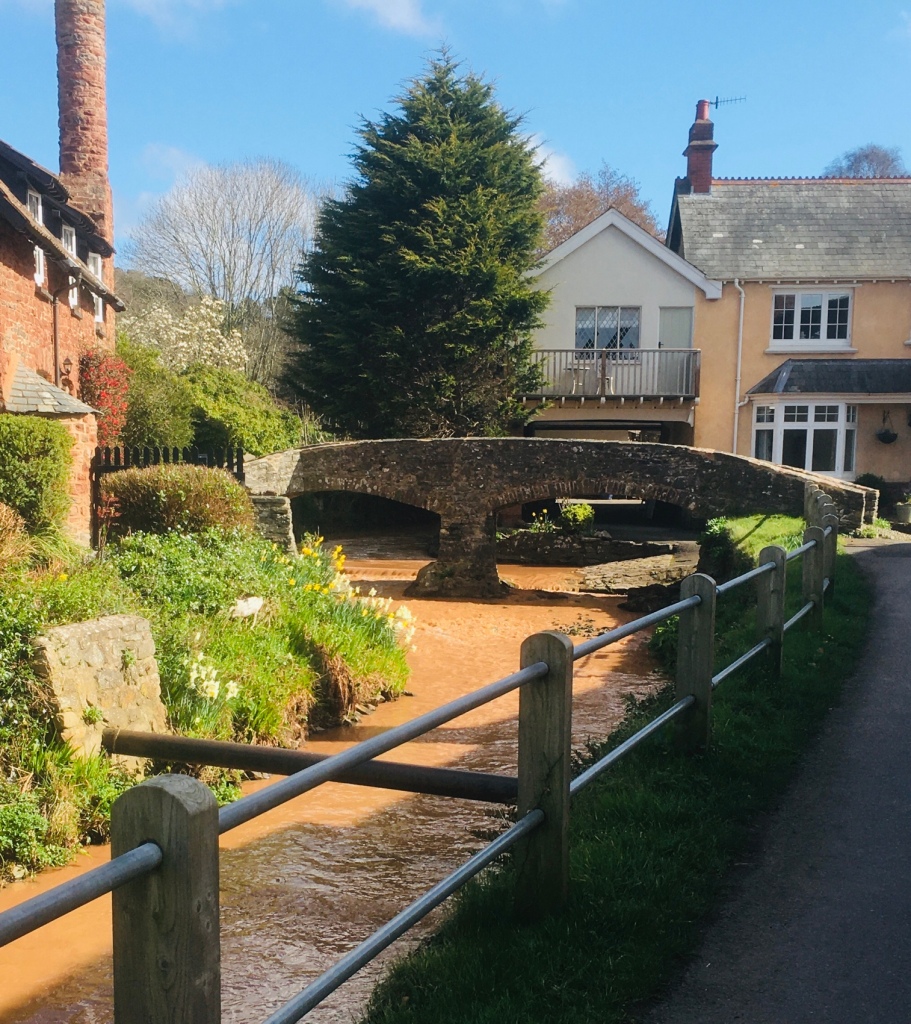
A rural settlement between the moorland hills of Dunkery Beacon and Selworthy Beacon; when it rains on the surrounding moorland the water is forced through the village. Allerford is at the heart of nationally important research work to see how moorland management can reduce the flooding risk that communities such as Allerford face. The enquiry draws very much on the experiences and archive images from the 1952 Lynmouth Flood Disaster, with extension activities along the Lynn included. The Packhorse BridgeWe crossed over the muddy coloured stream and followed a path back to Holnicote. A distance in the region of 8 or 9 miles, depending on whose Fitbit you relied upon. Regardless of that, it was a very enjoyable walk, led by Mike.
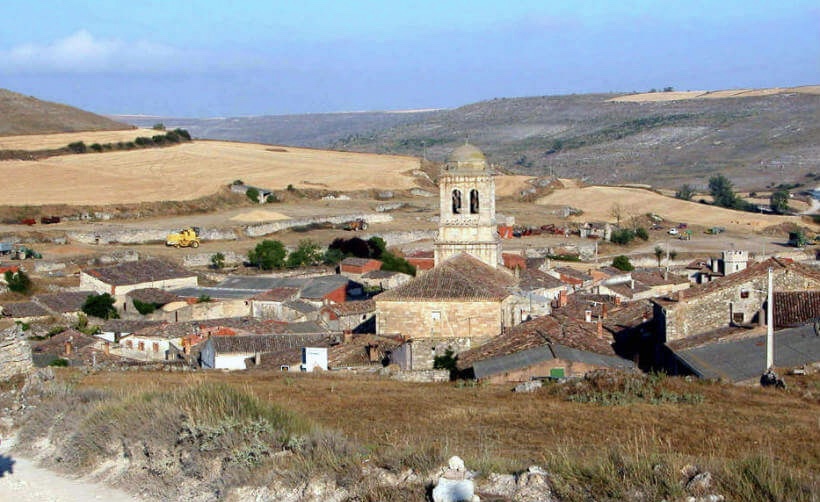
Hontanas is a town that has numerous fountains and hence the etymology of its name, “fountains”. In fact, the name of this small town comes from fountain (fontana) and possibly alludes to the small springs that were in the place and that could have become an authentic oasis on the route, after several kilometers of harsh Castilian plateau. The town had a hospital for pilgrims called San Juan, although it was popularly known as Mesón de los Franceses. It was located in a building on the main street that currently houses one of Hontanas’ shelters.
Domenico Laffi recounted the following in his Trip to the West (Editorial Sildavia): “After, with the help of God, this totally deserted sandbank, we arrived at the village called Fontana and spent the afternoon there. It is hidden at the bottom of a stream that you can hardly see until you find yourself in it. Besides, it is small, unfortunate and poor. It only has ten or twelve houses, I mean huts covered with straw, to protect them from the snow, where only shepherds live.” The scenery has changed a lot, except that you don’t see Hontanas until you’re glued to it. Now she is neither poor nor much less unfortunate.
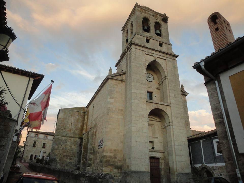
The parish church of Hontanas presided over by a tall and strong tower, is dedicated to the Immaculate Conception. It was originally built in the Gothic style, in the 14th century, although it was neoclassically reformed over time. It shelters a baroque altarpiece, the work of the mountaineer Fernando de la Peña. Inside there is a magnificent copper processional cross with enamels and figures typical of the 13th century. Its style suggests that it is made in Spain, in the late Romanesque style.
There is a niche with images of leaders and holy people from many faiths across the world ,honouring all of humanity’s sacred traditions- a strong ecumenical feel – a lovely modern twist. BB These days the fountains still pour day and night, but it is the local pool which does most of the refreshing.WP
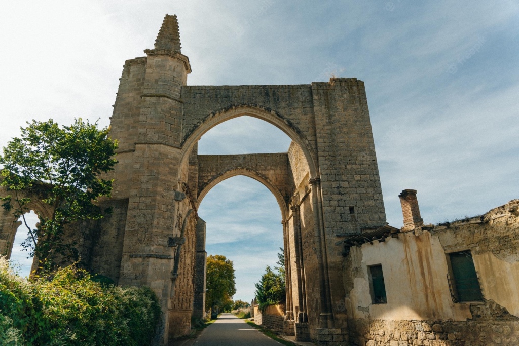
A very few KM or so,out of Hontanas and after a gentle descent, the Convento de San Anton is reached.
The ruins of the monastery and pilgrim hospital of San Antón is a delightful space that seems to embrace the camino, its archway spanning the road itself. Once a sprawling complex there is little that remains.
The albergue here has never seen better days, and the efforts of a dedicated team of volunteer hospitaleros keep the place as traditional as can be expected.
The niches in the archway, previously used by monks to deliver food to late arriving pilgrims, are now a popular spot to leave written messages.WP
The Arc of San Anton was founded in 1146 under the patronage of King Alfonso VI. It was formerly the main Preceptory of the Antonian monks in Spain. This order was dedicated to the care of pilgrims along the Camino de Santiago and to cure those who suffered from the “Fire of San Anton,” a disease that spread during the Middle Ages because of an undetected fungus that grew on grains. The monks helped pilgrims and were conferred with the Cross of Tau, a sign of protection against evil. The Cross of Tau is a symbol also associate with the Knights Templar. According to a local source, The Arc of San Anton was also once one of five Knights Templar Commanderies associated with the town of Castrojeriz. The Cross of Tau – The tau cross is a T-shaped cross, sometimes with all three ends of the cross expanded. It is called a “tau cross” because it is shaped like the Greek letter tau.
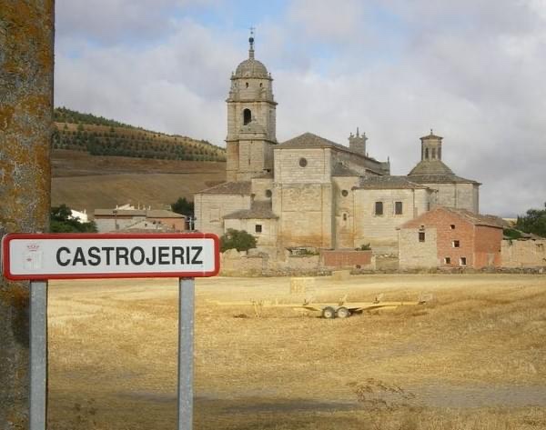
“ As we leave these splendid ruins behind, the Convento de Santa Clara opens up to our left (1/2 Mile ) where you can buy one of the wooden crosses made by the nuns. Castrojeriz now opens to view in front of us. The prominent castle ( ruins ) stands sentinel over the town and surrounding countryside. Note: the town straddles a long,winding road.JB
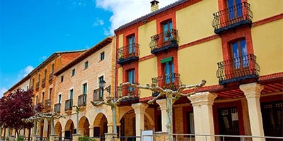
The layout of the Castrojeriz road-path is deceptively long and, unlike some of the smaller examples, it has been extended to encompass several parallel streets. Its three churches are worth a visit, and a hike to the castle ruins offers a view of the surrounding land only paralleled by the climb out of town. WP
HISTORY The houses along the road were built with an invisible secret, that of a tunnel that runs the length of the city and connects the cellars. In addition to being private property of the owners, its exploration is hampered by the construction of dividing concrete walls; a civil war era security measure to preserve welfare. The city was, and still is, passionately divided. That will not prevent you from enjoying the charm it offers pilgrims. WP
Most pilgrim-related services can be found along Calle Oriente , but the largest pharmacy and groceries are closer to the main road.
Also along the East is the Hospital del Alma ; part art gallery and part meditation space and exactly where you want to go if you’re looking for a bit of peace and quiet.
In the main square there is a small pilgrims shop, one of the last of its kind. The owner is quite the character and has managed to keep up with the times, trading the usual small-town items for the kind of high-tech gear modern-day pilgrims are looking for.
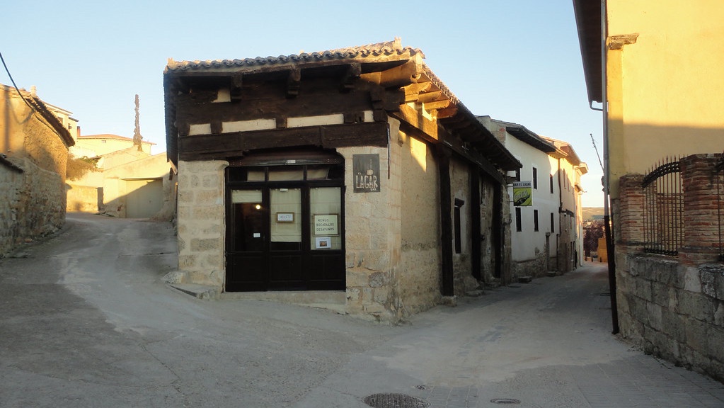
On the way out of town is Bar Lagar, named for the well-preserved grape press in the center. Check it out for a glimpse of how things were once made.WP
Let’s hope it’s open we pass by.
A fellow pilgrim asked “Are you nervous about the meseta?” “The what?” I naively responded, thinking it was some sort of tribe or gathering. After having it briefly explained to me I replied, “Why would I be nervous?”. And that’s exactly how people should respond. But it is very different from other stages of the Camino and an important part of the way. There are some amazing villages, beautiful ruins and other sights to see, the people are friendly, it’s very affordable day to day and the Spanish culture in this area is fantastic. It is also considered a time of inner reflection for many. I think pilgrims who skip this entire section of the Camino are really missing out on a unique experience. A quotation from a recent post.
https://music.youtube.com/watch?v=THz_YLFMpXM&feature=share The Walk by Steve Miller. “ Now if you don’t know what it’s all about Come to me and I’ll show you how Well do it fast, well do it slow Then you’ll know the walk everywhere you go
You can walk, and you walk, now you walk You gonna walk, you gotta walk it, Just a walk Just a walk Just a walk Just a walk”.
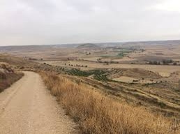
LEAVING CASTROJERIZ – “ One of the most beautiful vistas of the Meseta is 3.5 KM after leaving Castrojeriz. A steep climb leads up the slope of the high ridge, Alto de Mostelares . You will be rewarded for the hard effort to get here with limitless views of the yellow and green wheat fields of the Meseta looking like a patchwork quilt.” BB The Alto de Mostelares is the highest of the peaks you will encounter along the meseta, but it is not as difficult as it appears from Castrojeriz.WP
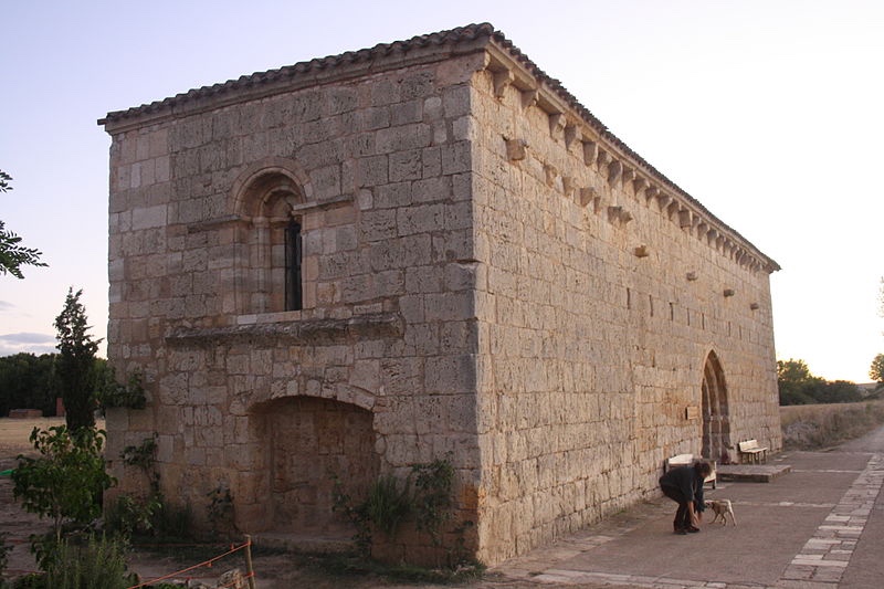
“ At the end of the slope where the trail levels out again you will spy another reward, the refreshing Rio Pisuerga with the Ermita de San Nicolas along its Eastern bank. BB
The Ermita de San Nicolás , like the ruins of San Antón before Castrojeriz , has a long history of caring for pilgrims. Both are on their own far from cities and as a result don’t necessarily get the amount of traffic they deserve. Perhaps that’s for the best, as pilgrims often claim they’re the most memorable lodges along the way.WP
Seven arches on the Puente de Itero dating back to the 11th century. We are now entering the province of Palencia.
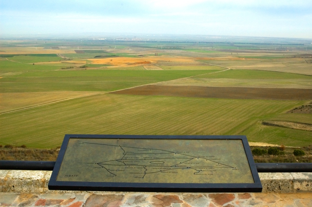
“ Between the village of Itero and and the point of entry to Boadilla you will see just one tree. However,before finishing the stage you come at least to a climb and a little pine wood . Today you have had your first taste of Tierra de Campos” SR “Tierra de Campos is a natural region located in the autonomous community of Castilla y León, which spans the provinces of Palencia, Valladolid, Zamora and León. The French Waypasses through this area, allowing you to enjoy an excellent natural environment during the journey. The gently sloping plains stand out in this area, generally treeless and with a clear steppe appearance. It is worth stopping to discover its charms.” From Viajes de Camino de Santiago.
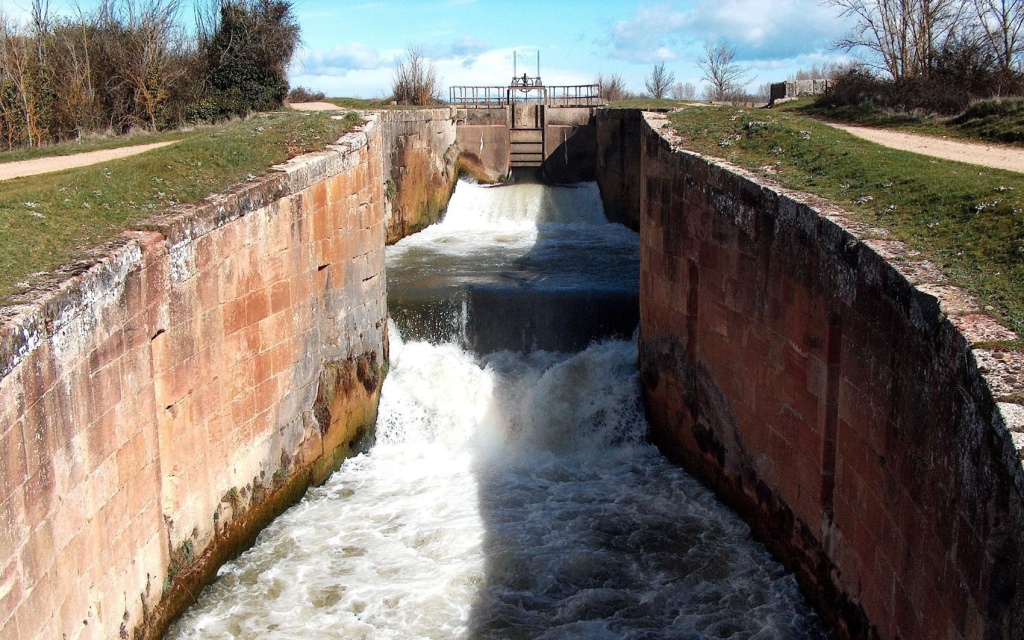
“ Three kilometres after Itero de la Vega you’ll cross the Canal de Pisuerga,a man made canal built to irrigate farmland in this wheat growing territory. The Castilla canal is one of the most important hydraulic engineering works carried out between the mid-18th century and the first third of the 19th century in Spain . It runs through part of the provinces of Burgos , Palencia and Valladolid in the autonomous community of Castilla y León ( Spain ) and was built to facilitate the transport of wheat from Castilla to the northern ports and from there to other markets. However, before the arrival of the railway , it became obsolete. Wikipedia
On approaching Boadilla del Camino you will notice “ the fields…are dotted with Palomares – dovecotes – find your way towards one and explore the interior which holds thousands of niches”WP
“ The original population of over 2000 that once served several pilgrim hospitals here continues to decline – a characteristic of many rural communities along the way . But the reawakening of the Camino is beginning to turn the tide “ JB
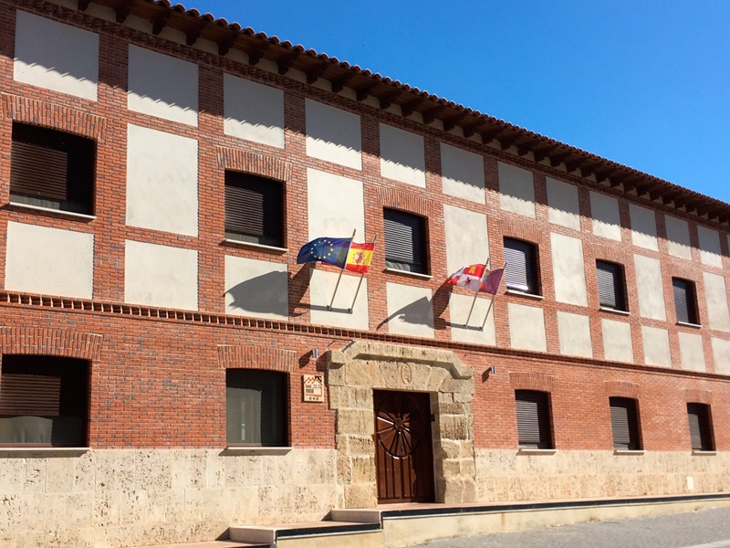
Hotel Rural “EN EL CAMINO” is our base for tonight.
“Excellent Location, great hospitality, love the owner, very accommodating. Restaurant, and hotel is clean and very nicely done. Right on the Camino! A recent review















 Google