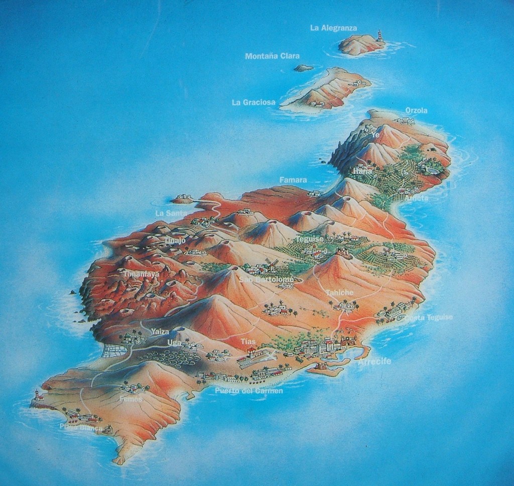
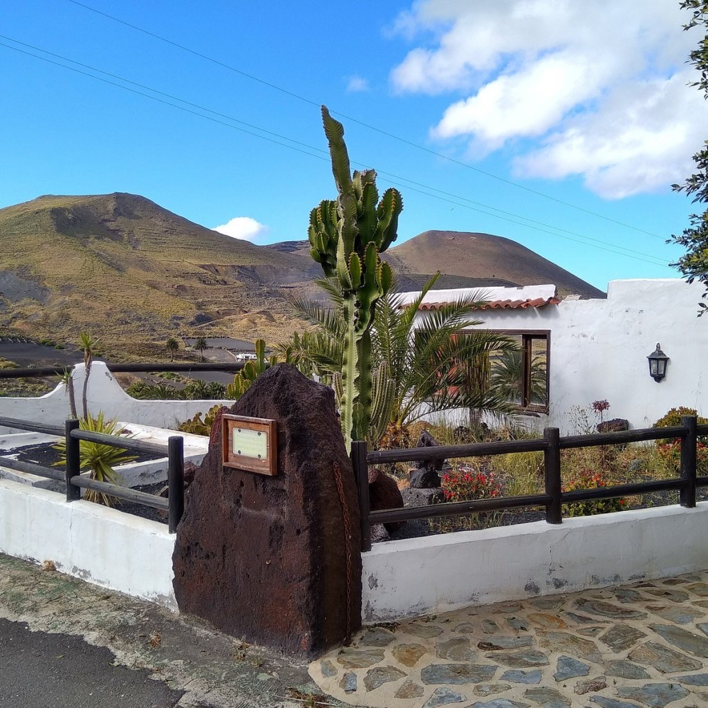
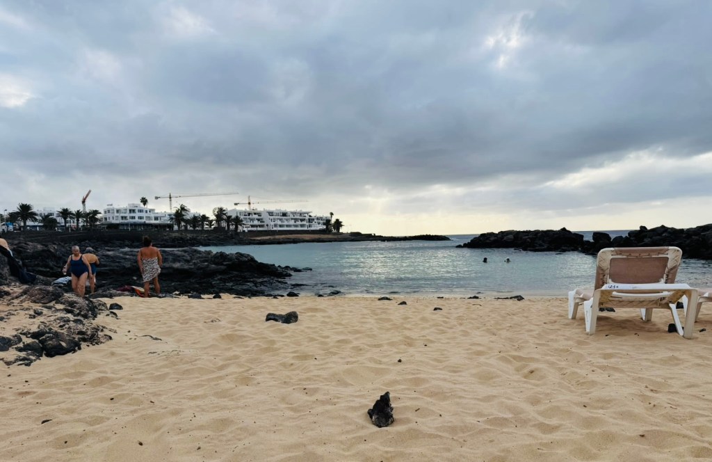
“Lanzarote is synonymous with volcanoes, lava fields, rocks of impossible shapes, and black and reddish soils that contrast with the typical white houses, the blue of the sea, and the azure of the sky. The landscape of the easternmost of the Canary Islands is completed by austere, gently rolling mountains, beautiful white and golden sand beaches, lush palm groves… and the silence, which is also part of Lanzarote’s enigmatic landscape.”
“Lanzarote was the second Biosphere Reserve in the Canary Islands, and it had a completely new component: for the first time the entire territory was declared a Biosphere Reserve by UNESCO, including all its towns and villages. The perfect symbiosis that Lanzarote has achieved between man and nature is, without doubt, the main reason for this international recognition.
Lanzarote brings innovative aspects to the World Network of Biosphere Reserves. The highlight is the integration of artistic creation in the territory, as an element that strengthens the island’s culture, also generating added value as a resource for tourism. This also offers aesthetic enhancements, bringing with them the improvements in income generation associated with the restoration of degraded spaces: cultural values, physical limits and environmental conditions are all reflected in the agricultural landscapes.
The island possesses excellent environmental qualities and is home to emblematic ecosystems as well as highly protected enclaves.”
Long before Europe knew these shores, Lanzarote was home to the Majos — a people of North African Berber origin who crossed to the island more than two thousand years ago. They lived in stone villages, grew barley, herded goats and made do on an island with almost no fresh water — a feat of adaptation in itself. They are often loosely called Guanches, though strictly speaking that name belongs to the original people of Tenerife; each Canary Island had its own people, and Lanzarote’s were the Majos.
Discovery and conquest
The island owes its modern name to a Genoese sailor: Lancelotto Malocello reached it around 1312, and by 1339 “Insula de Lanzarotus” already appears on Angelino Dulcert’s portolan chart — the first map of the Canaries. Through the rest of the 14th century, European ships came mostly for two things: slaves, and orchilla, a lichen prized for its purple dye.
The conquest proper began in 1402, when the Norman knight Jean de Béthencourt and the soldier Gadifer de La Salle landed on the small island of La Graciosa. Exhausted by decades of slave raids, the last king of the Majos, Guadarfía, chose negotiation over war: a pact of protection in exchange for submission. Béthencourt received the governance of Lanzarote from King Henry III of Castile — by then, only some 300 Majos remained. The conquerors’ capital, Teguise, would rule the island for four and a half centuries, until Arrecife took over in 1852.
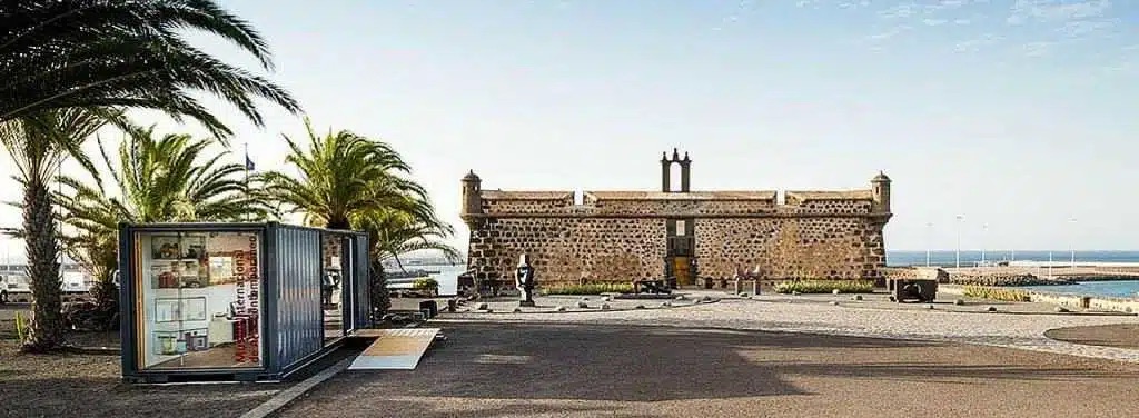
The pirate centuries: raids, castles and a Blood Alley
For three hundred years after the conquest, Lanzarote’s greatest enemy came from the sea. Sitting on the shipping lanes between Europe, Africa and the Americas, the island was raided again and again by Barbary corsairs and European privateers alike. In 1586 the corsair Morato Arráez sacked the old capital, Teguise — the massacre is still remembered in the name of one of its lanes, the Callejón de la Sangre, “Blood Alley”. The worst came in 1618, when an Algerian fleet landed thousands of men, burned Teguise and carried off around 900 islanders into slavery; others survived only by hiding deep in the lava tunnels of Cueva de los Verdes.
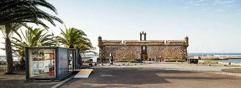
The island answered with stone. The castle of Santa Bárbara rose on the Guanapay volcano above Teguise — today, fittingly, it houses the island’s Piracy Museum. Castillo de San Gabriel guarded the harbour of Arrecife, and Castillo de San José followed in 1776–79, commissioned partly as a relief project to feed a starving island — which earned it the nickname Fortaleza del Hambre, the Hunger Fortress. Manrique later turned it into a museum of contemporary art: a very Lanzarote ending for a pirate fortress.
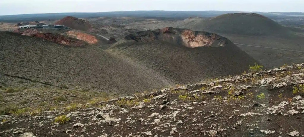
The years the earth burned
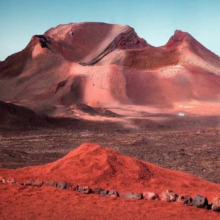
On 1 September 1730, the ground near Yaiza split open — and for six years it barely stopped. The eruptions of 1730–1736 buried roughly a quarter of the island, including some of its best farmland and dozens of villages, under lava and ash, creating the Fire Mountains of today’s Timanfaya. Three smaller eruptions followed in 1824. No lives were lost, but the island that emerged was a different world — the eerie, moon-like landscape Lanzarote is famous for.
Out of catastrophe came ingenuity. Farmers learned to dig through the ash to the soil below, planting each vine in its own sheltered crater — the technique that created La Geria, the island’s extraordinary wine region. And the volcanoes themselves became one of the island’s greatest attractions.
Barrilla, cochineal and the emigrant years
“The centuries between the volcanoes and modern tourism belonged to farmers — and to two unlikely export stars. First came barrilla, a salt-tolerant plant burned for soda ash used in glass and soap making. Then, in the mid-19th century, cochineal: a tiny insect raised on prickly-pear cactus whose crushed bodies yield brilliant carmine red. For a few decades, Lanzarote’s cactus fields dyed the fabrics and uniforms of Europe.
Synthetic dyes ended the boom almost overnight, and hard years followed: thousands of islanders emigrated to Cuba, Venezuela and Uruguay. Those who stayed perfected the island’s signature art of waterless farming — enarenado, growing crops under a blanket of volcanic gravel that traps the night’s moisture — and harvested salt at the Salinas de Janubio, opened in 1895 and still working today. That hard-won agriculture is what painted the patchwork landscape you see inland.”
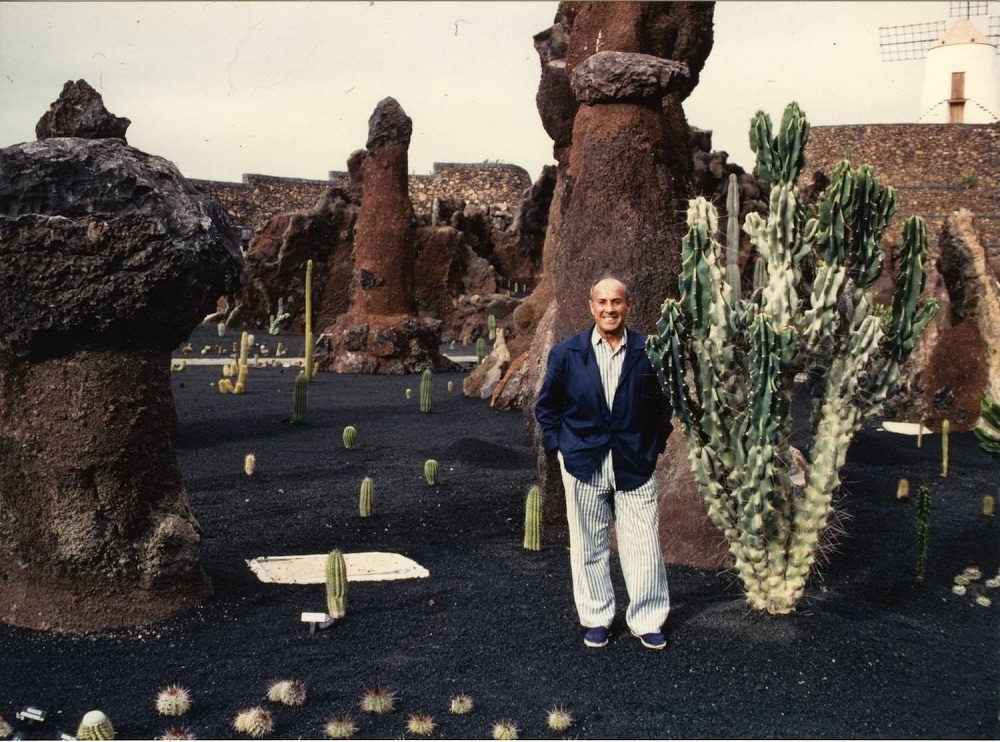
César Manrique: the man who shaped modern Lanzarote.
Born in Arrecife in 1919, César Manrique left to paint — Madrid, then New York — and came home in 1966 with a conviction that would change everything: Lanzarote could grow without destroying itself. He persuaded the island’s authorities to ban high-rise buildings and roadside billboards, and set about proving that architecture, art and volcanic nature could be one thing.
His works are now the island’s icons: Jameos del Agua, a collapsed lava tube turned concert hall and garden; Mirador del Río, a lookout carved into the cliffs above La Graciosa; his own house, built inside five volcanic bubbles, today the César Manrique Foundation. Together they form the network of Art, Culture and Tourism Centres that still defines how the island presents itself. Even the airport is named after him.
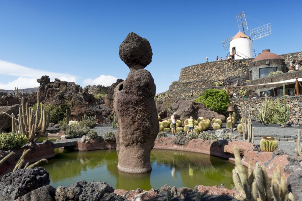
Have to go and see this..
From day one I have been interested in knowing how Lanzarote obtains its water. Lanzarote obtains almost all of its drinking water through the seawater desalination process, which turns ocean water into fresh water using reverse osmosis and older thermal methods.
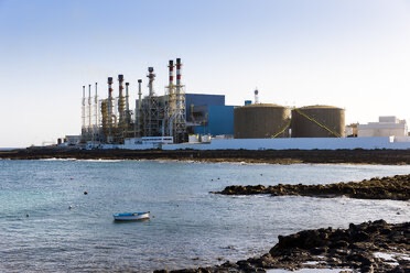
Lanzarote houses the historic site of Europe’s first seawater desalination plant, which was built in Arrecife in 1964 to supply fresh water to the arid island.
Today, dozens of plants across the island supply the municipal mains network.
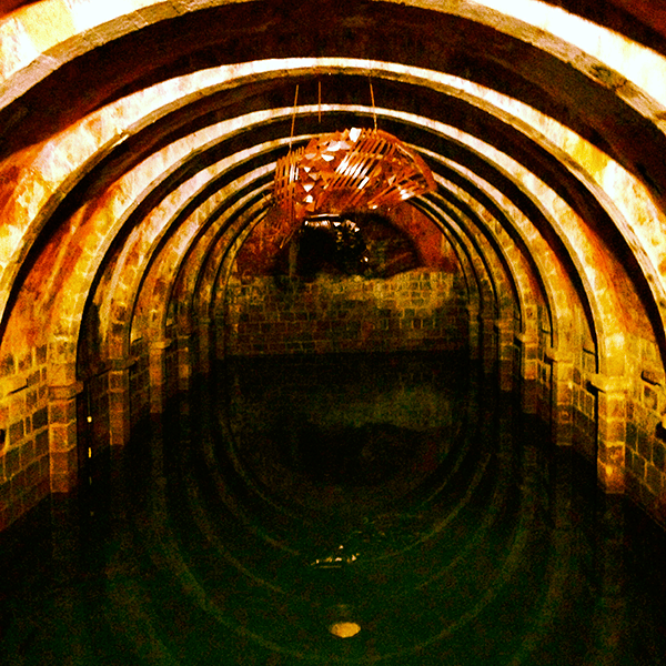
Historical Methods: Because Lanzarote has an arid desert climate with very little rainfall, residents historically relied on rooftop rainwater harvesting stored in underground concrete cisterns called aljibes.
Another unexpected fact on arrival – different time zone to Spain.
The time difference between the Canary Islands and the mainland: historical reasons
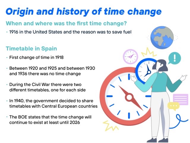
The historical reasons why the Canary Islands have one hour less go back to the year 1900, when a decree was passed to establish a single official time throughout the country that was aligned with the Greenwich meridian.
That decree, however, left out the Canary Islands, which for two decades maintained its ‘independence’ in this regard. However, due to maritime traffic issues, Great Britain lobbied for the Canary Islands to also have an established time zone.
It was in 1922 when a Royal Decree established that the Canary Islands had the time of its time zone, which, due to its geographical location, was one hour behind the mainland.
Peninsular time remained aligned with the Greenwich Meridian until 1940, when the dictator Franco, due to his sympathy with Nazi Germany, decided that Spain should have the same time zone as the center of Europe, changing from GMT to GMT+1, making the Canary Islands also move forward one hour (from GMT-1 to GMT).
This has been the case since then and the Canary Islands defends maintaining this time difference with the peninsula as a matter of brand identity and tourist promotion.
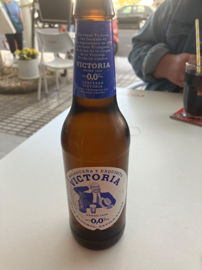
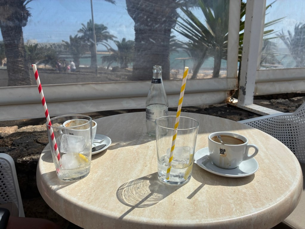


John, Interesting bit of history. It looks great………… there must also be something a bit more sustaining that the 0% Victoria. Enjoy……..