
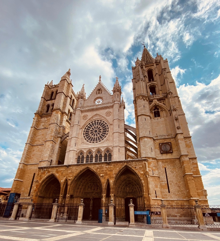
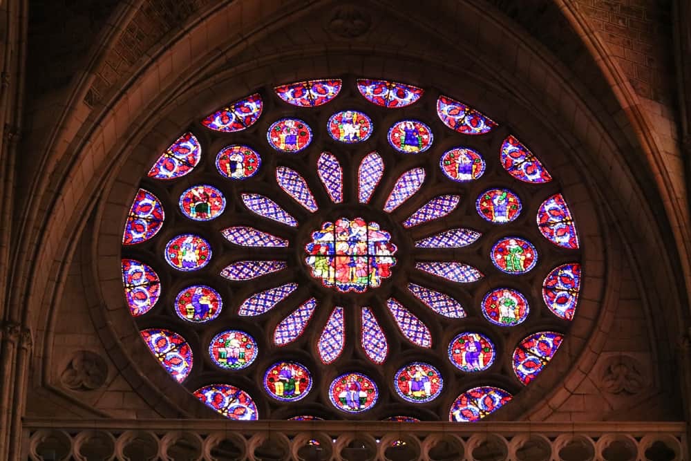
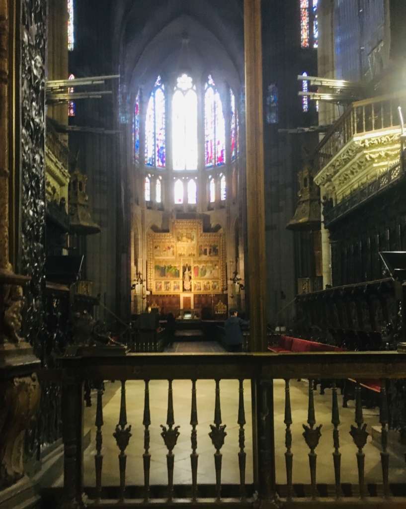
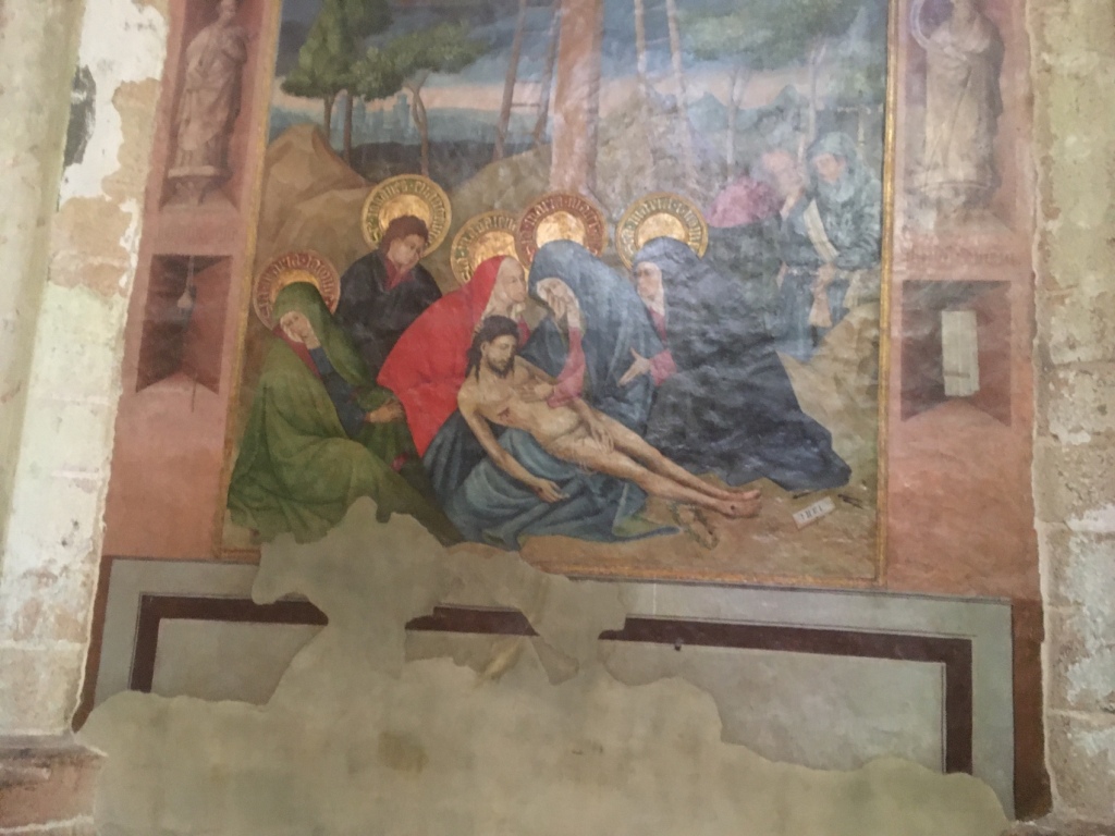
https://www.catedraldeleon.org/ is the cathedral website
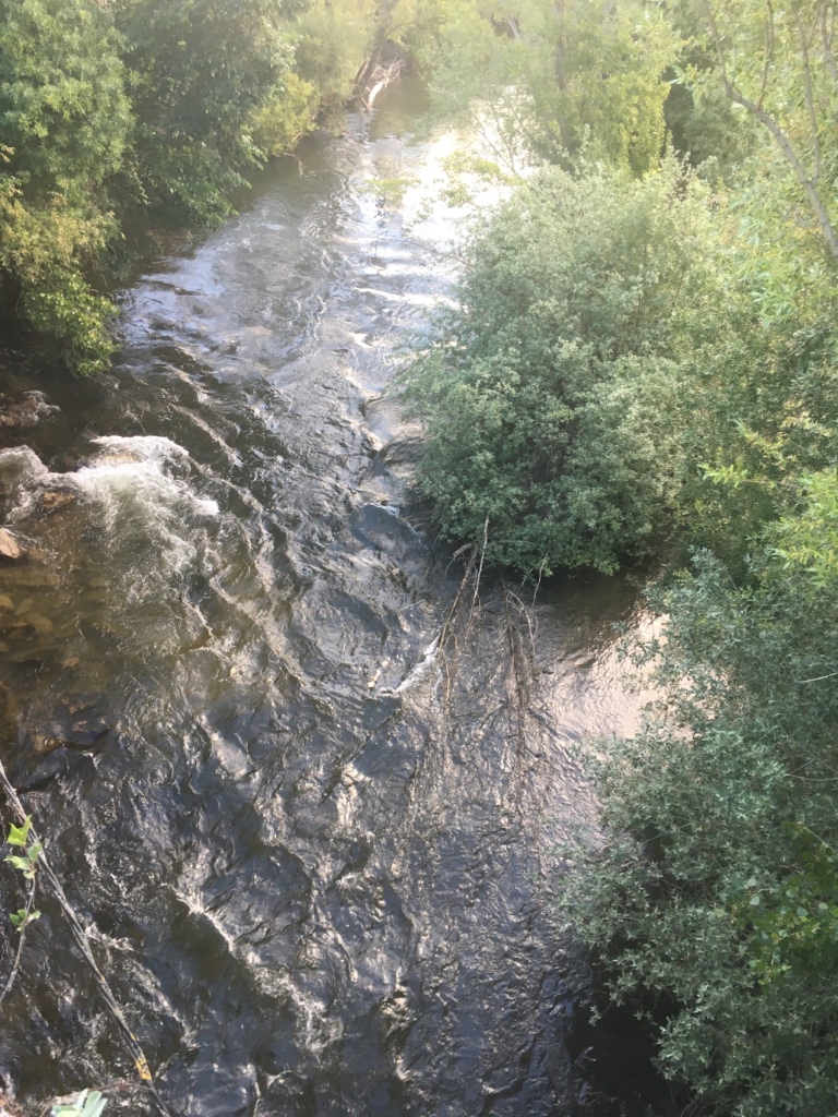
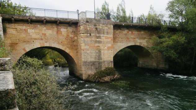
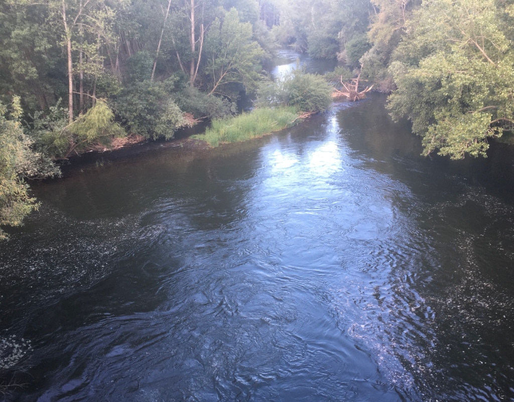
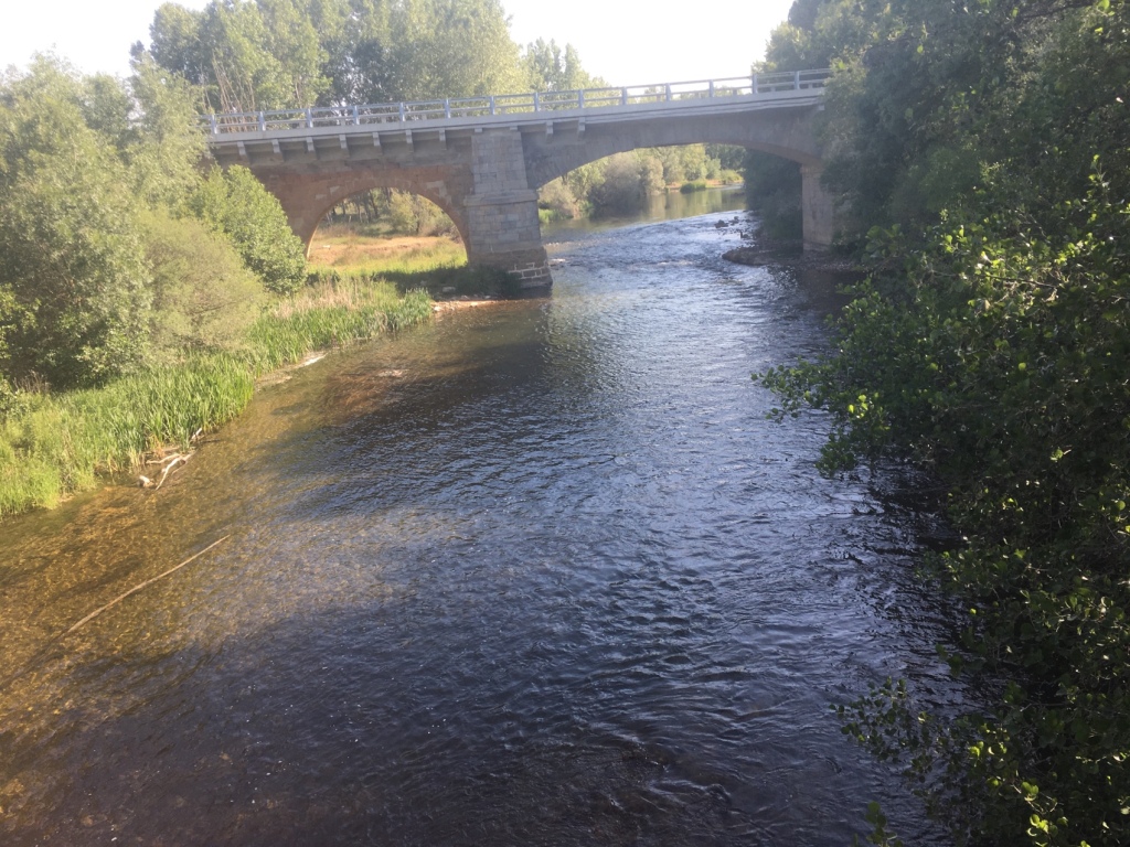
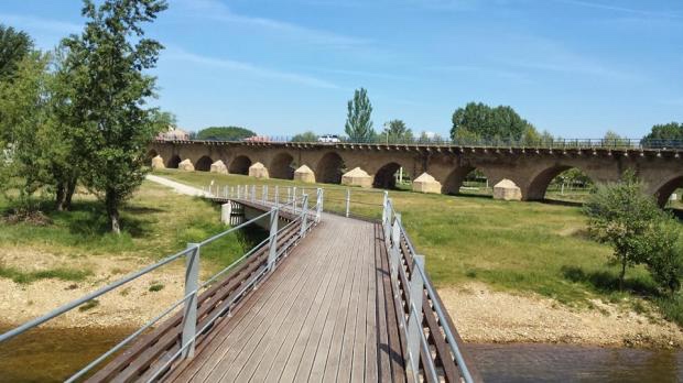
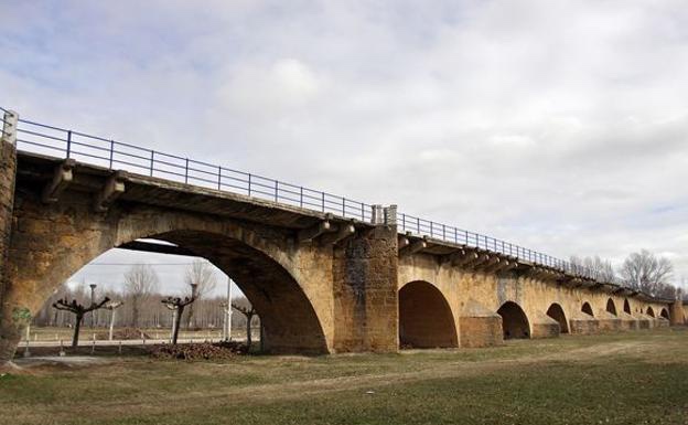
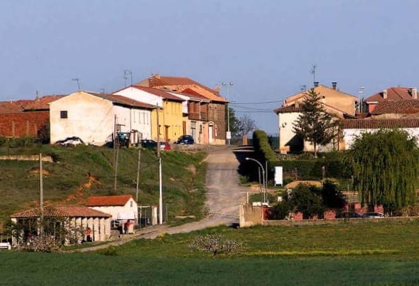
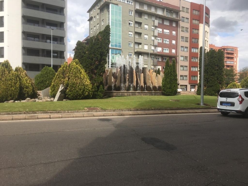
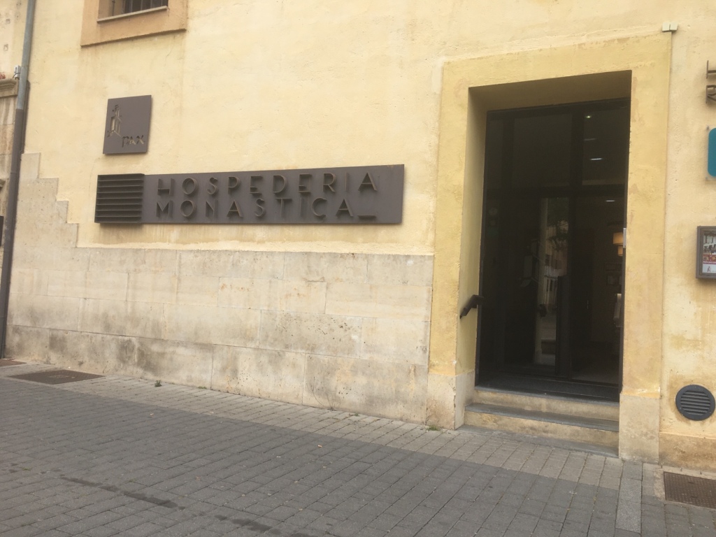
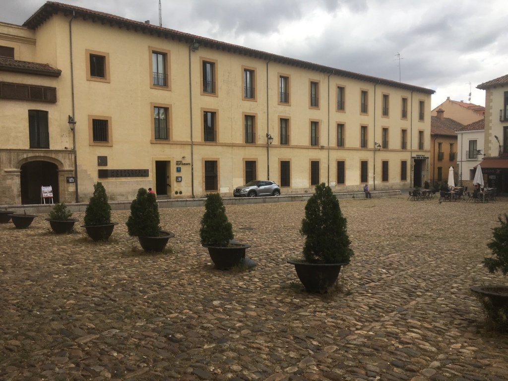
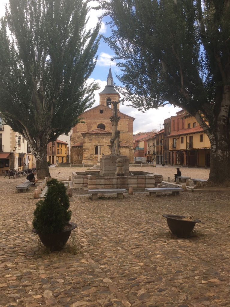
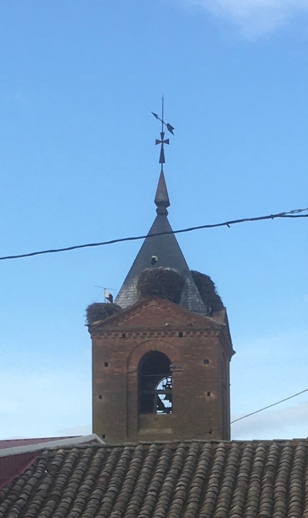
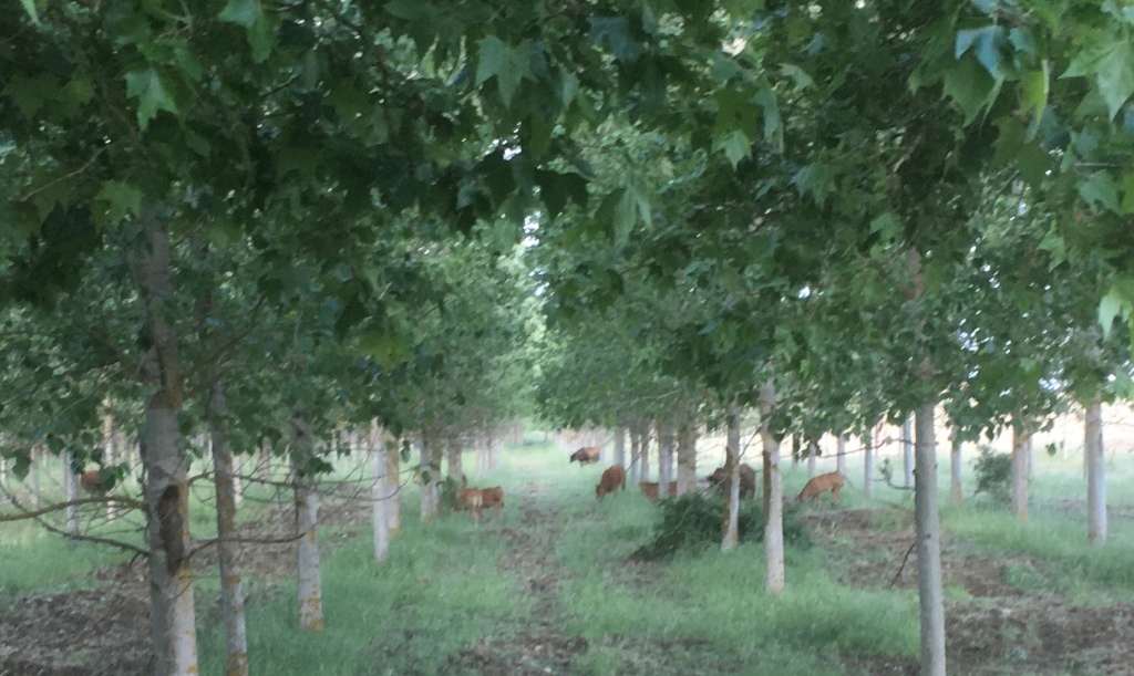
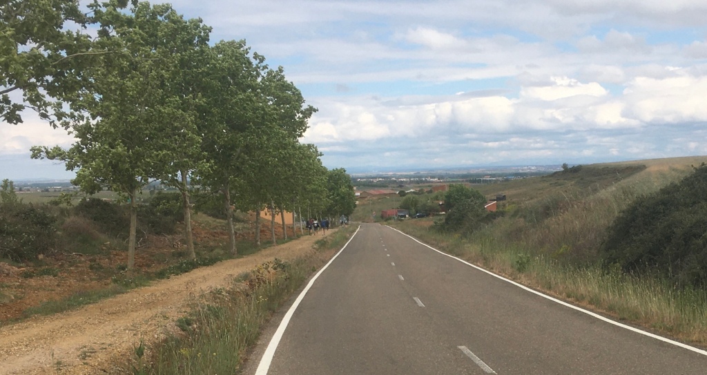
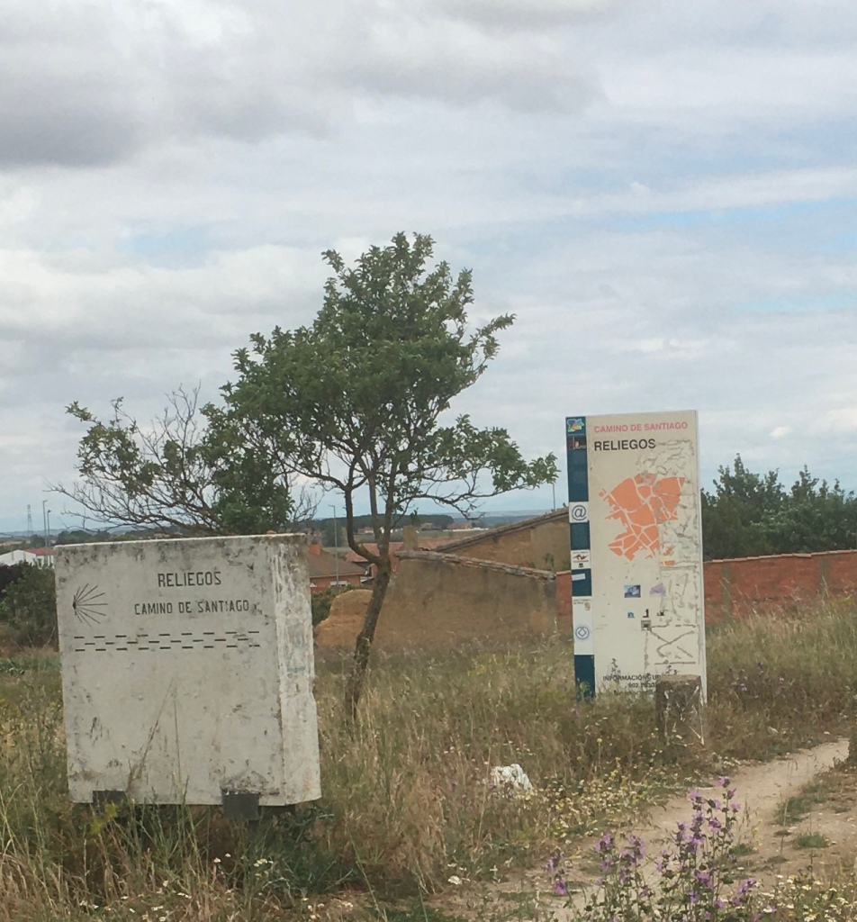
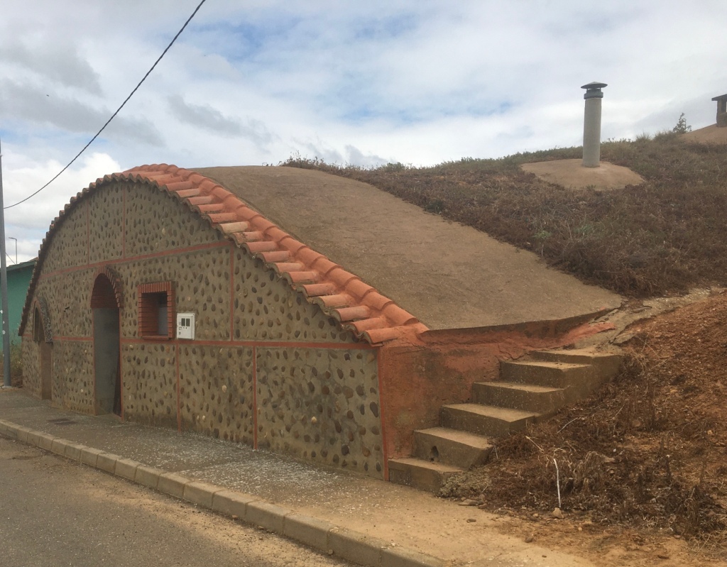
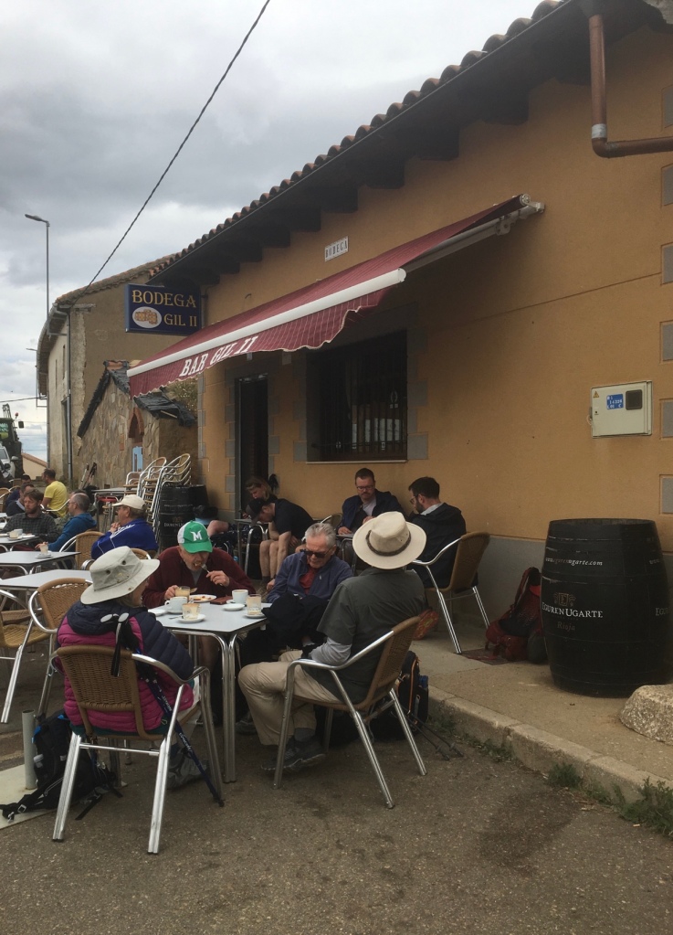
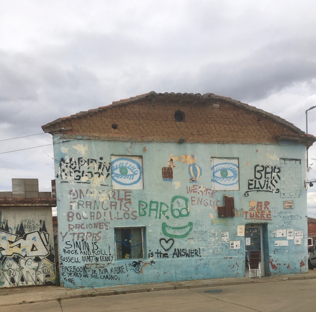
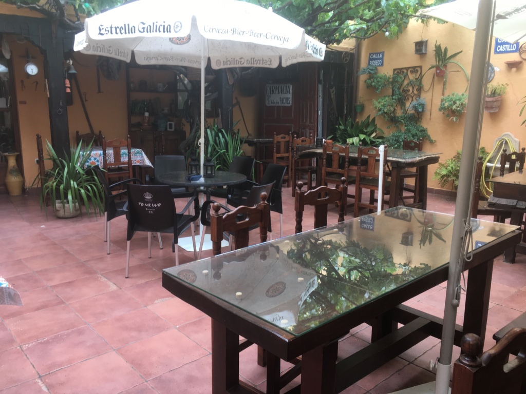
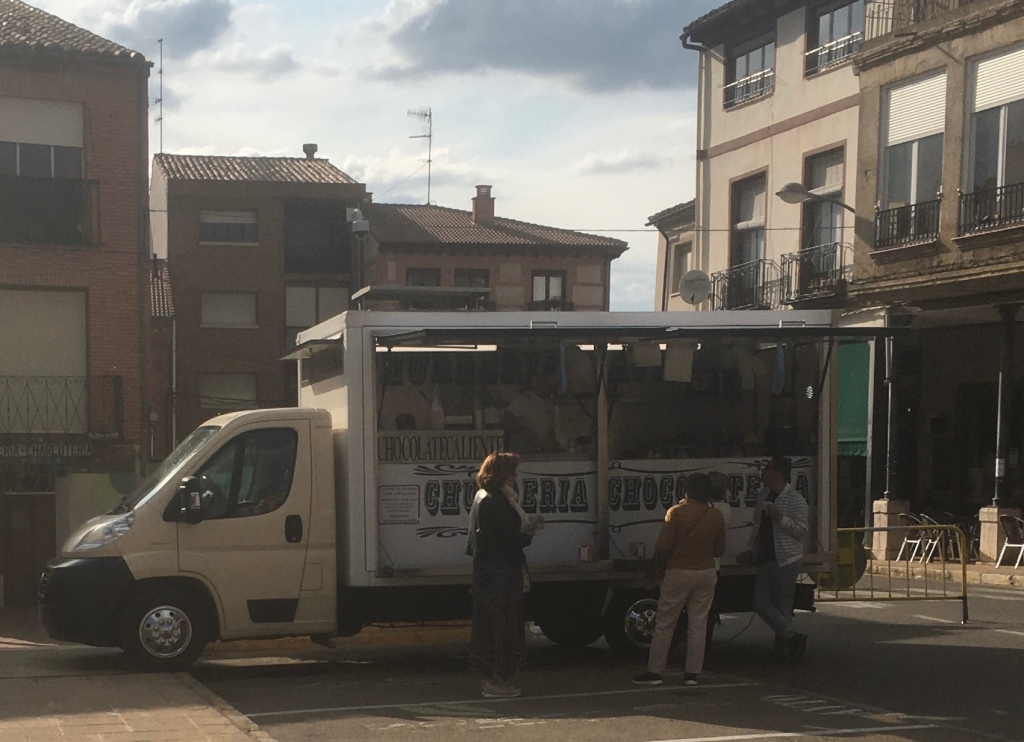
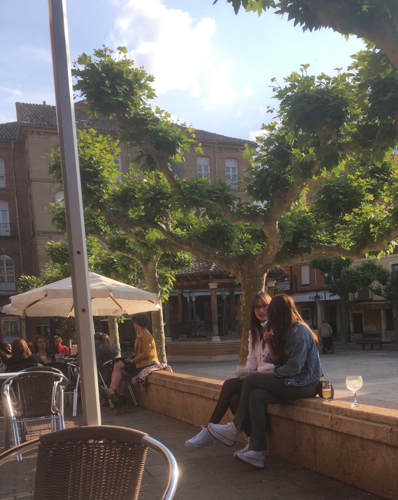
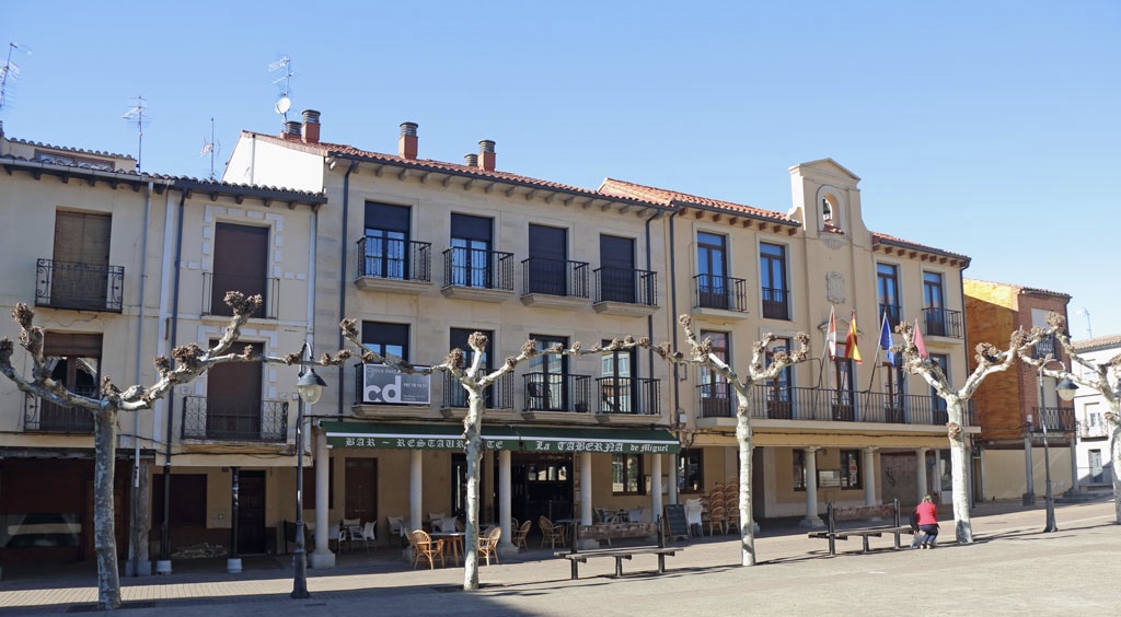
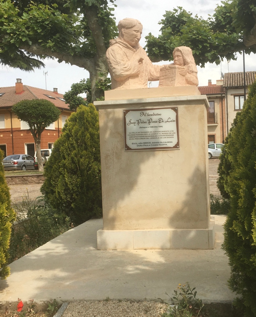
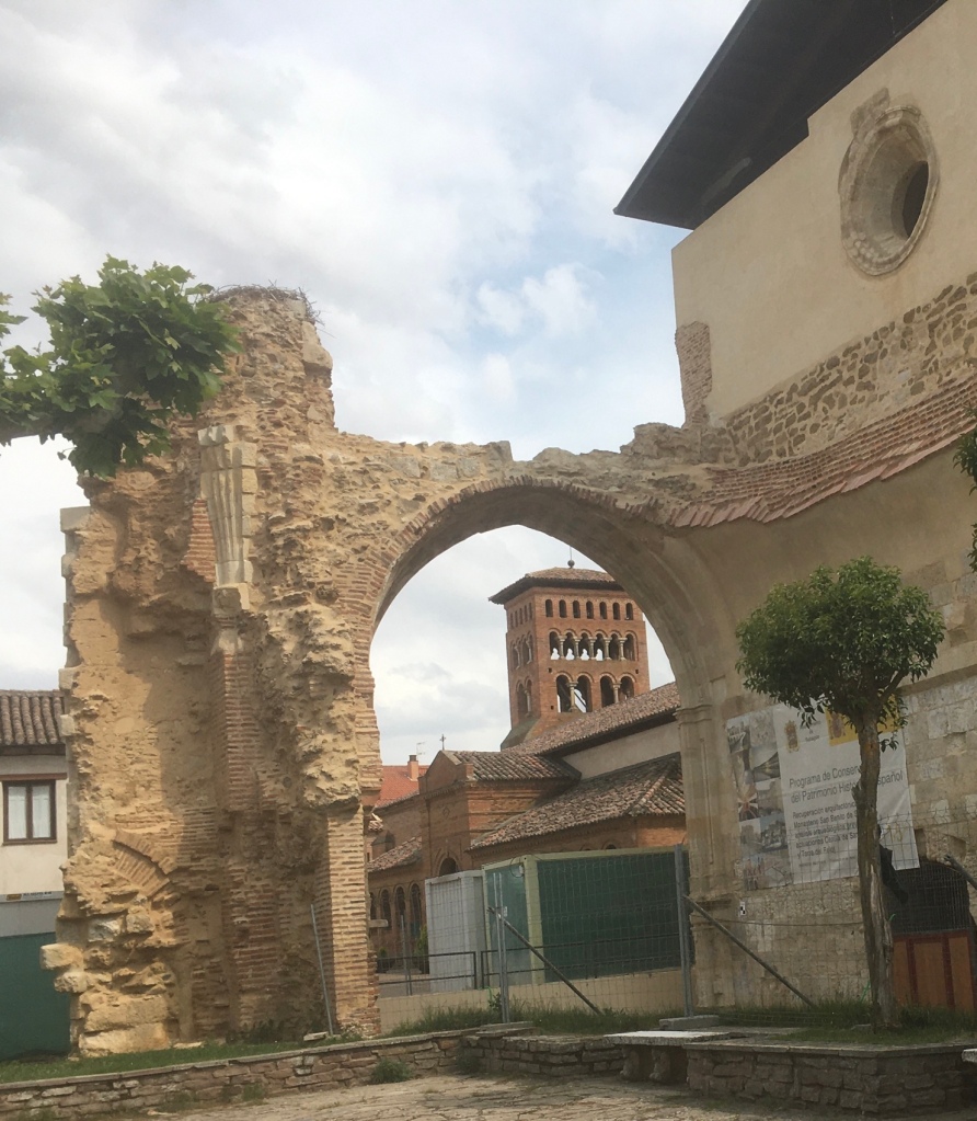
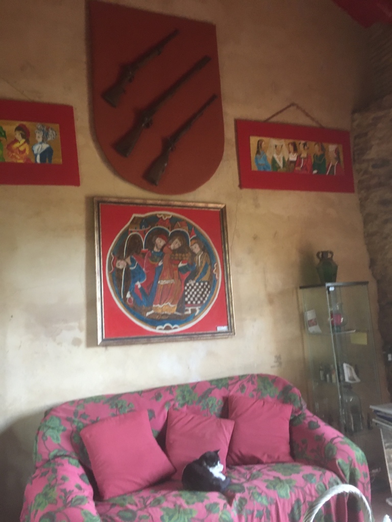
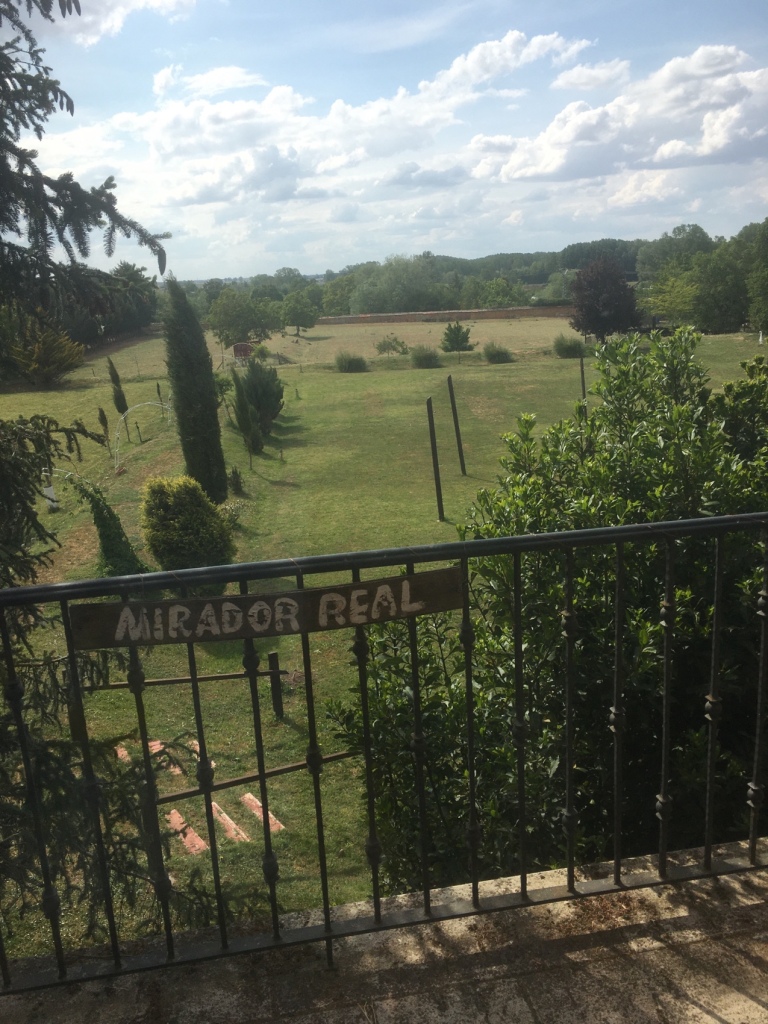
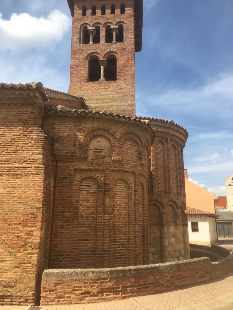
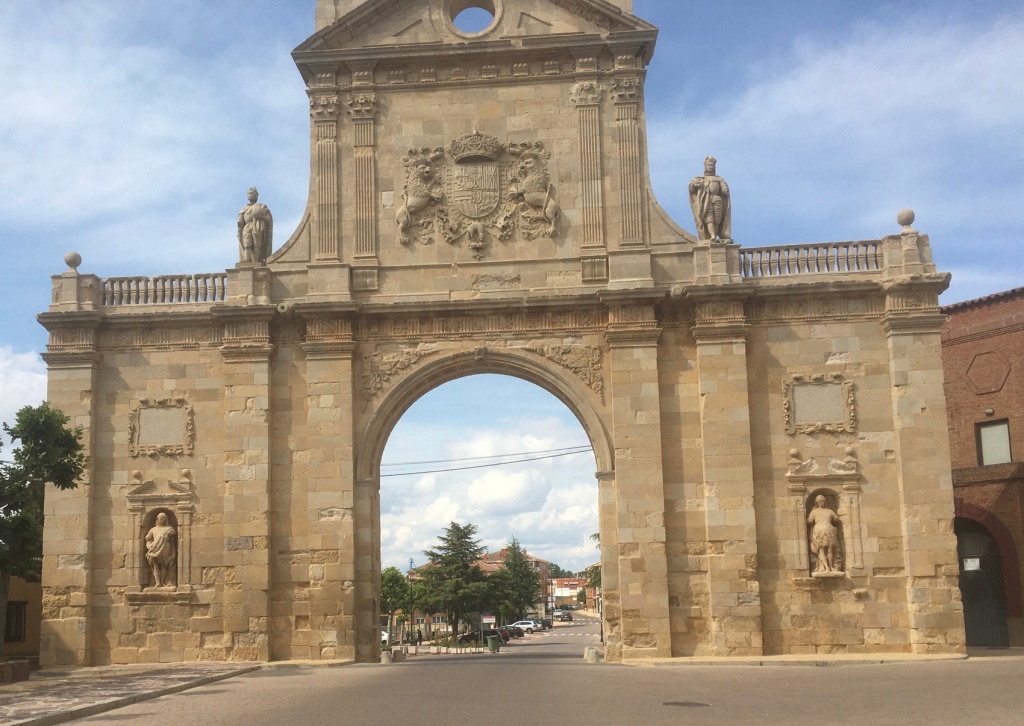
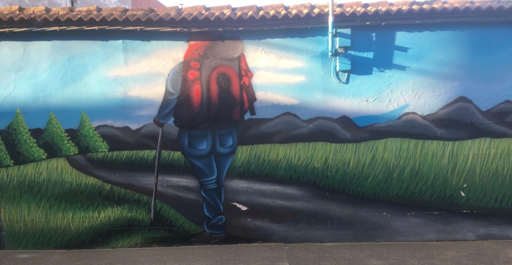
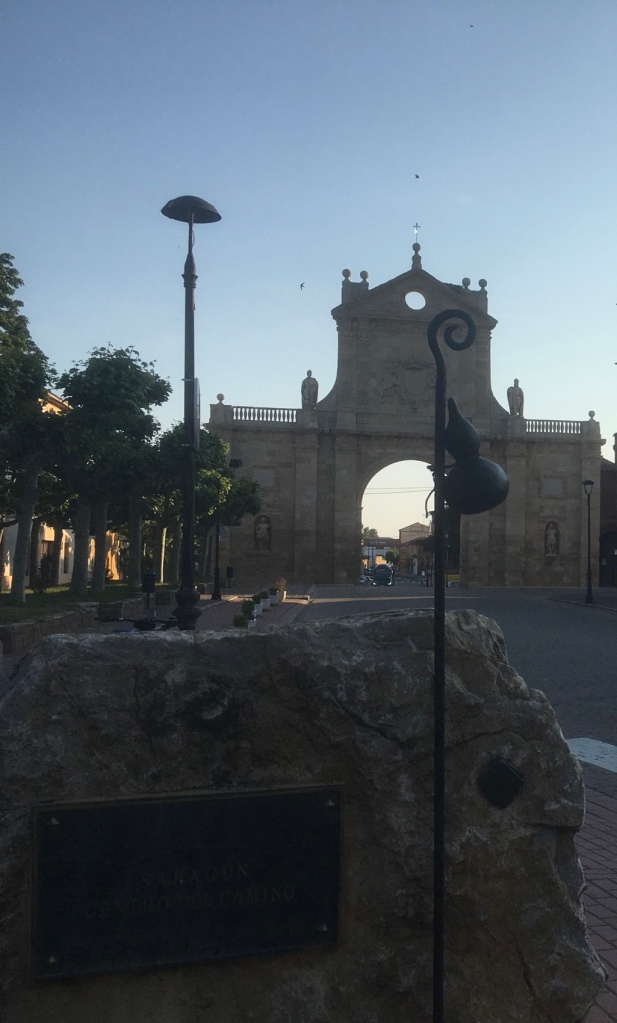
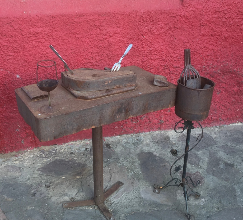
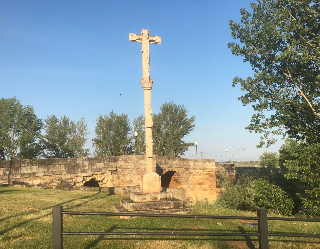
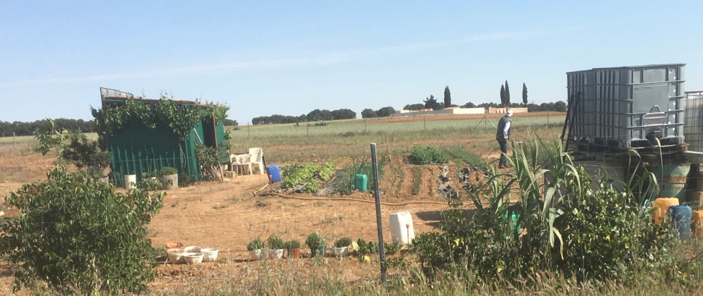
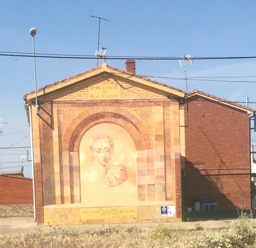
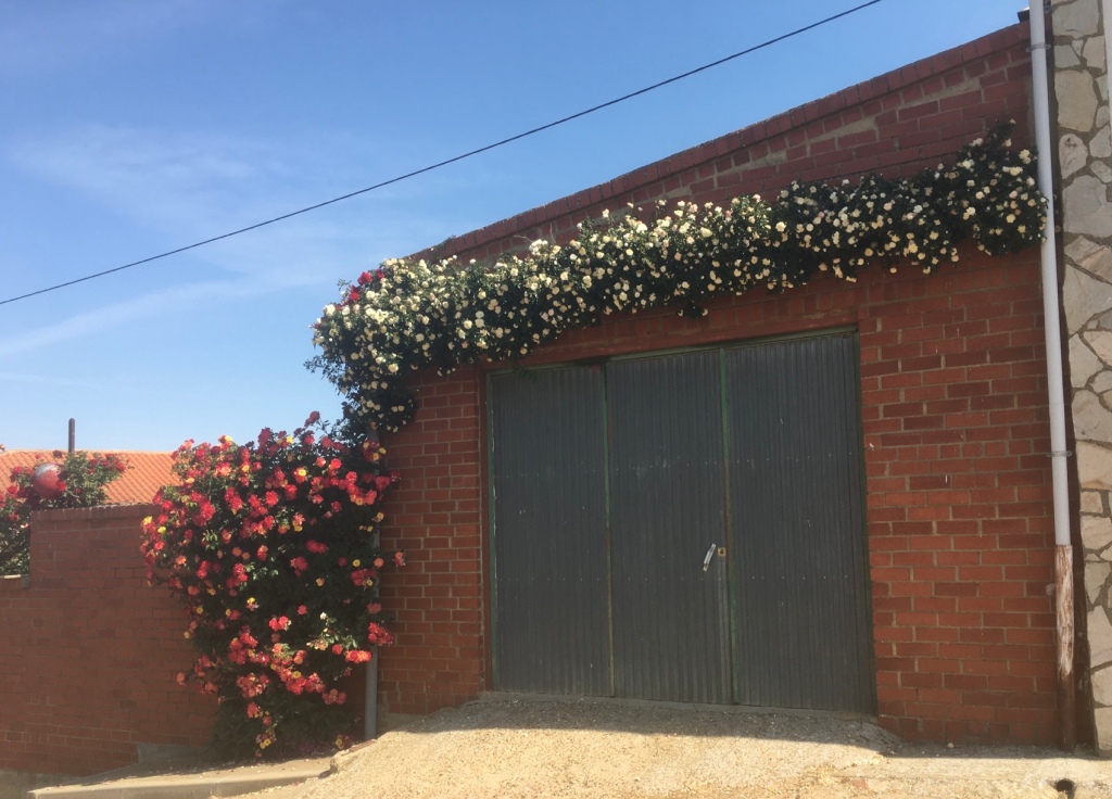
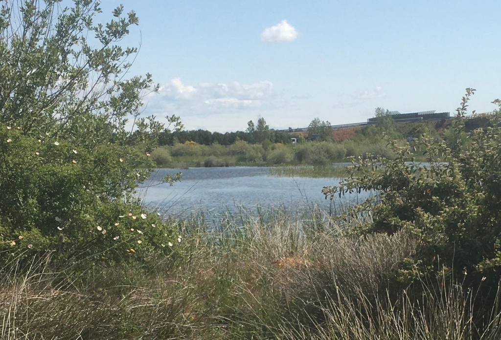
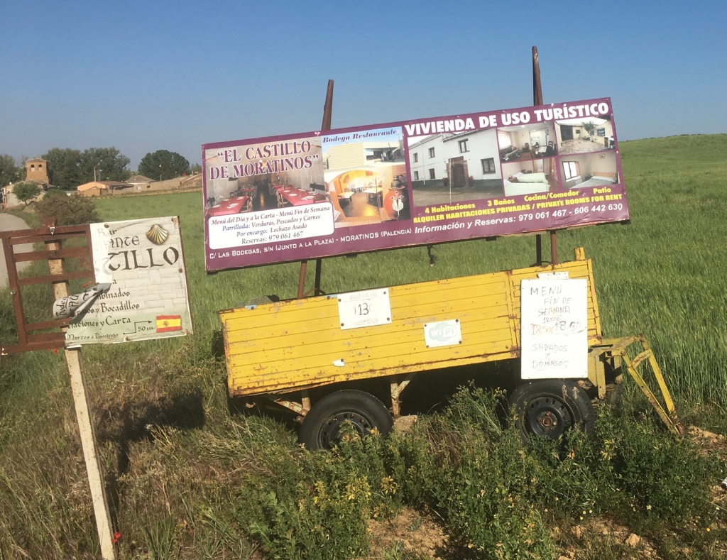
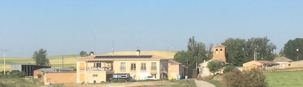
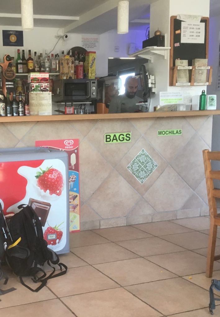
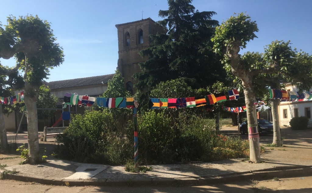
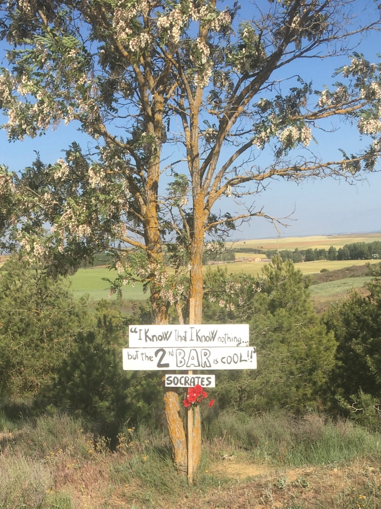
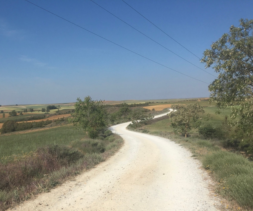
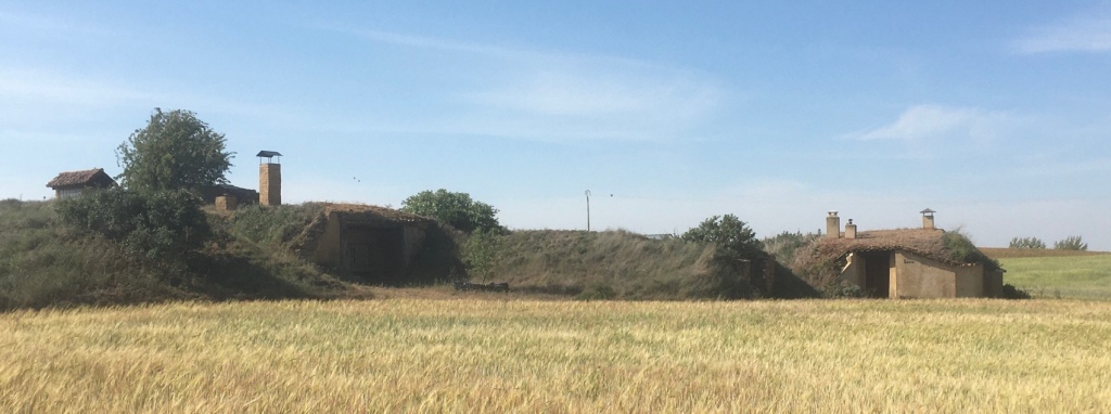
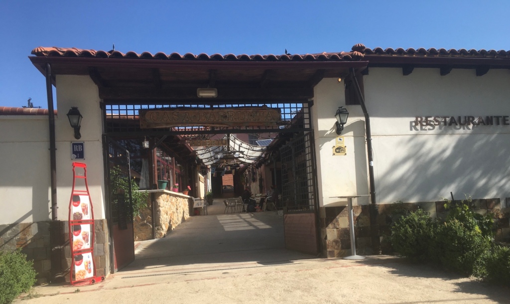
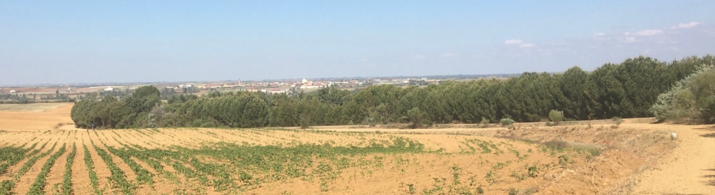
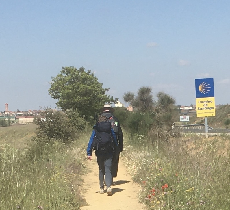
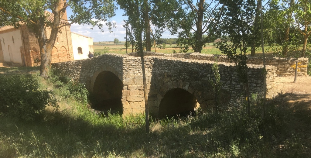
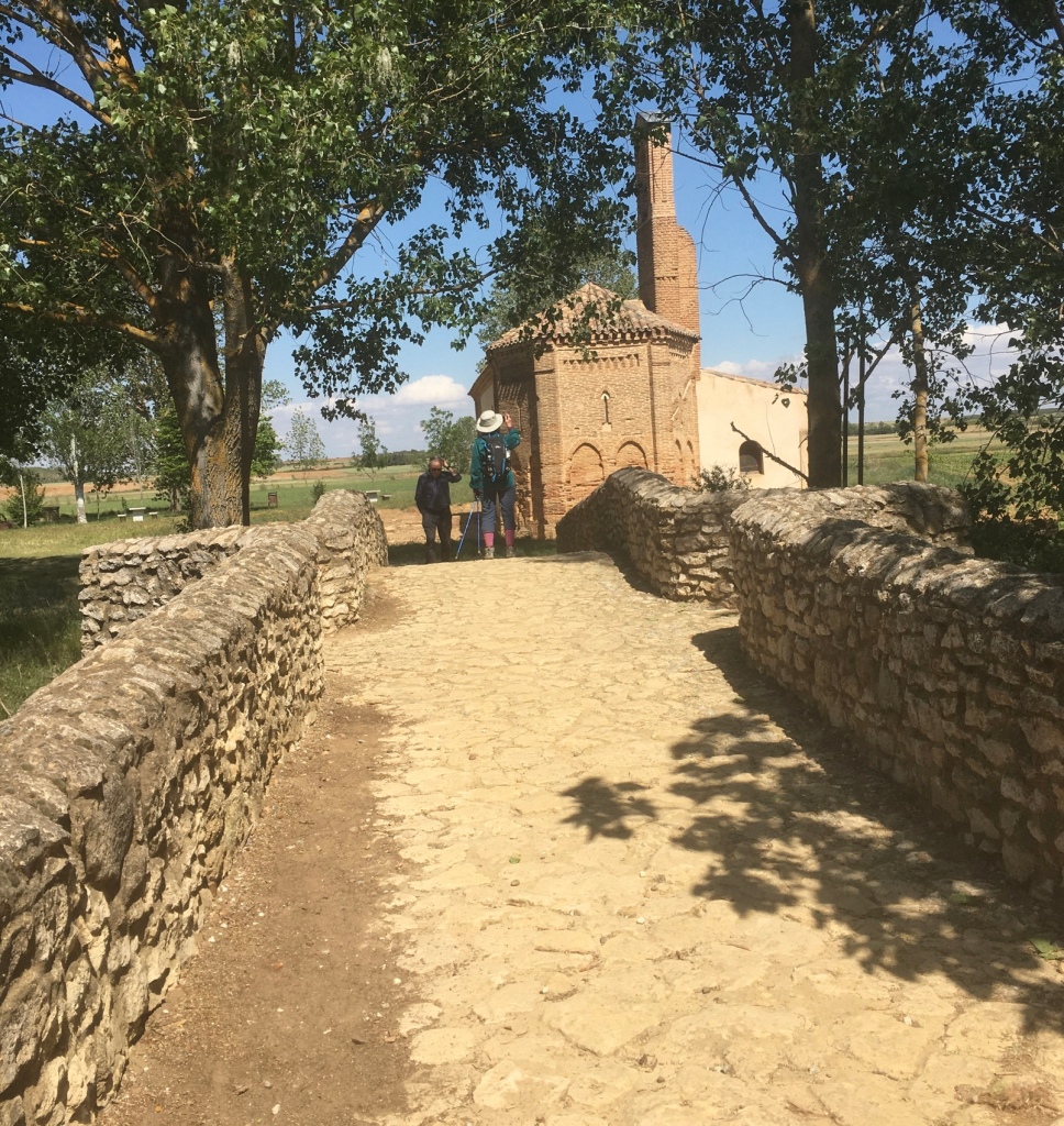
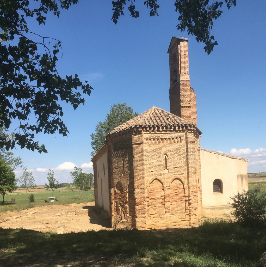
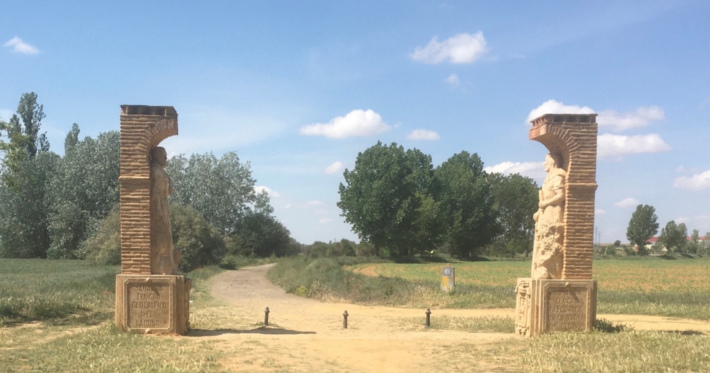
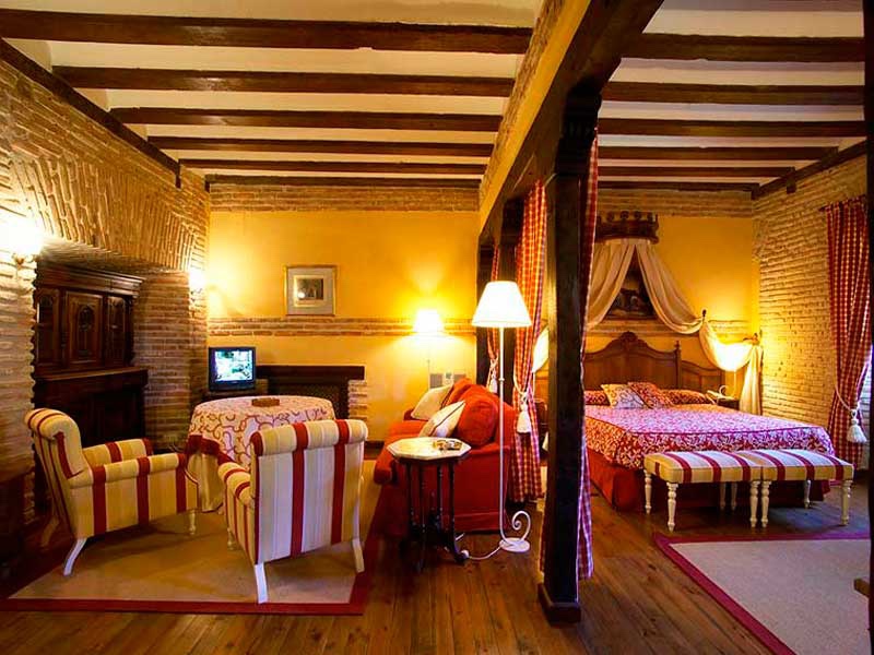
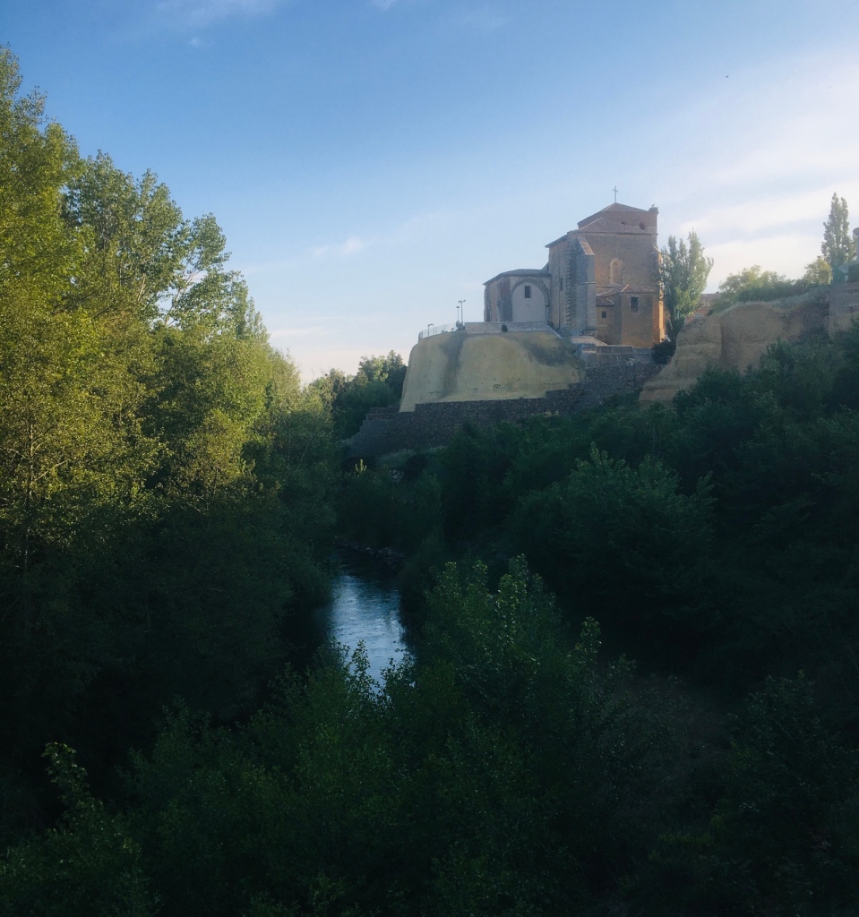
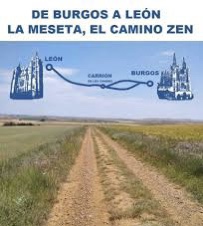
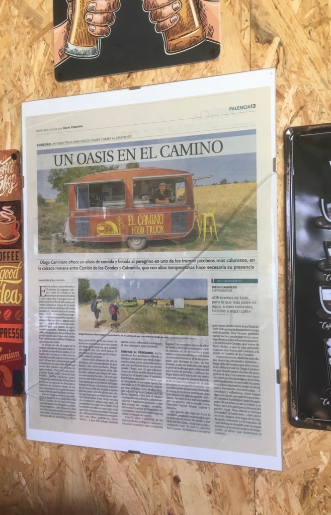
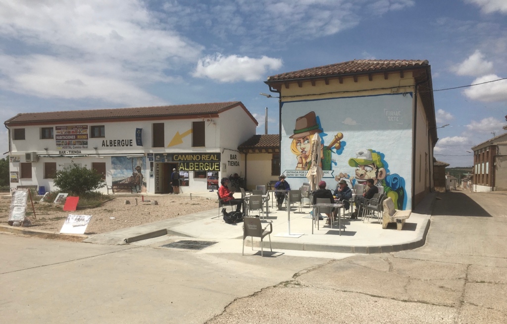
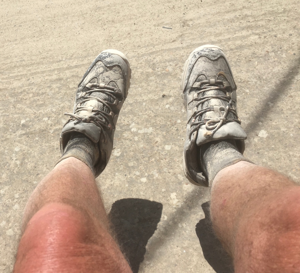
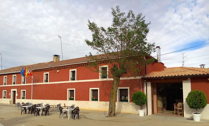
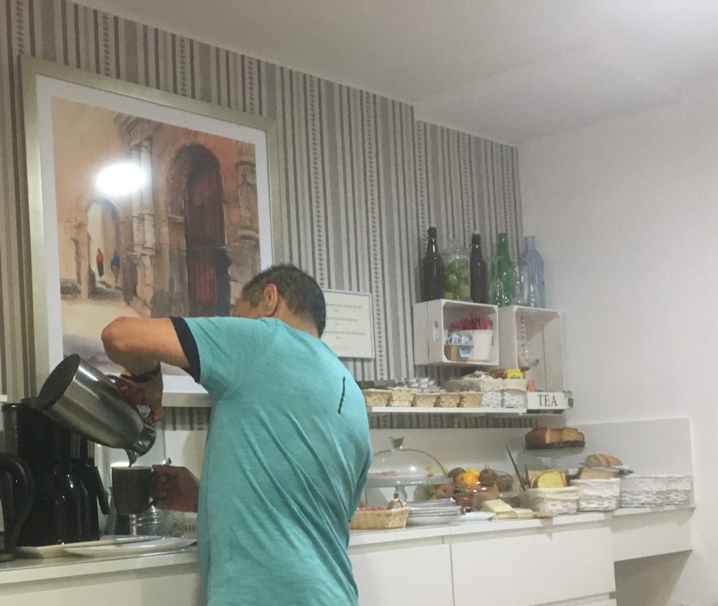
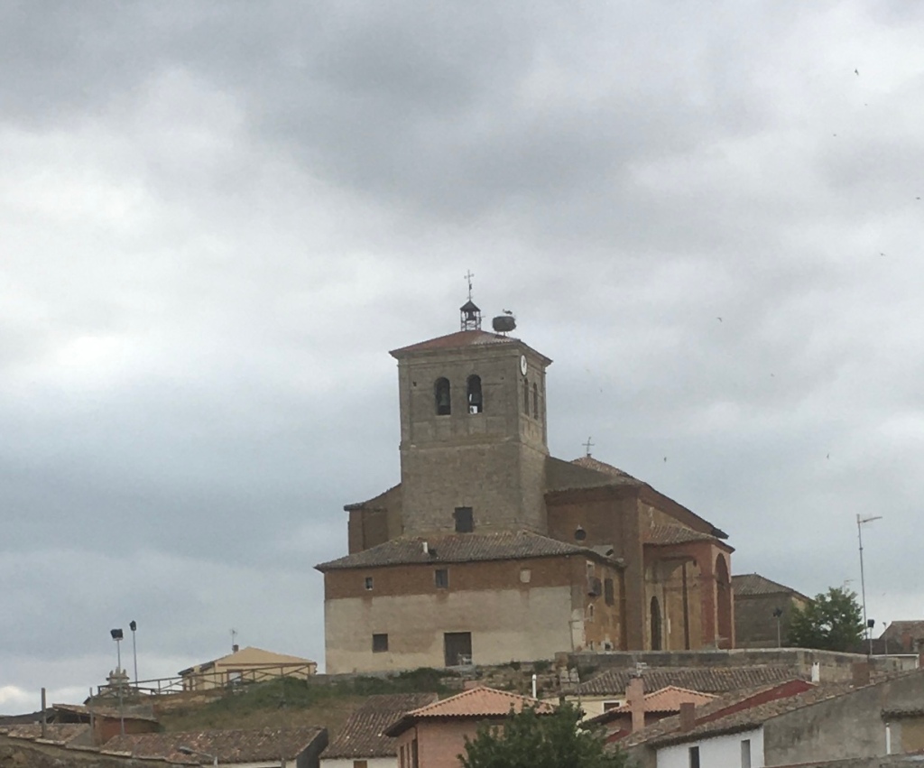
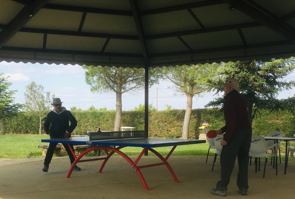
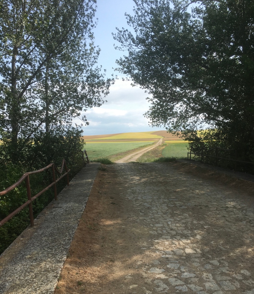
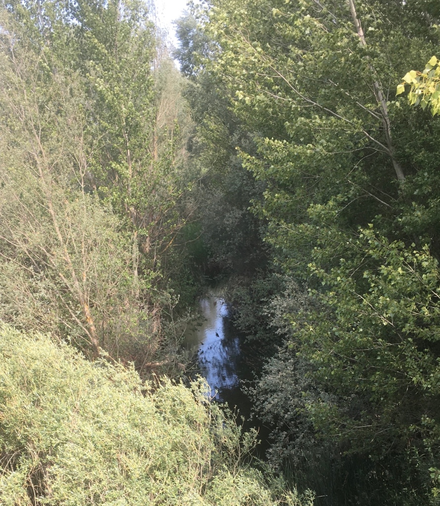
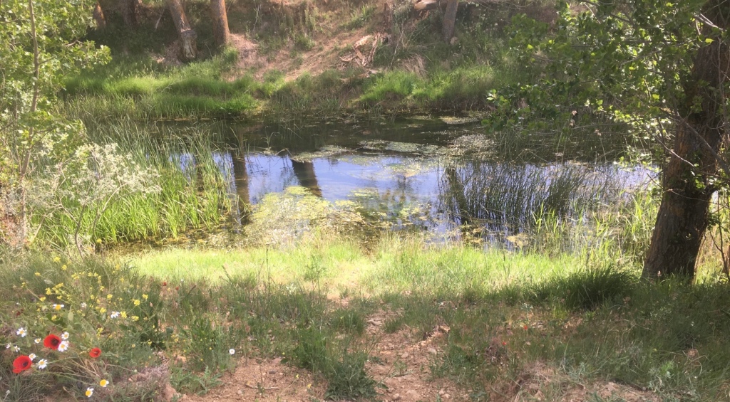
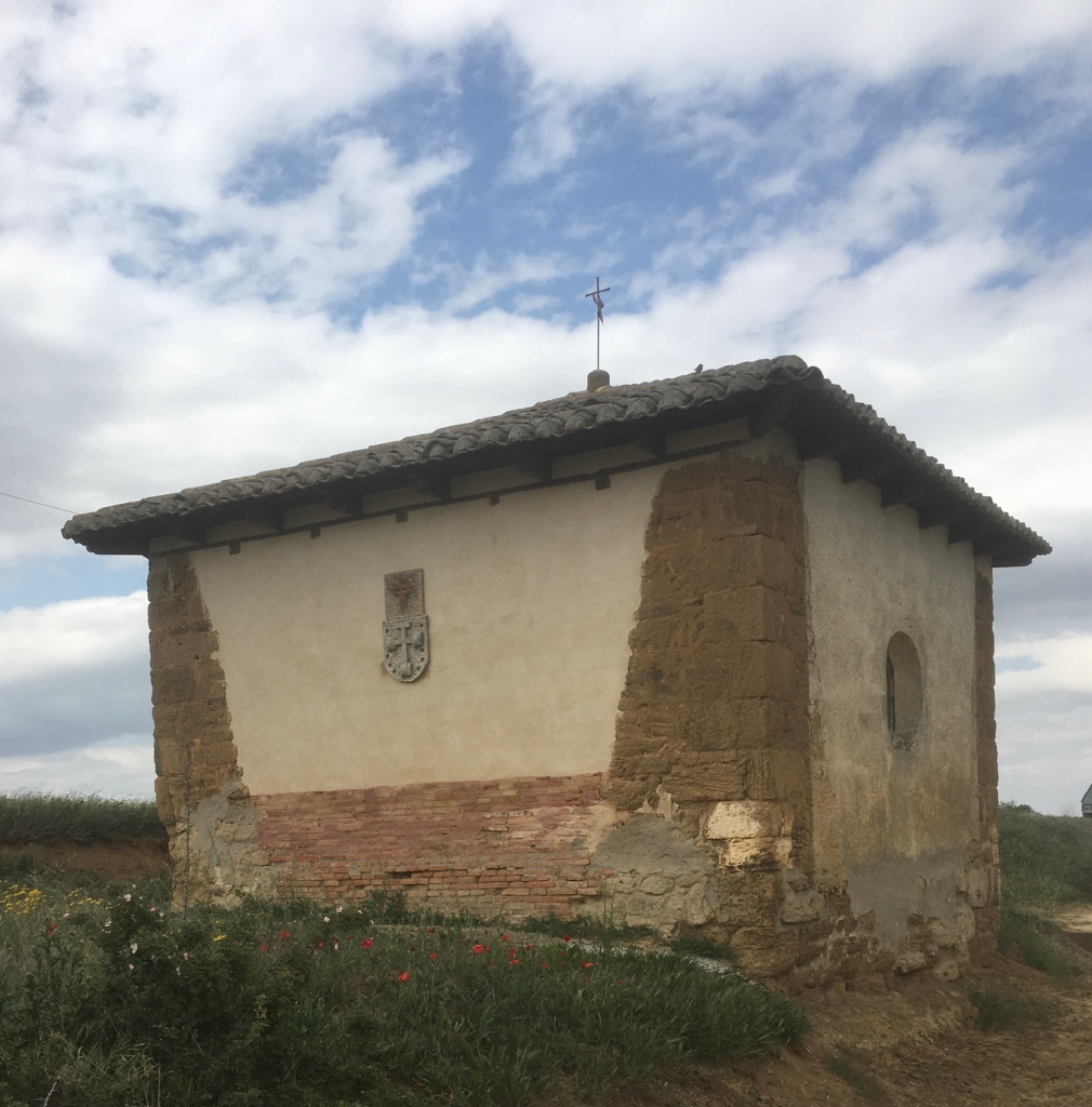
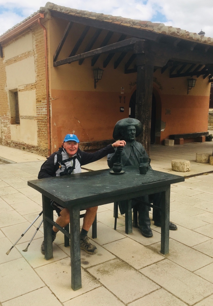
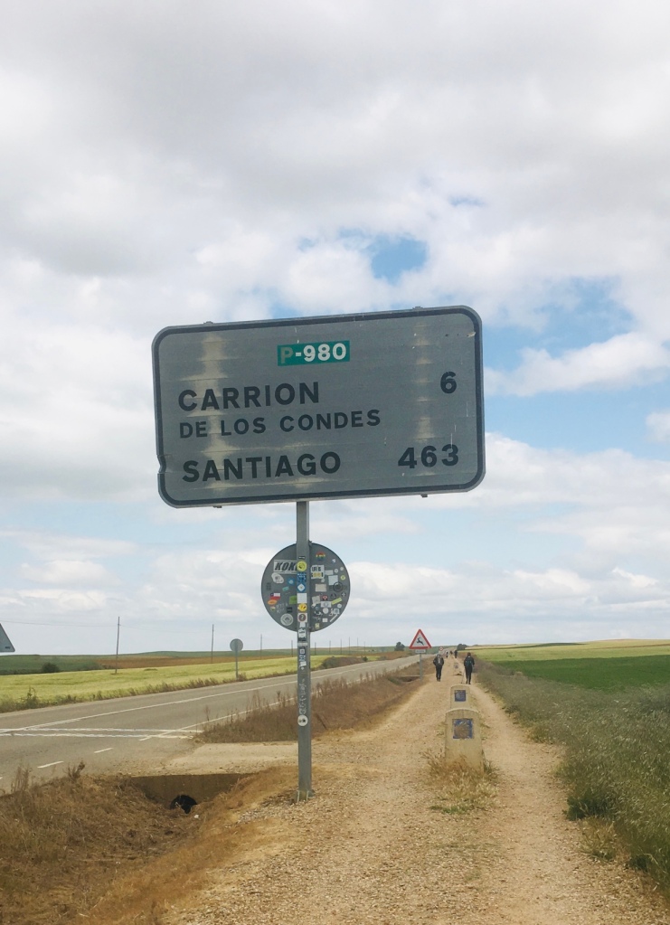
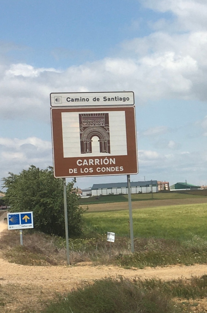
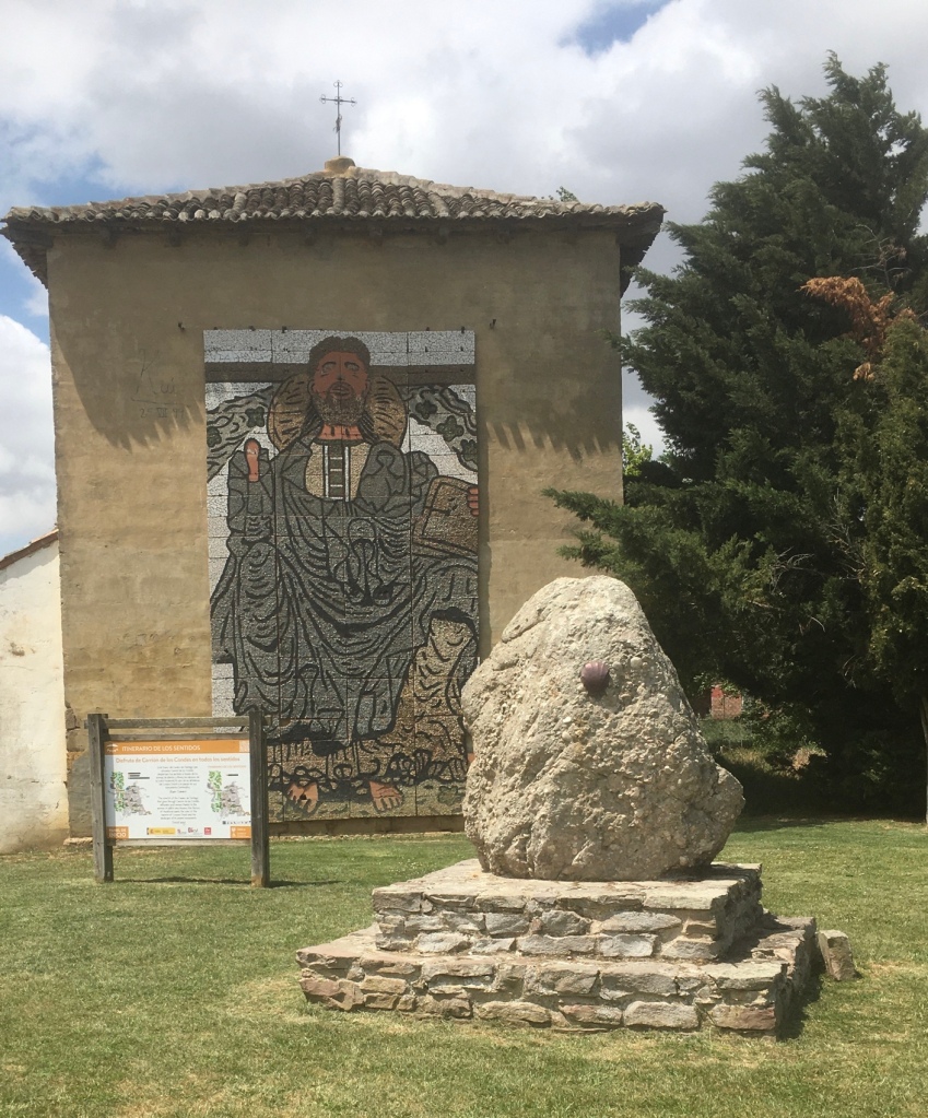
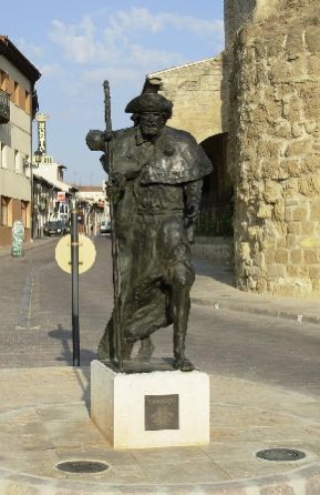
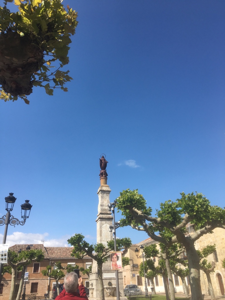
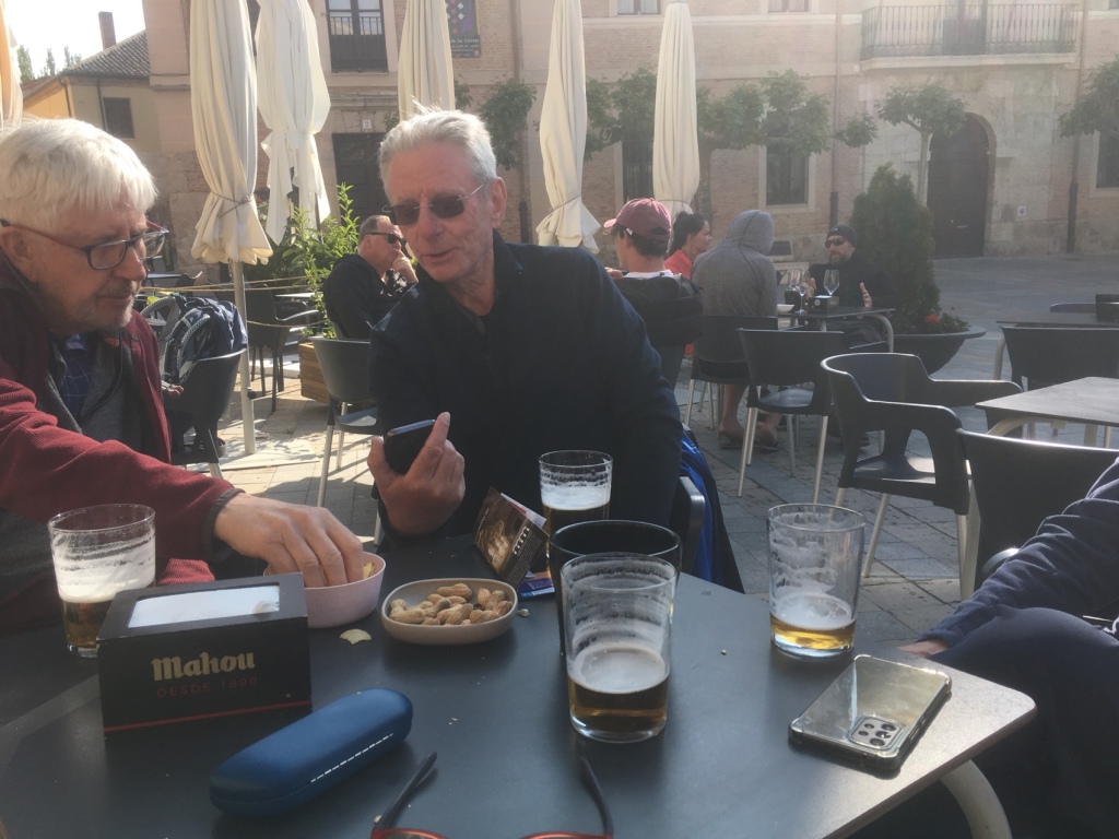
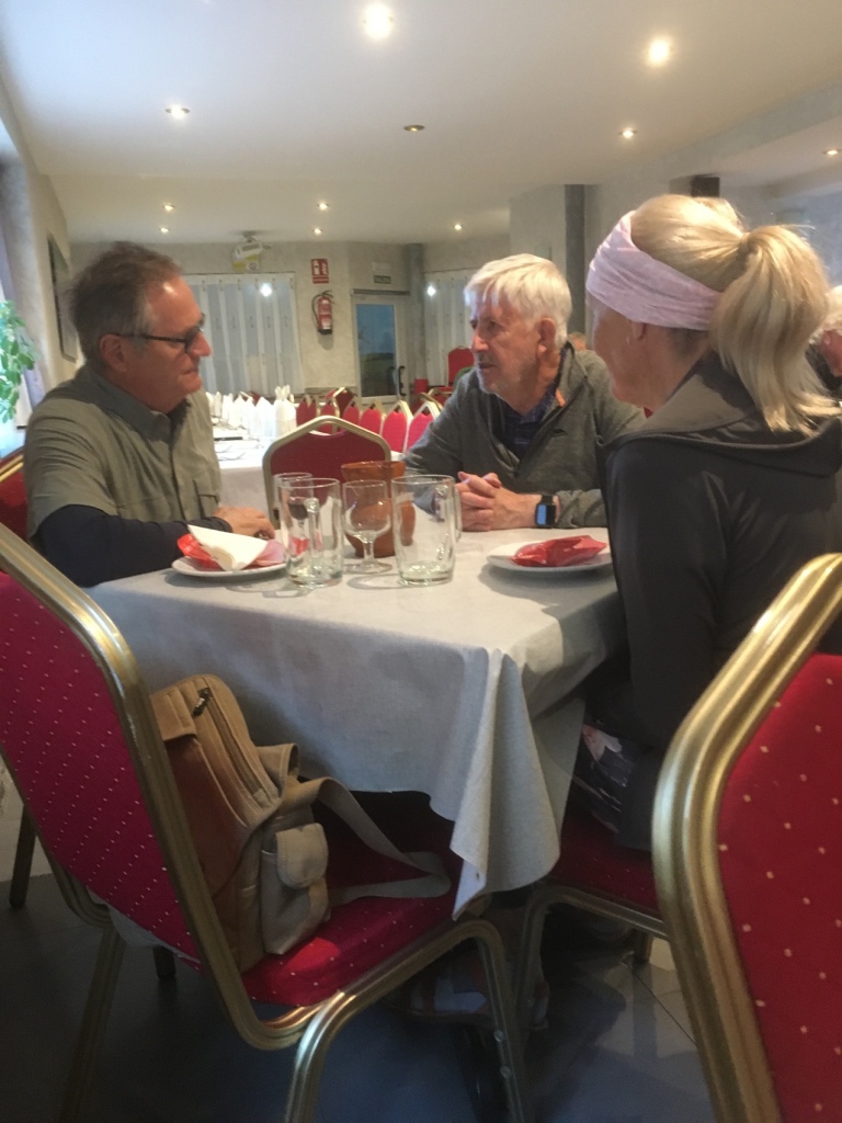
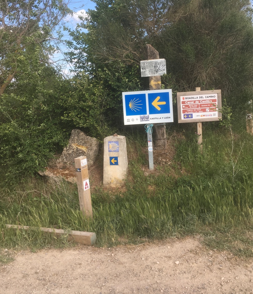
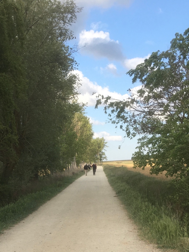
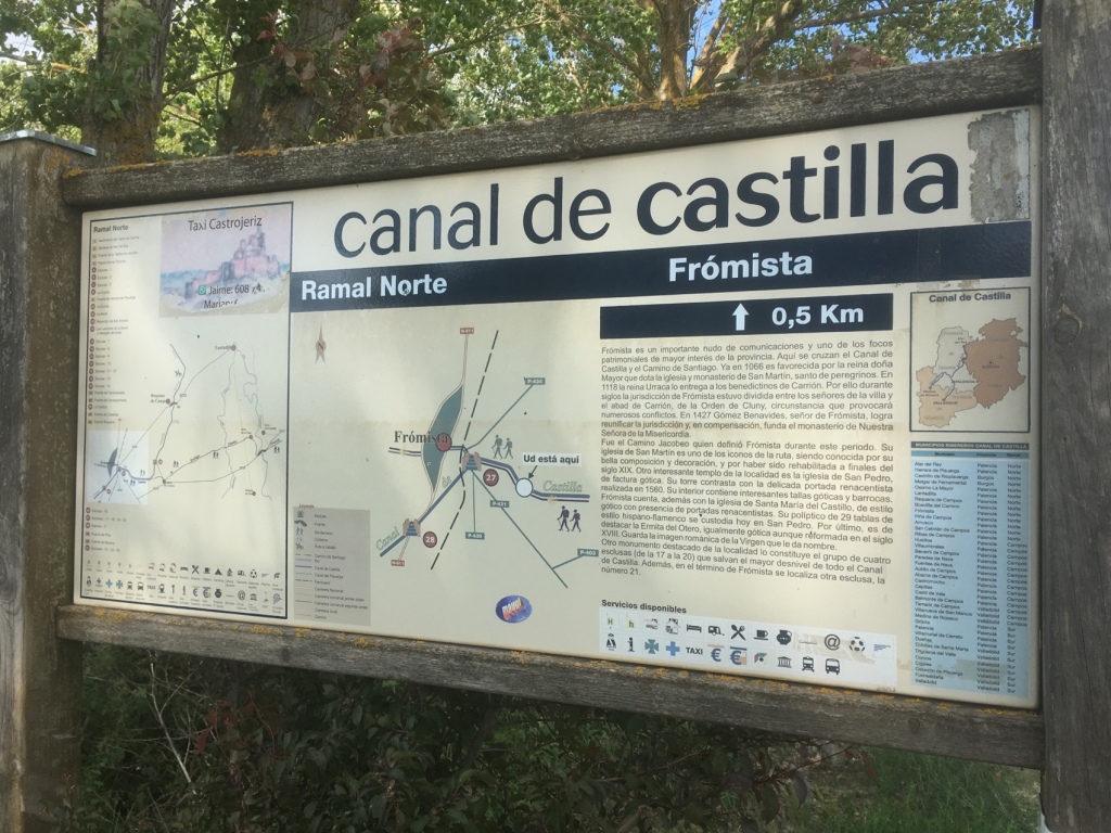
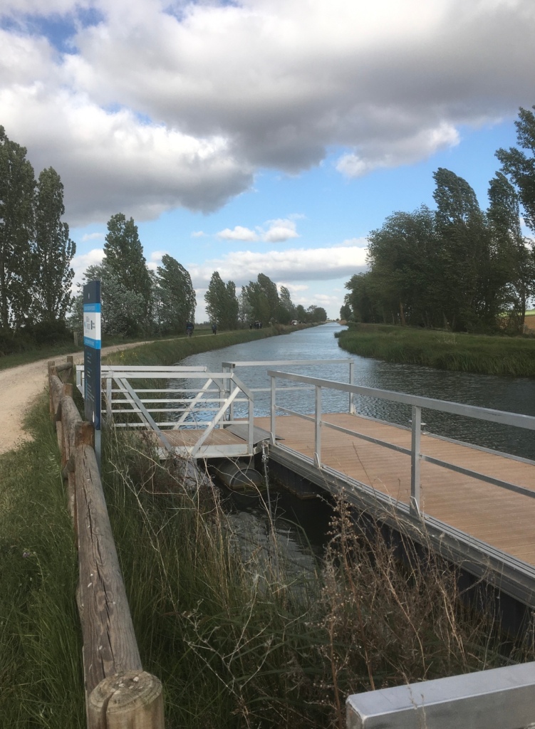
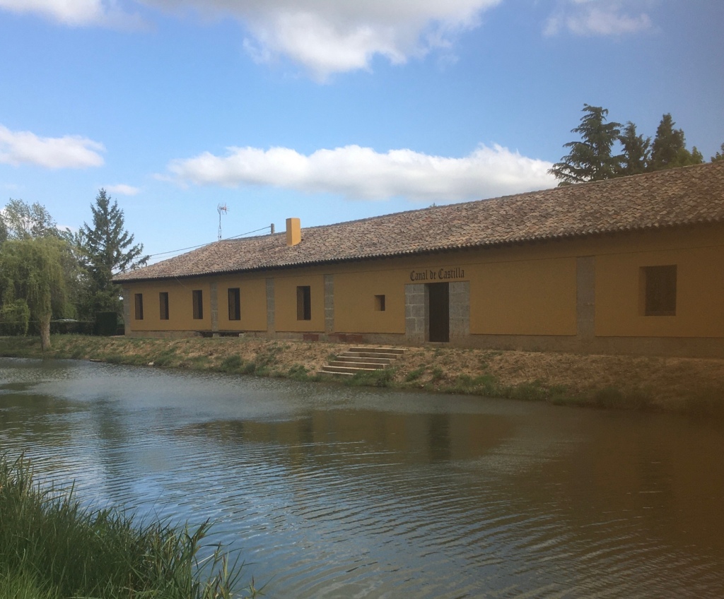
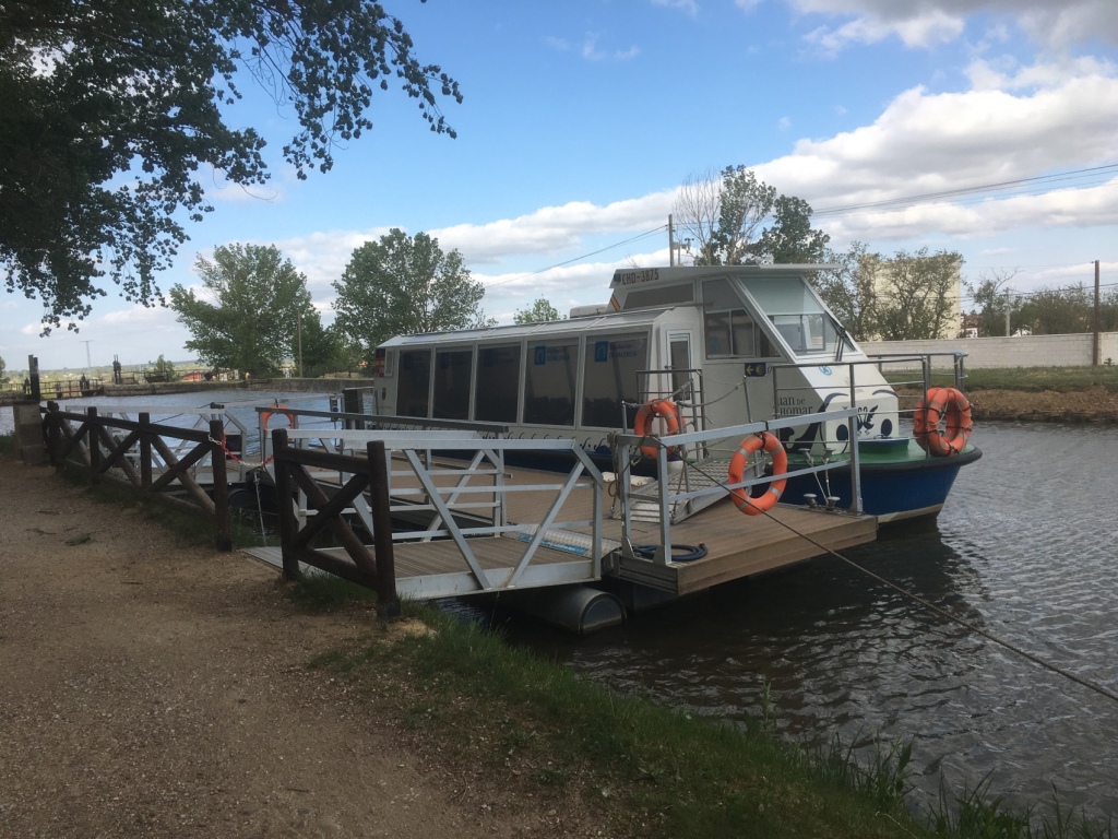
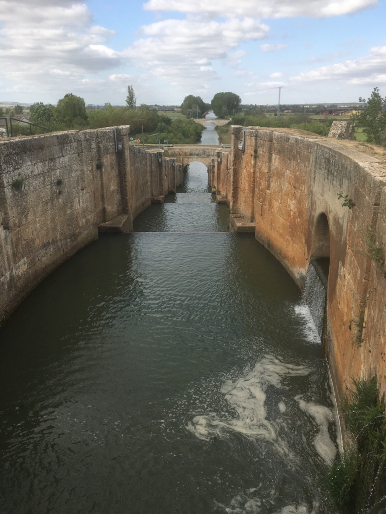
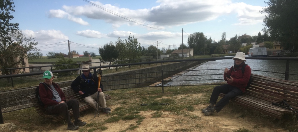
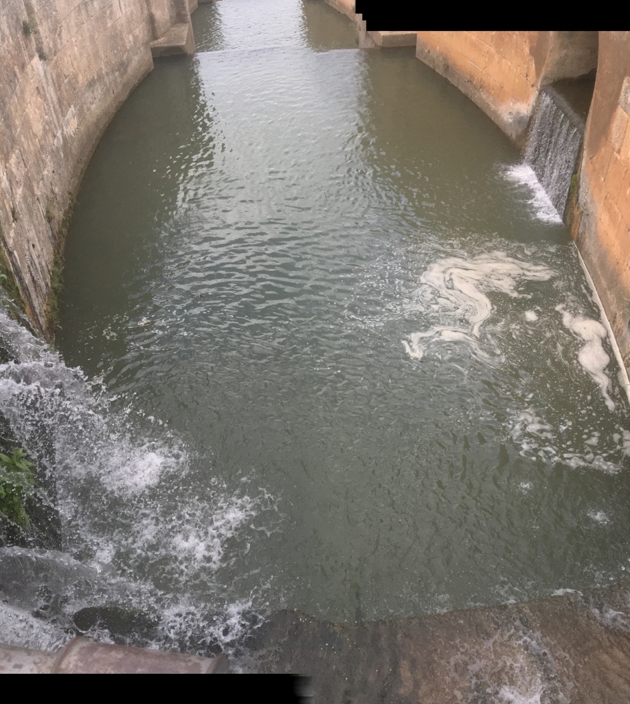
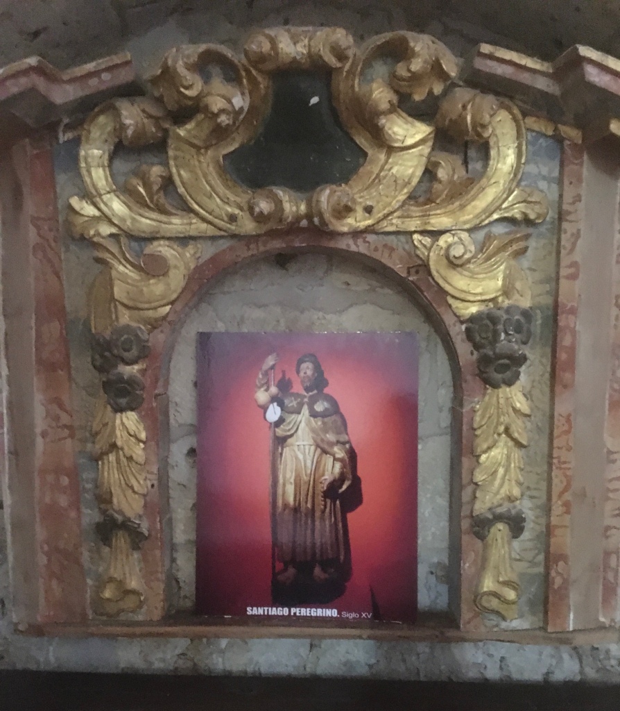
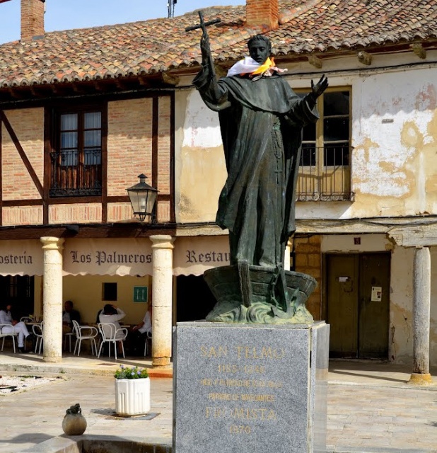
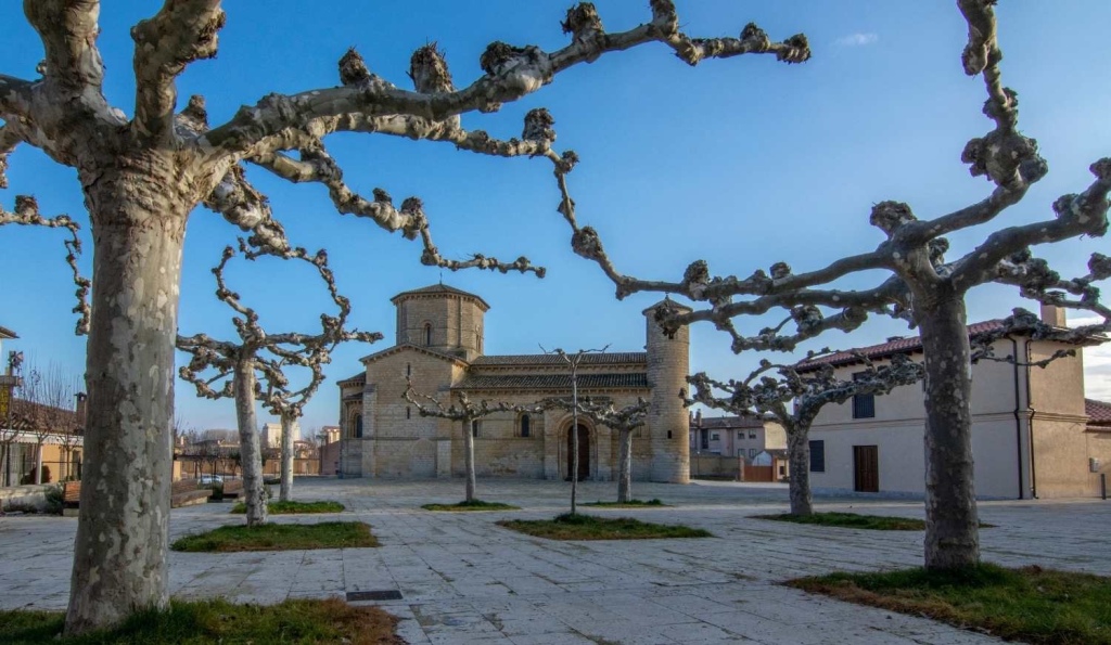
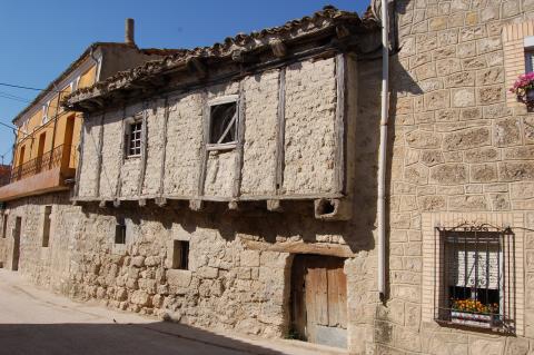
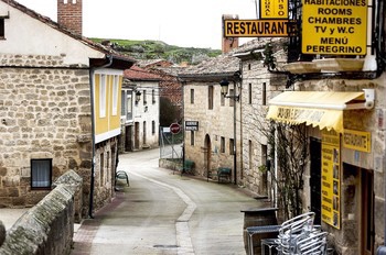
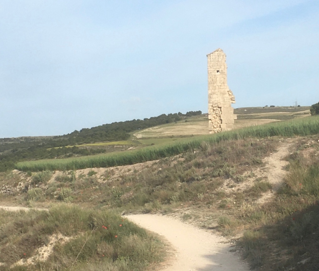
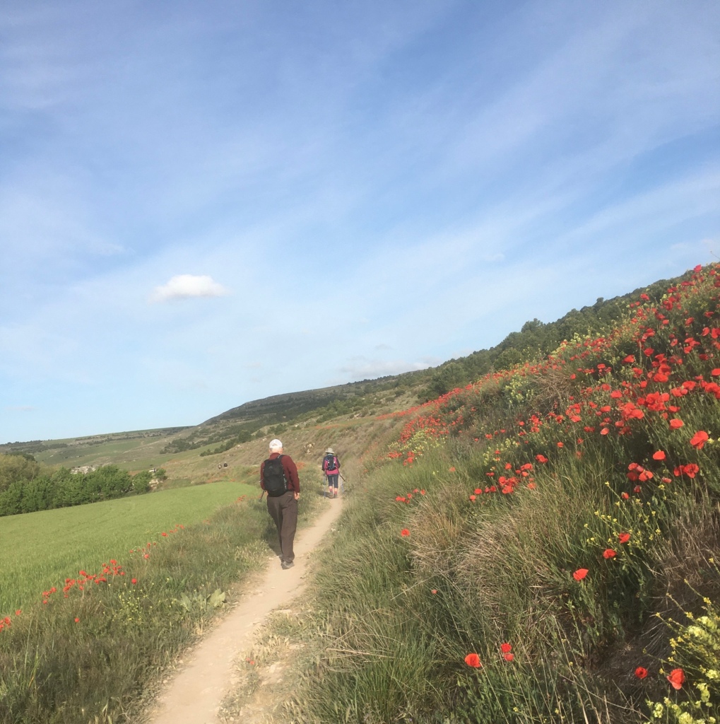
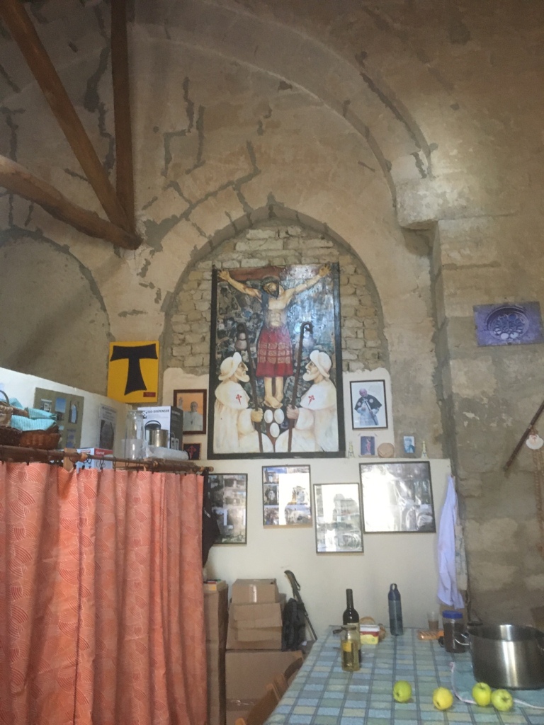
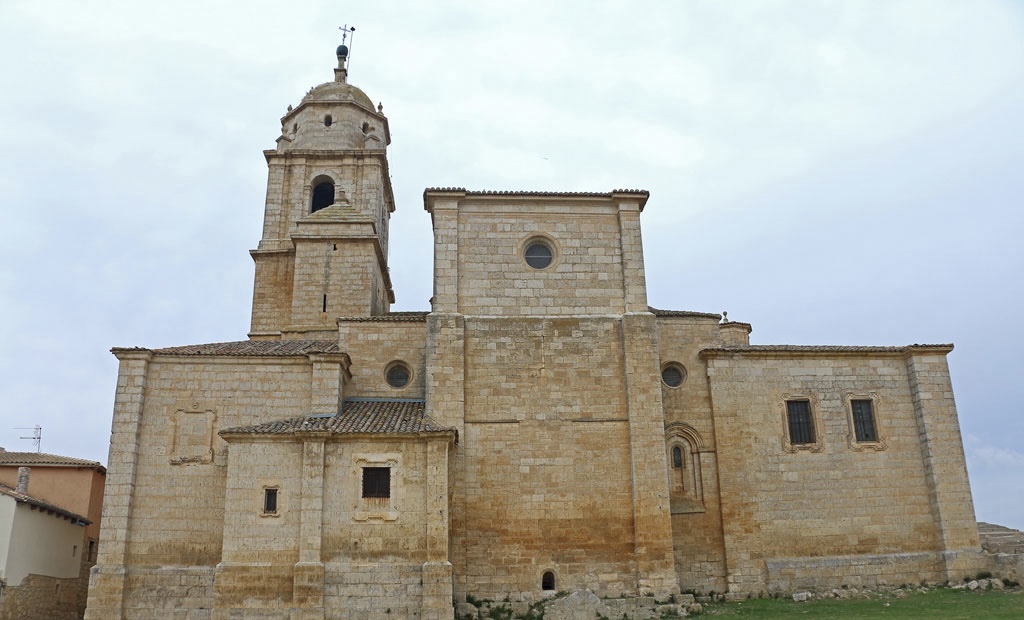
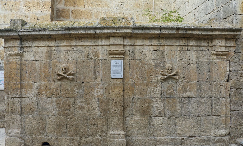
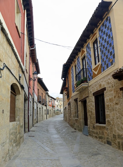
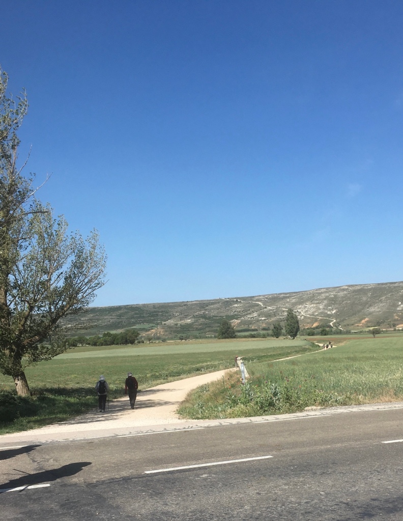
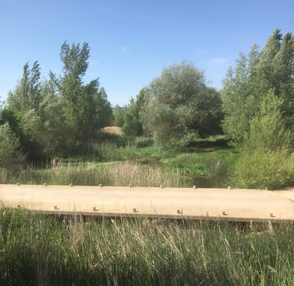
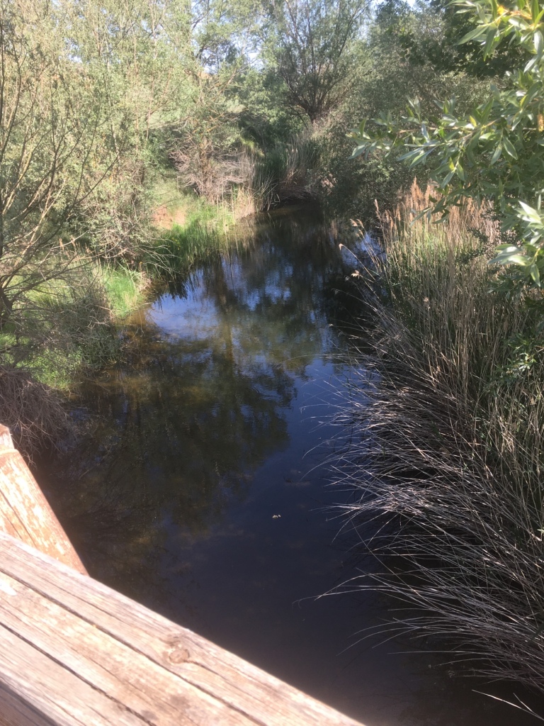
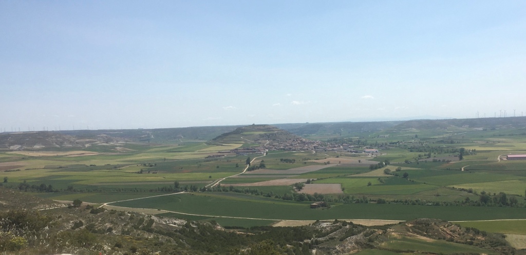
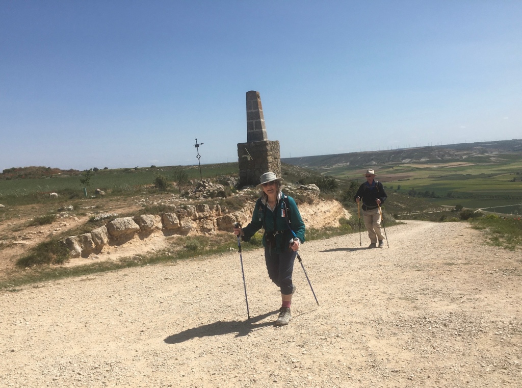
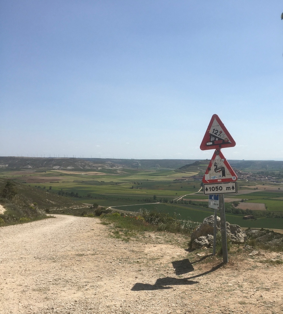
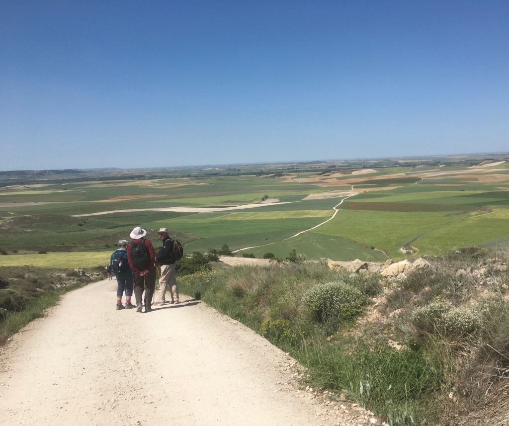
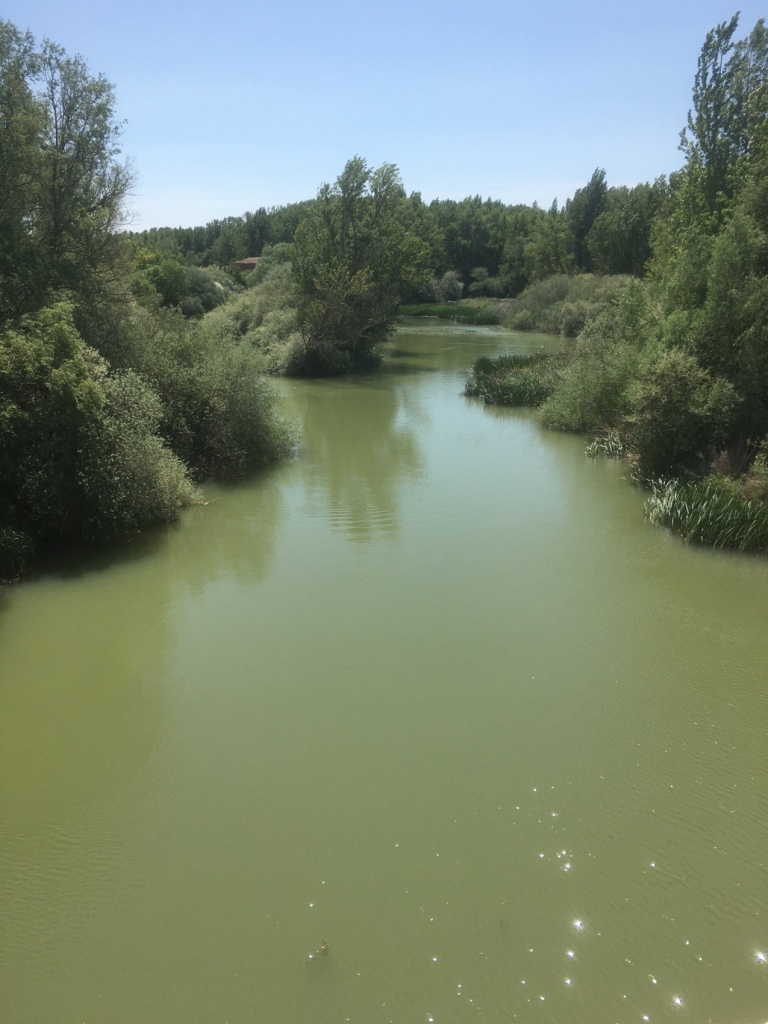
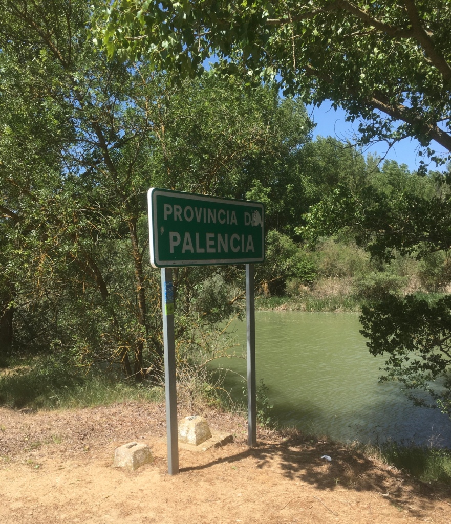
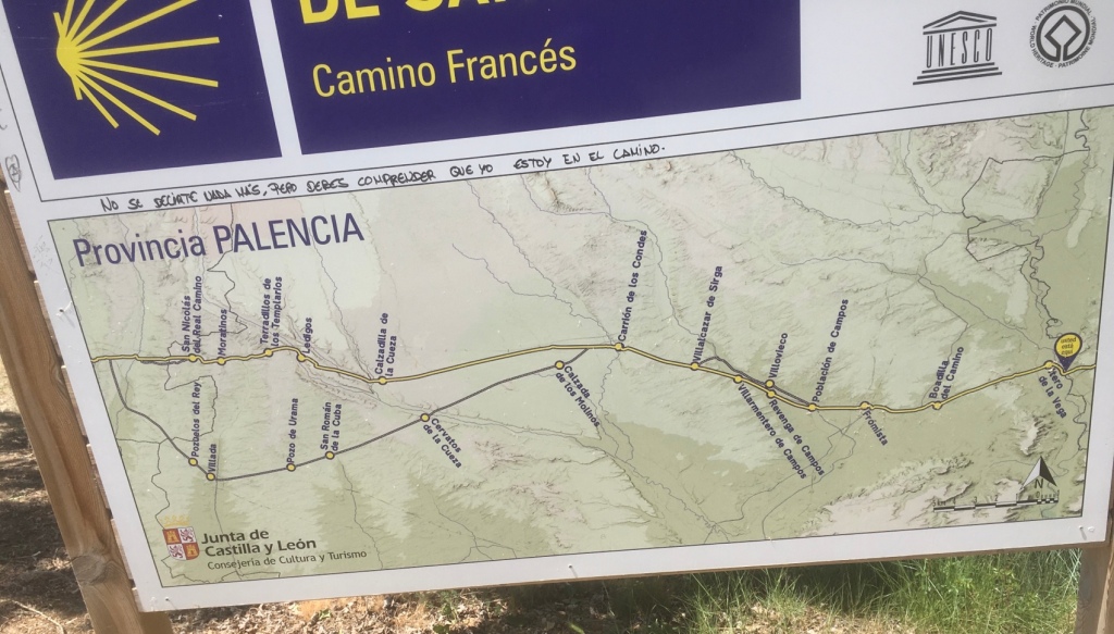
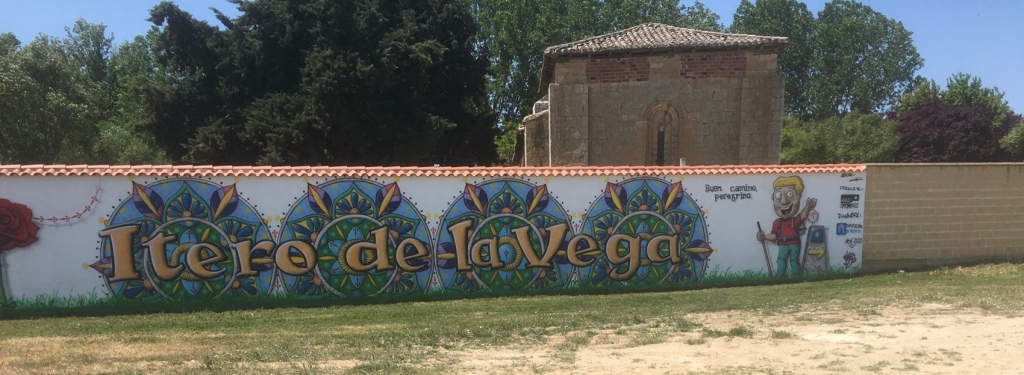
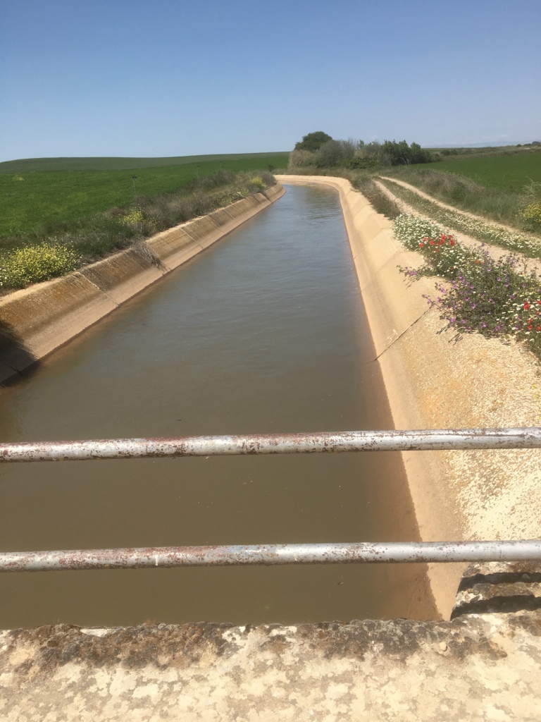
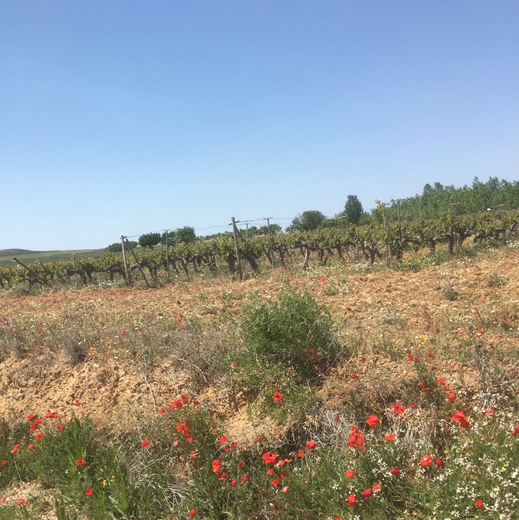
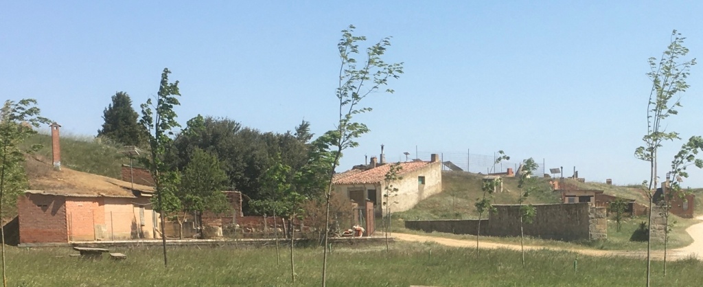
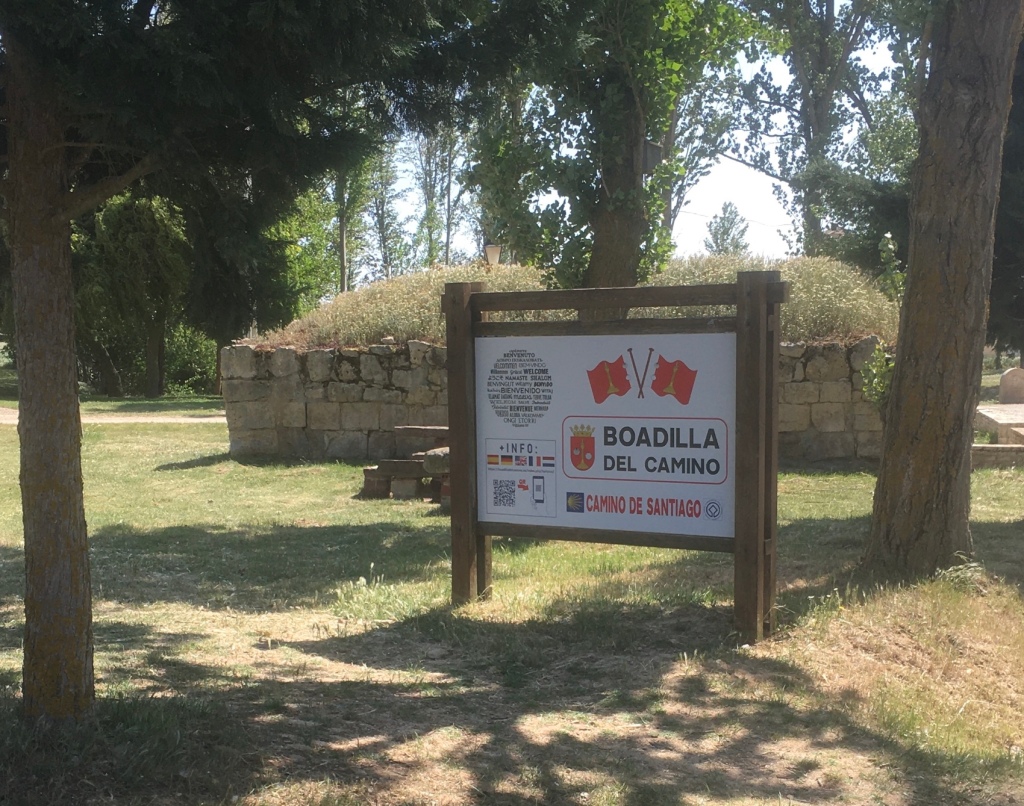
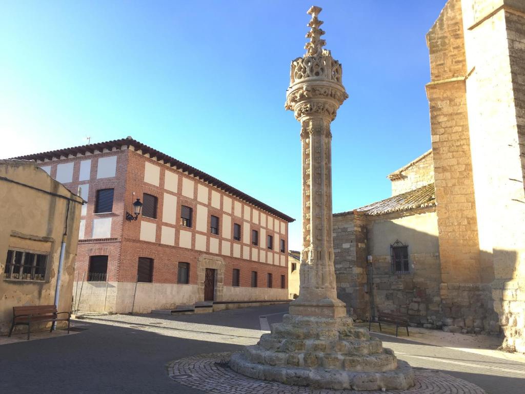
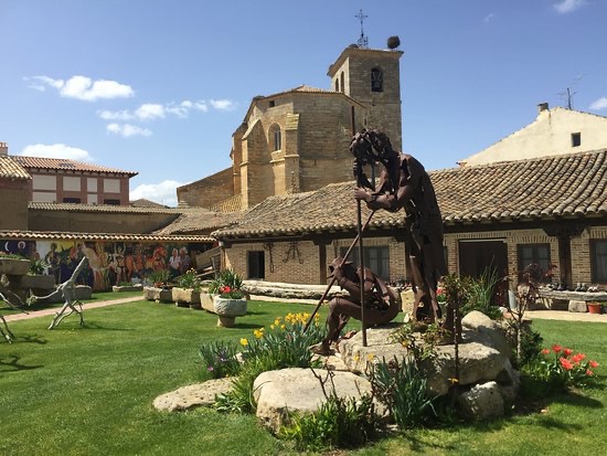
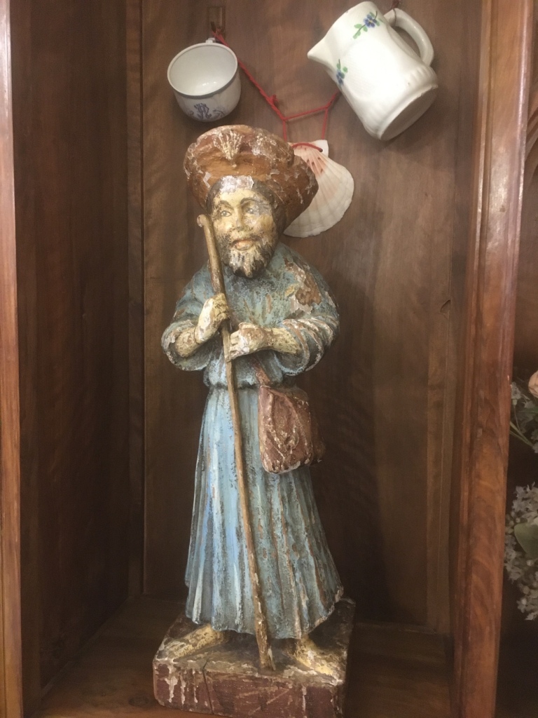
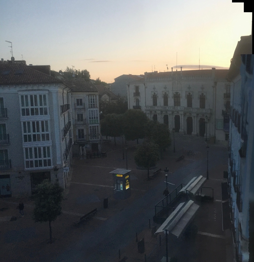
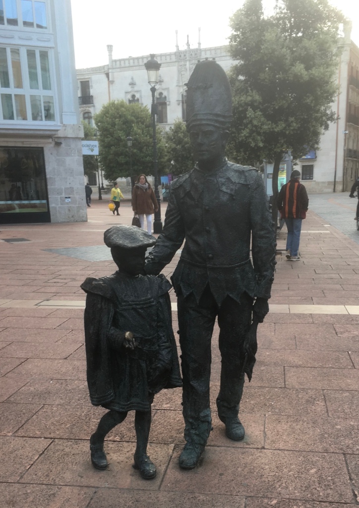
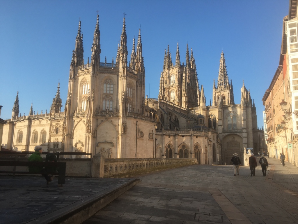
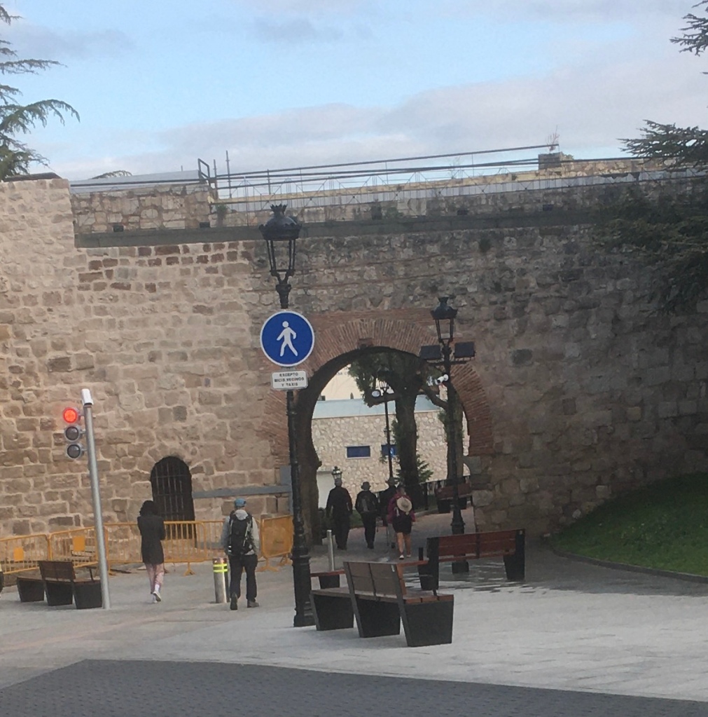
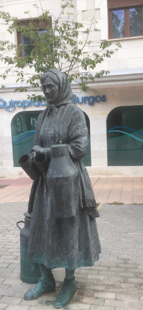
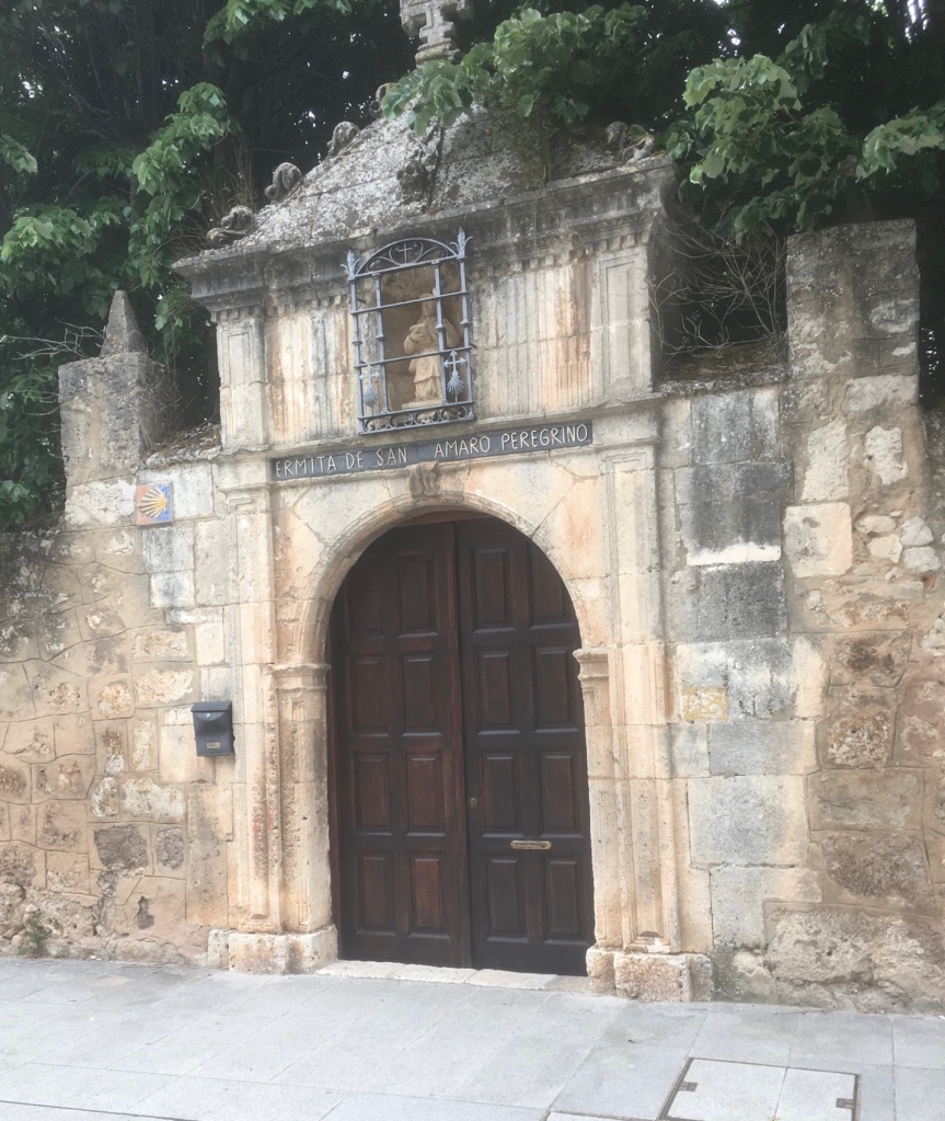
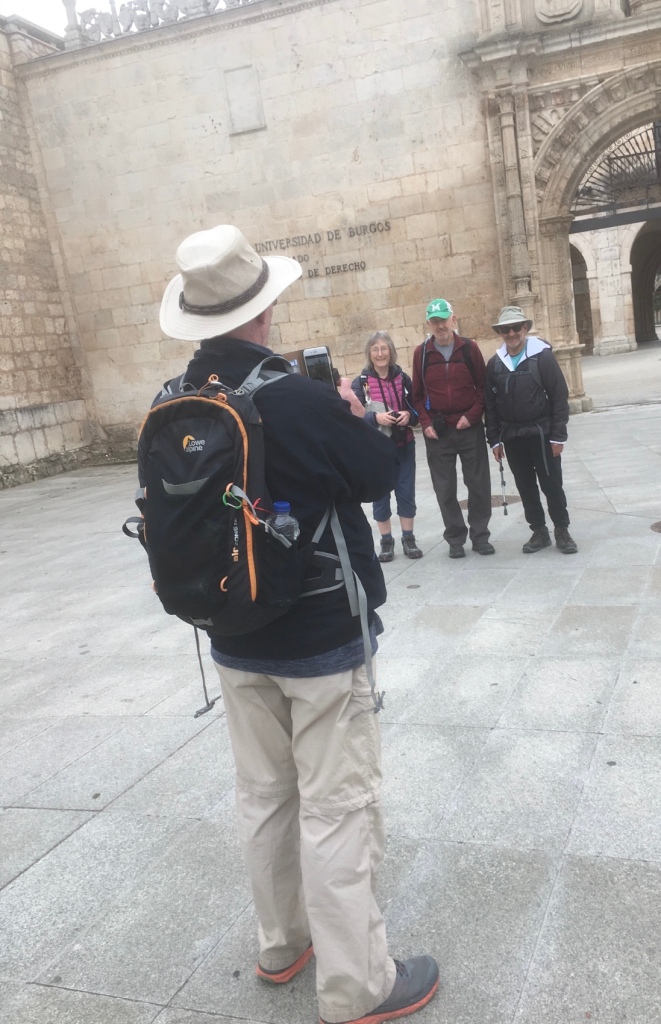
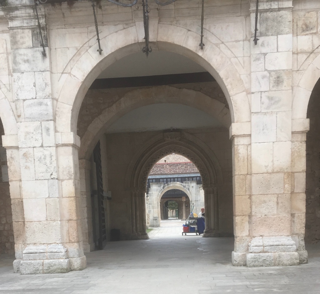
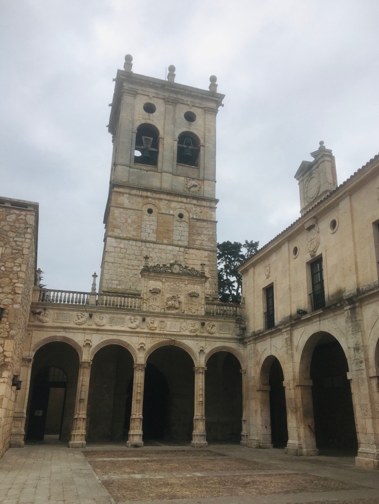
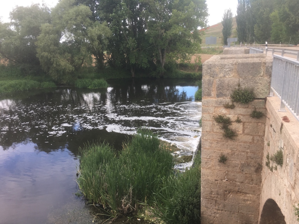
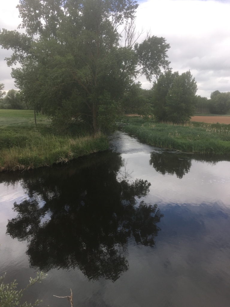
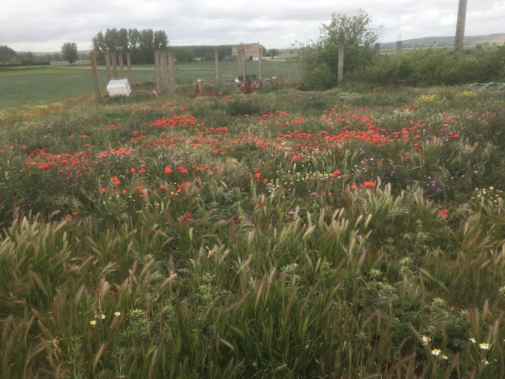
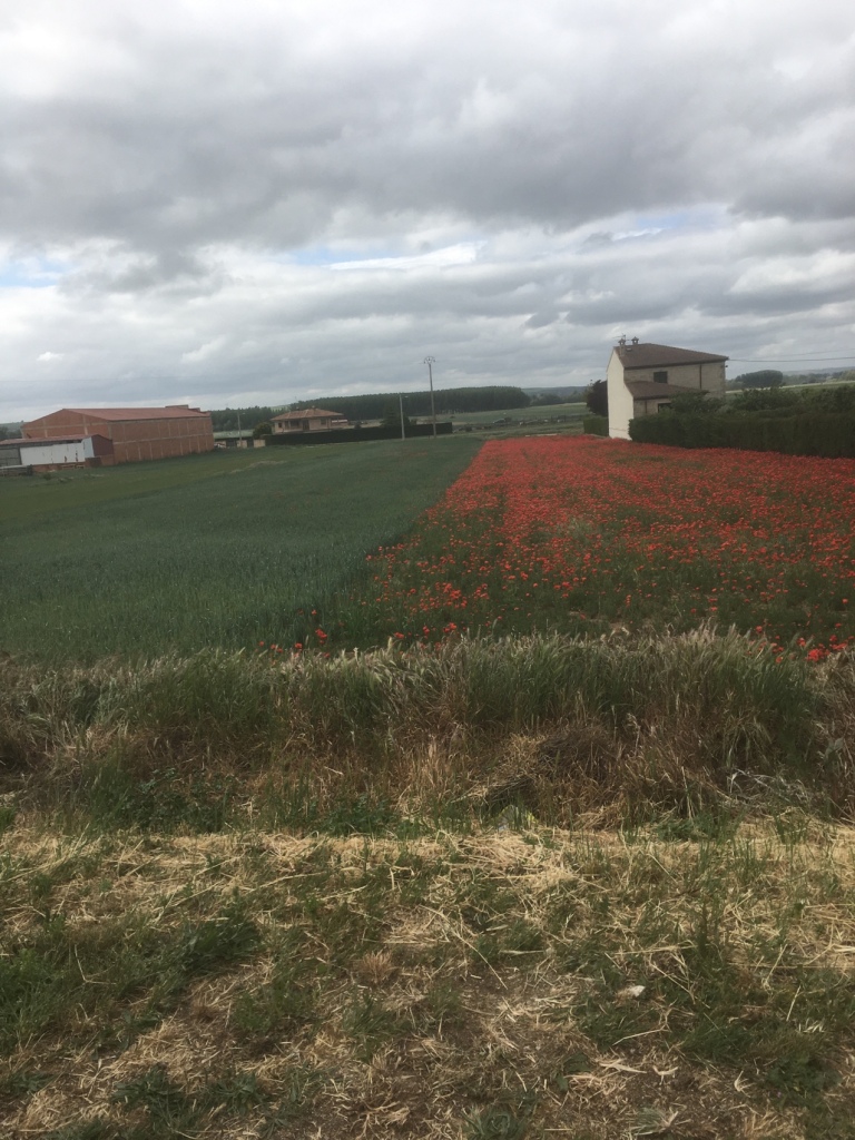
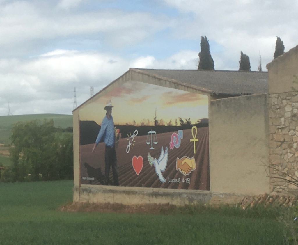
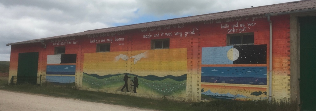
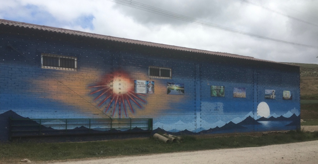
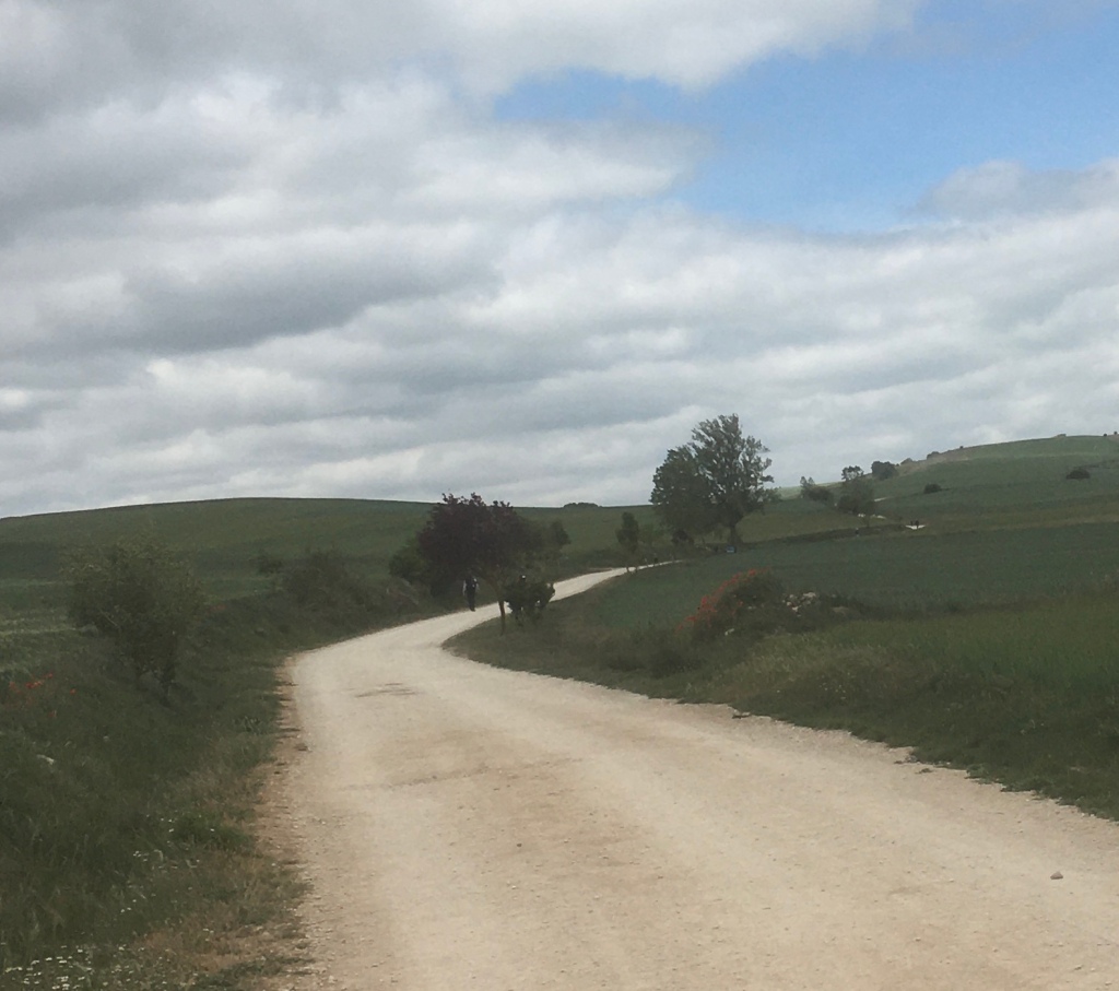
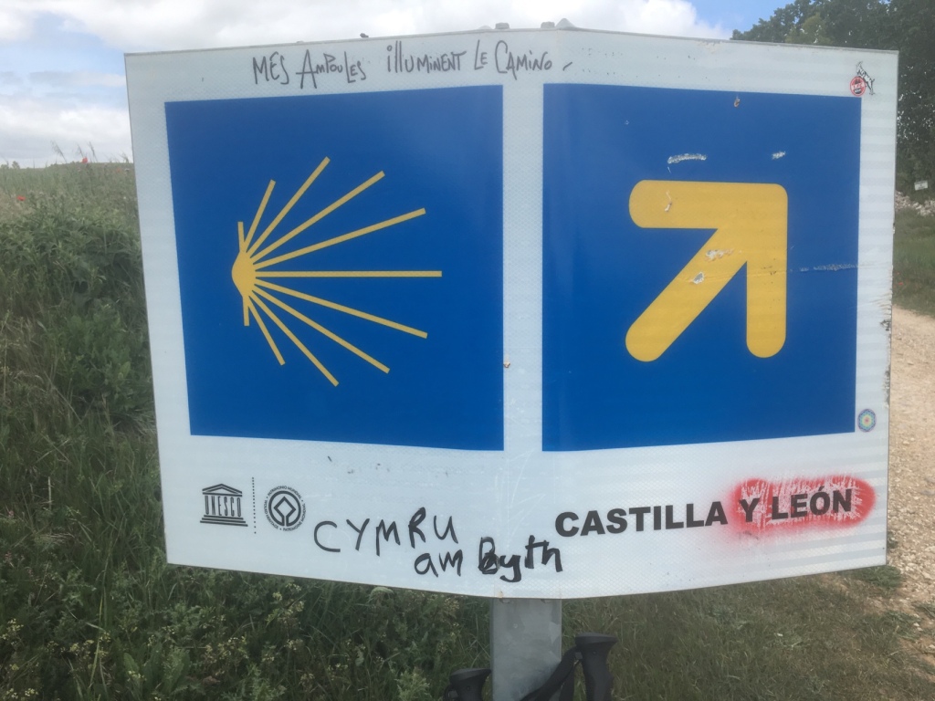
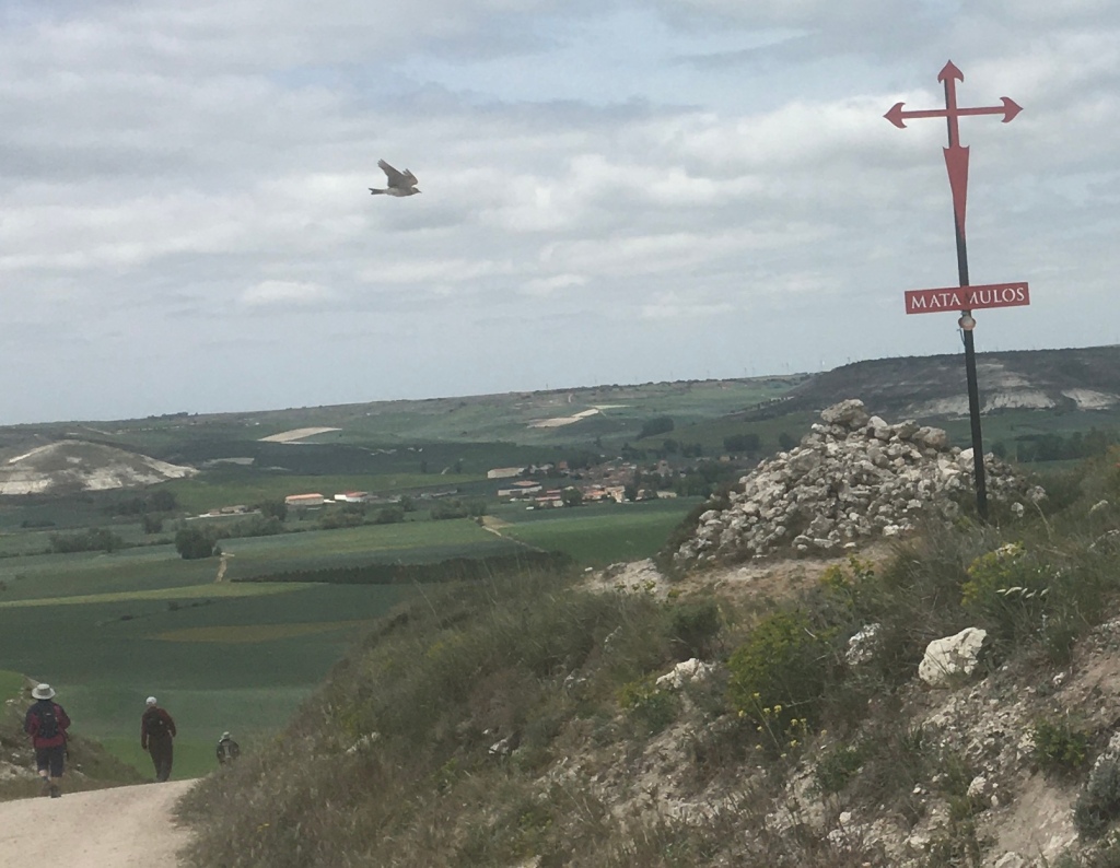
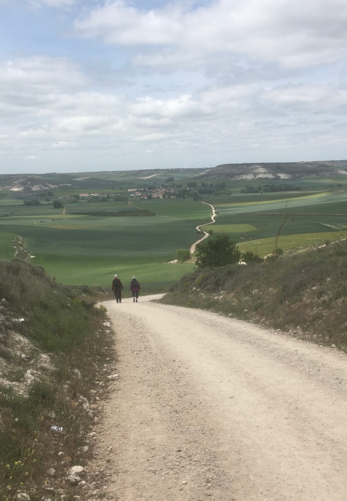
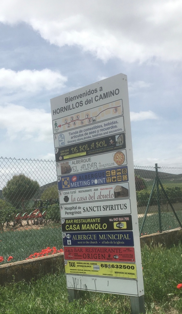
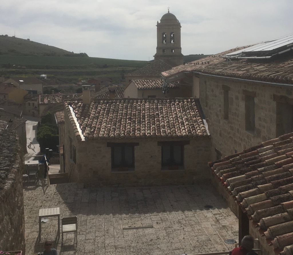
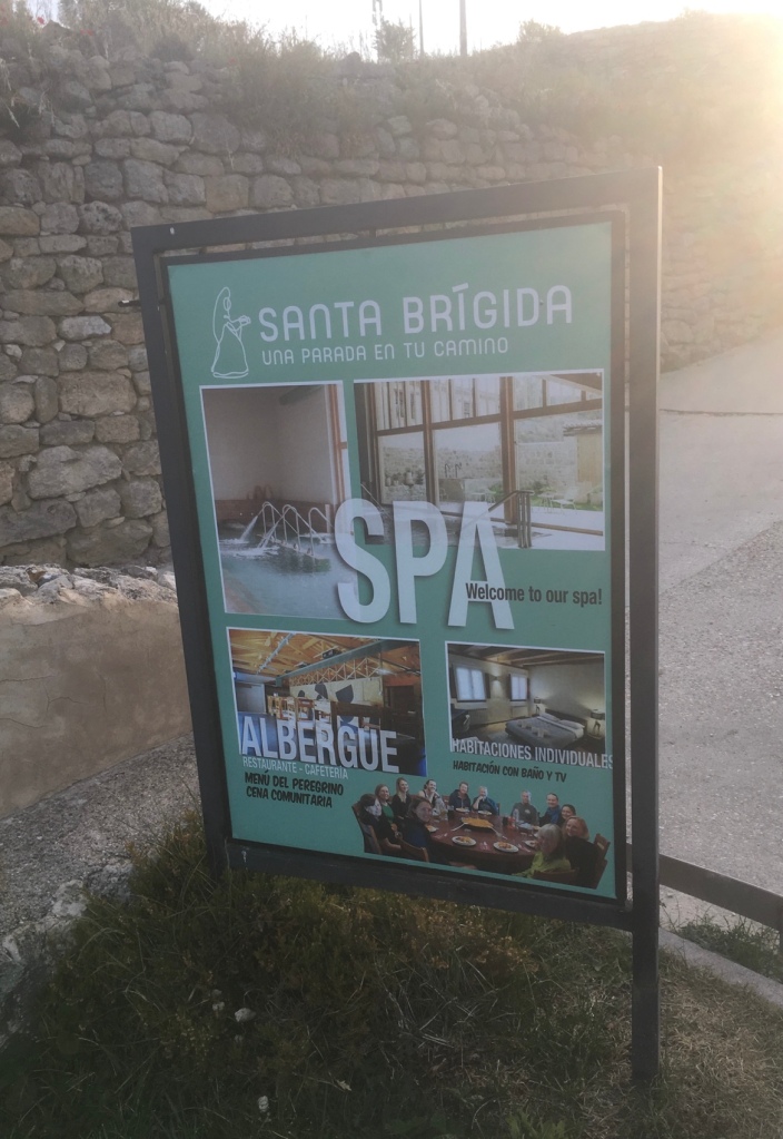
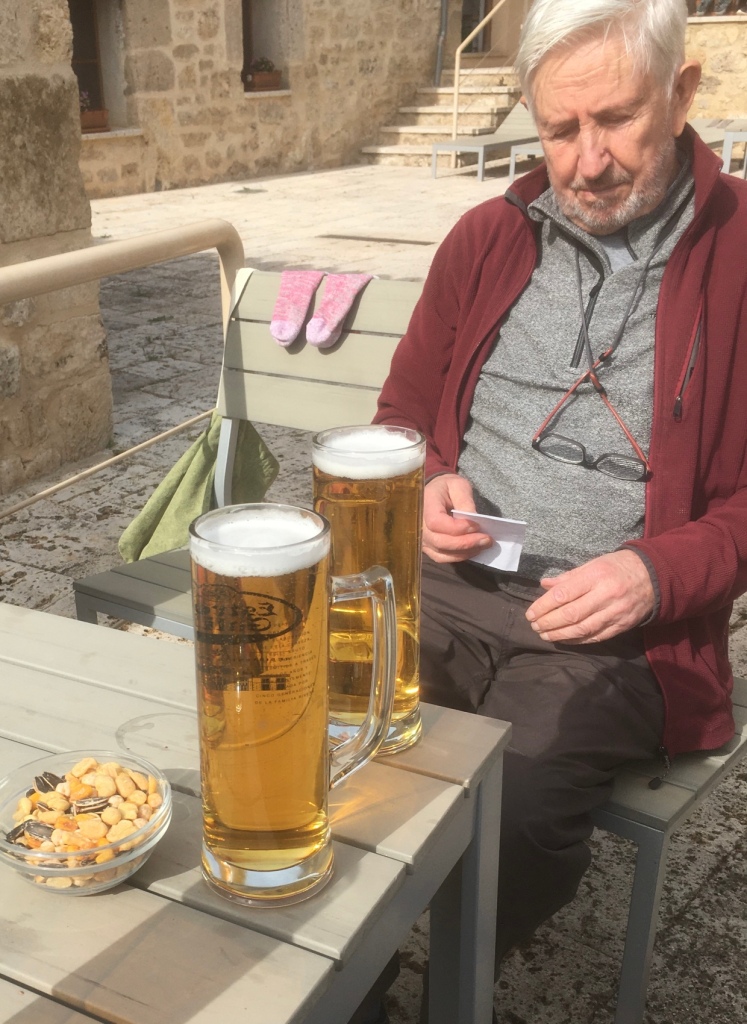
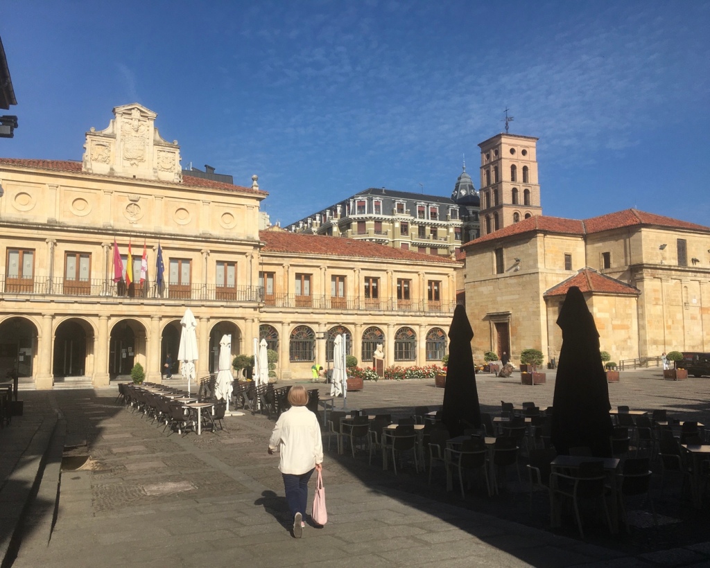
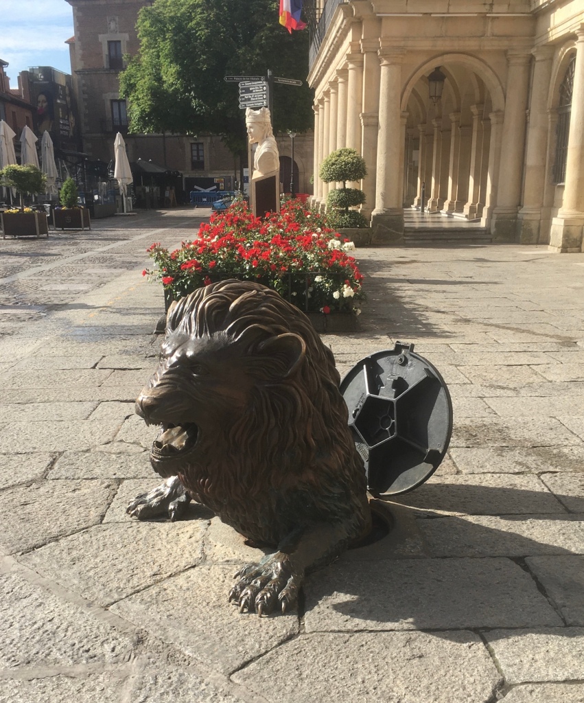
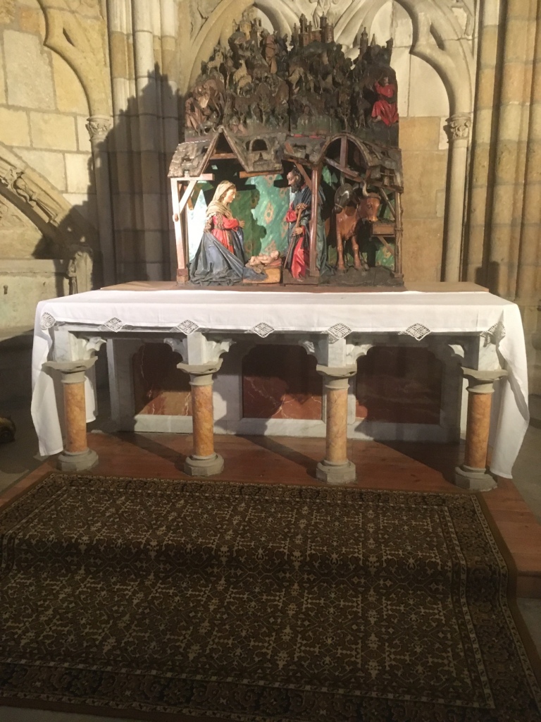
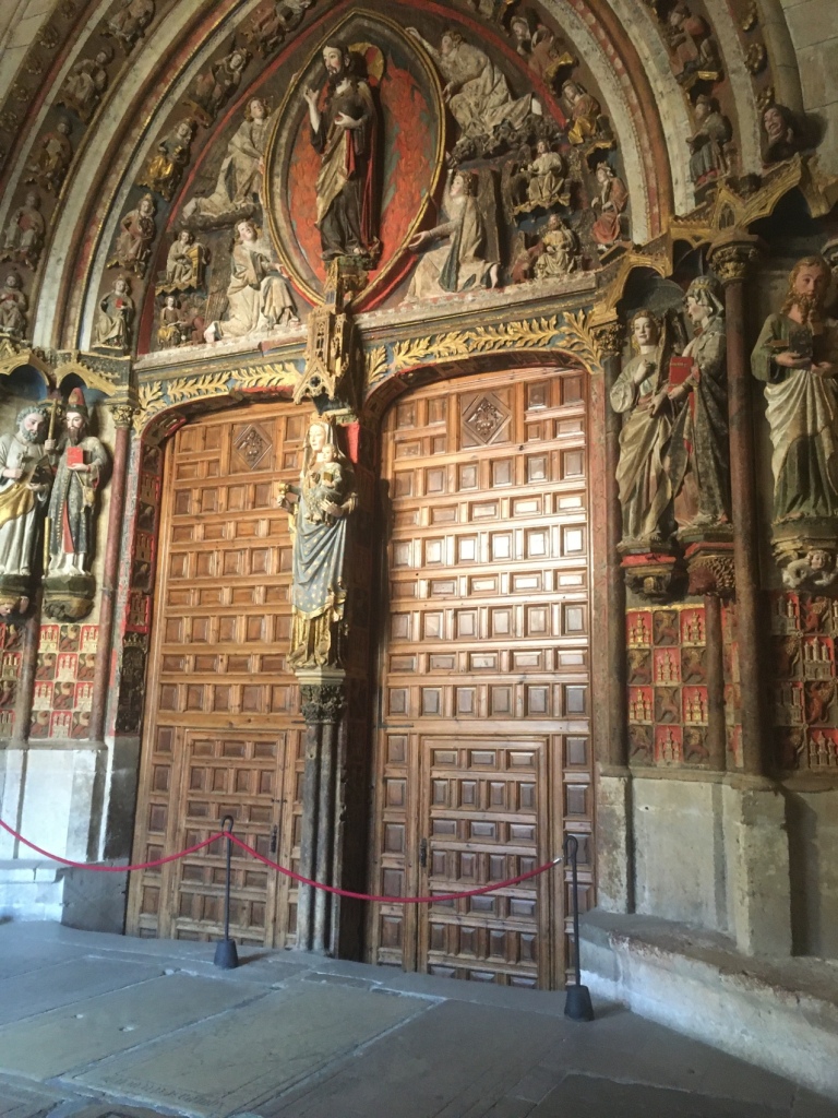
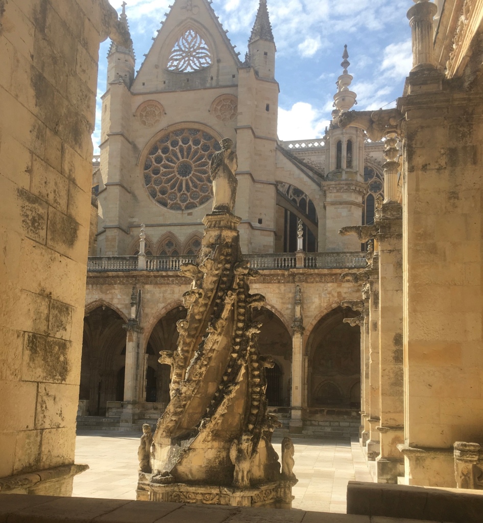
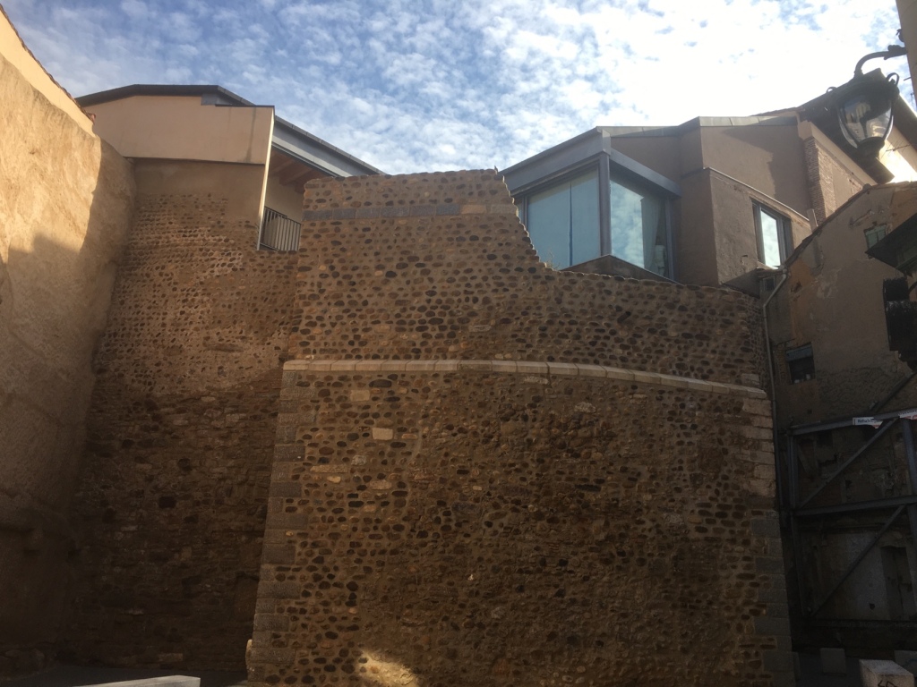
– click on the Union Jack. There is so much to enjoy here it would be impossible to do it justice in a Blog. So I shall just share some photos

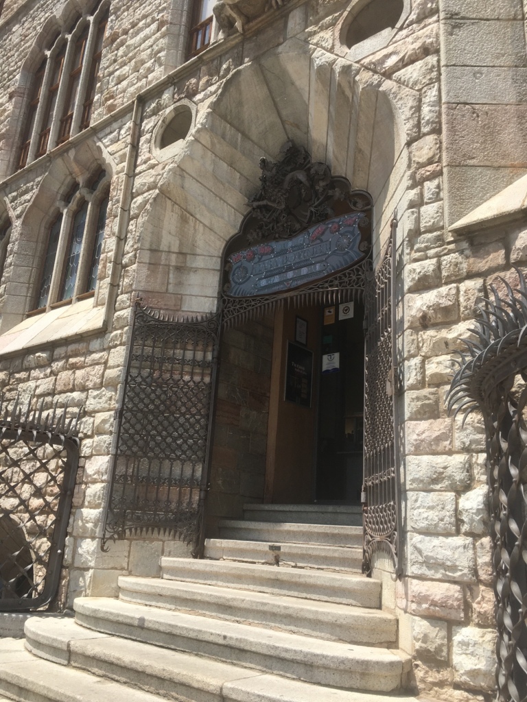
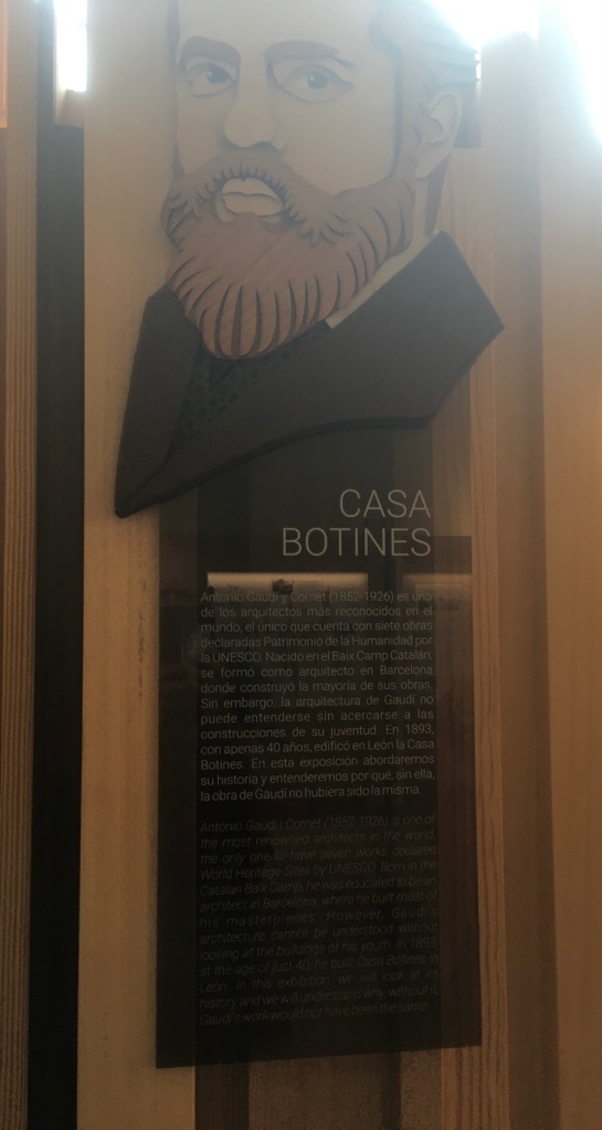
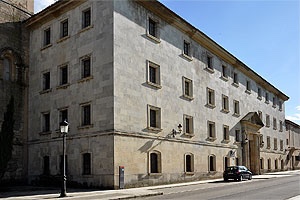
Gaudi in Leon
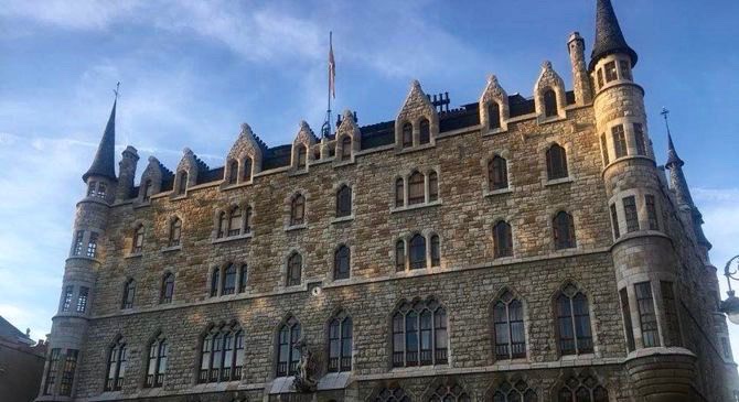
Gaudí Botines House Museum
At the end of the 19th century, a young architect who had never left Barcelona crossed the peninsula to build a fabric warehouse in León.
His name was Antonio Gaudí, and the building would be Casa Botines.
A unique work that cities all over the world would dream of.
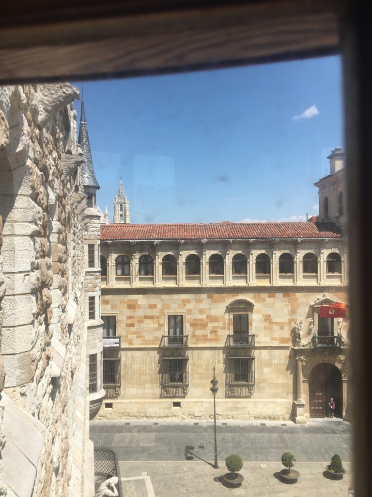
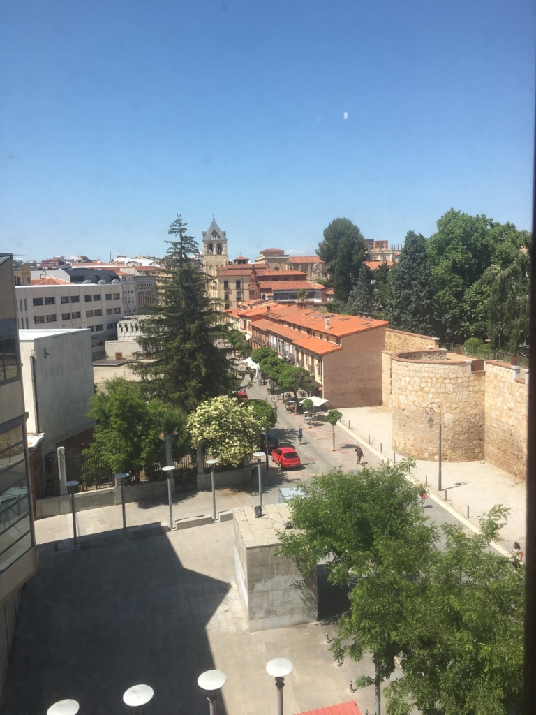
Casa Botines is part of the monumental itinerary that any traveler wants to know when visiting a place.
There is no history of art or architecture that ignores its originality and its contribution to the world of construction.
The building, declared a National Historical Monument in 1969, is an amazing example of what the art of architecture is.
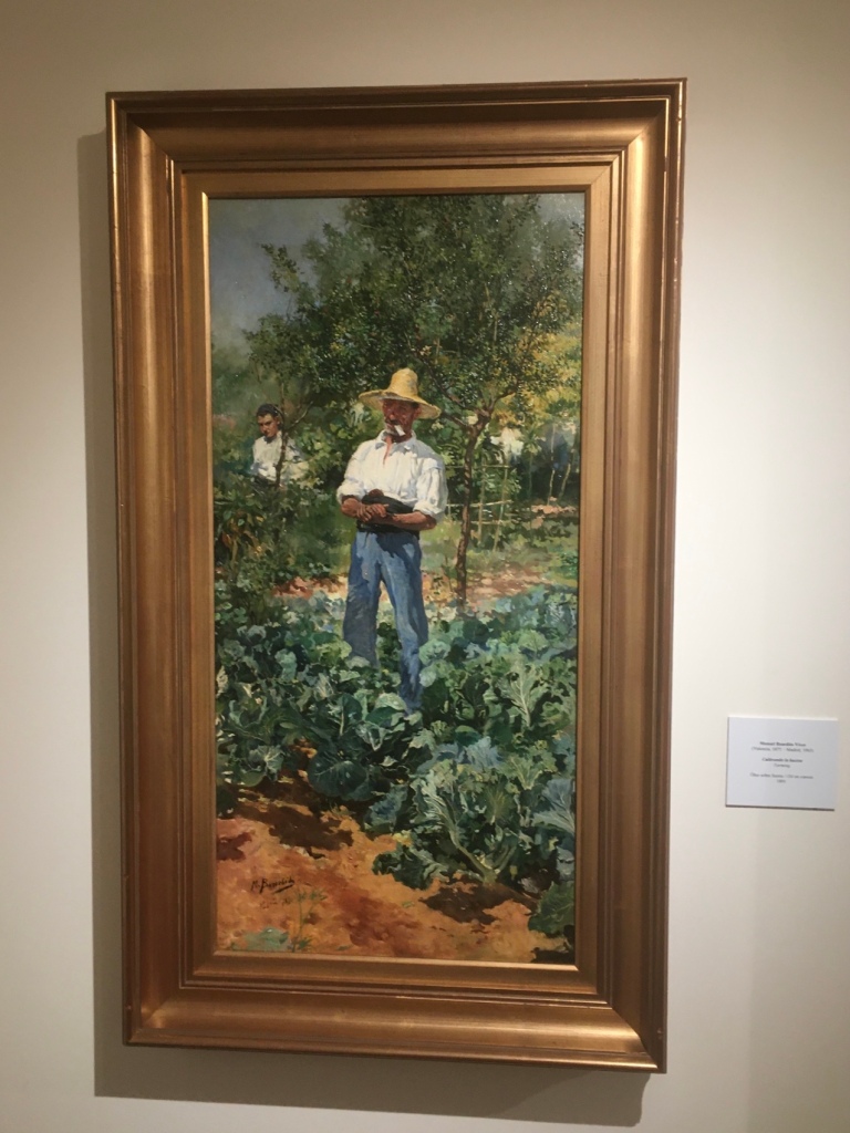
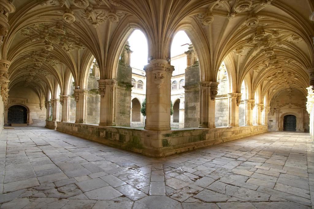
The Museum, dedicated to the history of the building, the figure of Antonio Gaudí and art and painting from the 19th and 20th centuries, exhibits the Fundación España-Duero Collection with works, among other artists, by Ramón Casas i Carbó, Raimundo de Madrazo, Joaquín Sorolla, José Navarro Llorens, Ignacio Pinazo, Nicanor Piñole and Joaquín Mir Trixet.
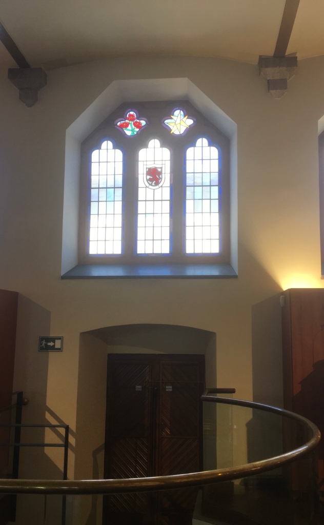
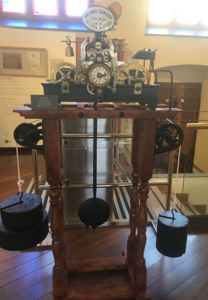
Gaudí’s magic is present in multiple details such as the Catalan vaults, the cast iron columns, the stained glass windows on the noble floor, the light in the patios, the wooden and wrought iron stairs or the basement that houses -among other curiosities- the original tower from 1893.
Casa Botines is one of the most interesting pieces of nineteenth-century architecture in Spain, whose angular towers give it the appearance of a fairytale castle.
The Gaudí of Casa Botines is the most architect Gaudí, the artist who knows how to unite technique and aesthetics without a solution of continuity.
THIS IS AN EXTRACT FROM THIS INFORMATIVE WEBSITE https://www.turismocastillayleon.com/es/arte-cultura-patrimonio/museos/museo-casa-botines-gaudi